
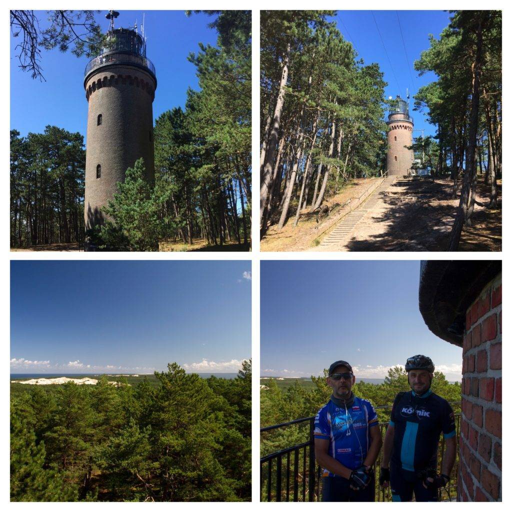

Charakterystyka trasy

Komentarze
NA TYCH TRASACH PRZYDA CI SIĘ MAPOPRZEWODNIK LUB MAPA Z NASZEJ APLIKACJI
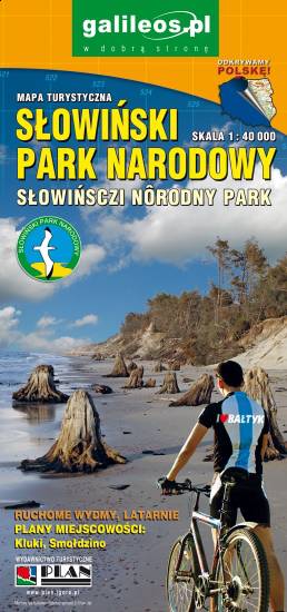
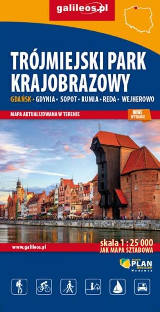
Mapa Trójmiasta obejmuje swoim zasięgiem obszar Trójmiejskiego Parku Krajobrazowego od Wejherowa przez Redę, Rumię, Gdynię, Sopot aż do Gdańska. Na mapie ujęto wszystkie informacje przydatne turyście. Podano aktualne przebiegi szlaków pieszych, rowerowych, konnych, nordic walking i konnych, łącznie z kilometrażem.
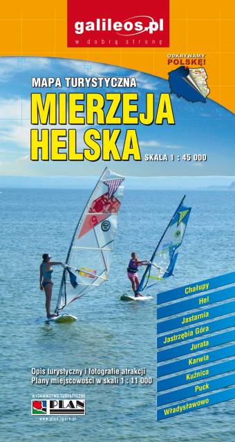
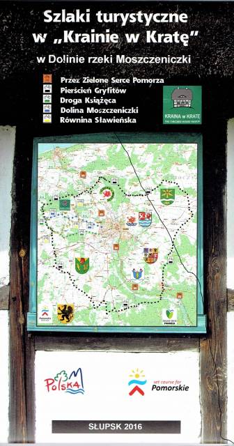
Najnowsza mapa regionu, której głównym elementem jest Pierścień Gryfitów. Mapa jest dostowana zarówno do wędrówek pieszych, jak i rowerowych oraz samochodowych wycieczek. Sam Pierścień Gryfitów, to długa trasa rowerowa, na której przemierzenie należy przeznaczyć co najmniej dwa dni. Dzięki mapie Krainy w Kratę można dobrze rozplanować podróż, uwzględniając okoliczne atrakcje. Przystępna skala 1:50 000 pozwala łatwo nawigować w ternie i zawsze odnaleźć właściwą drogę. Na mapie znajdziemy także Słupsk, który zwany jest Paryżem Północy, który swoim wyglądem przypomina zielony ogród pełen kwiatów.
Mapa turystyczna "Wybrzeże Bałtyku. Ustka - Darłowo" prezentuje przede wszystkim liczne szlaki piesze i rowerowe, znaleźć na niej można także szlaki kajakowe. Dla łatwiejszej orientacji w terenie podano także nazwy ulic. Mapa Ustka - Darłowo obejmuje także obszary jeziora Wicko, jeziora Kopań oraz fragment Jeziora Bukowo.
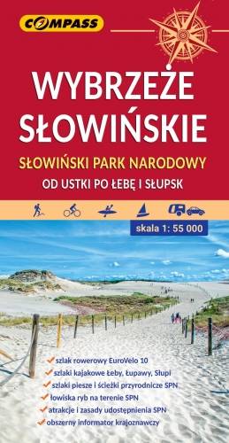
Mapa przedstawia ciekawy, a przy tym niezwykle popularny odcinek polskiego wybrzeża – od Ustki po Łebę. Zasięg mapy na południu wyznaczają: Słupsk i Potęgowo.
Jest to teren atrakcyjny nie tylko pod względem wypoczynkowym. Piękne plaże, w tym słynne klify w Dębinie, imponujące wydmy Słowińskiego Parku Narodowego, spuścizna po dawnych mieszkańcach prezentowana w skansenach i cała masa innych atrakcji, przyciągają w ten rejon nie tylko tłumy plażowiczów, ale i miłośników aktywnego wypoczynku połączonego ze zwiedzaniem. Bogata sieć szlaków turystycznych zachęca do aktywnego zwiedzania. Region ten upodobali sobie zwłaszcza rowerzyści.
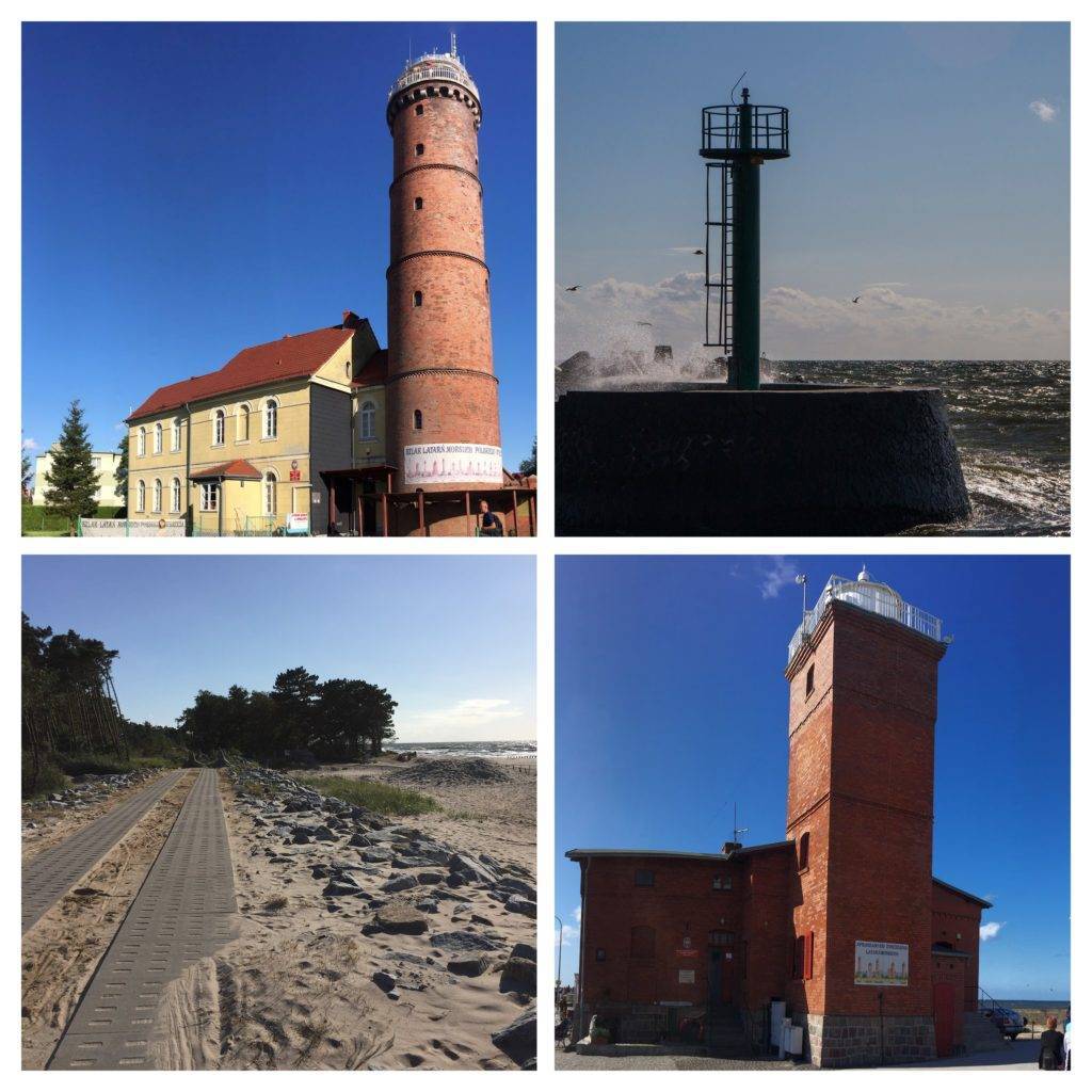
Na mapie przedstawiono: gęstą sieć szlaków turystycznych, porty i przystanie statków białej floty, fortyfikacje nadmorskie, latarnie morskie i pozostałe atrakcje turystyczne. Jest także wybrana baza noclegowa i gastronomiczna. Z praktycznych ciekawostek - dodano numery wejść na plaże.
Przebieg szlaków, jak i pozostała infrastruktura turystyczna zostały gruntownie sprawdzone podczas weryfikacji terenowej. Szczególnej uwadze polecamy międzynarodową trasę rowerową Eurovelo 10 - na mapie zaznaczono jej dotychczasowy, przeznaczony do likwidacji przebieg, jak również ten planowany.
Na rewersie mapy znajduje się informator krajoznawczy z licznymi zdjęciami.
Rok wydania: 2021