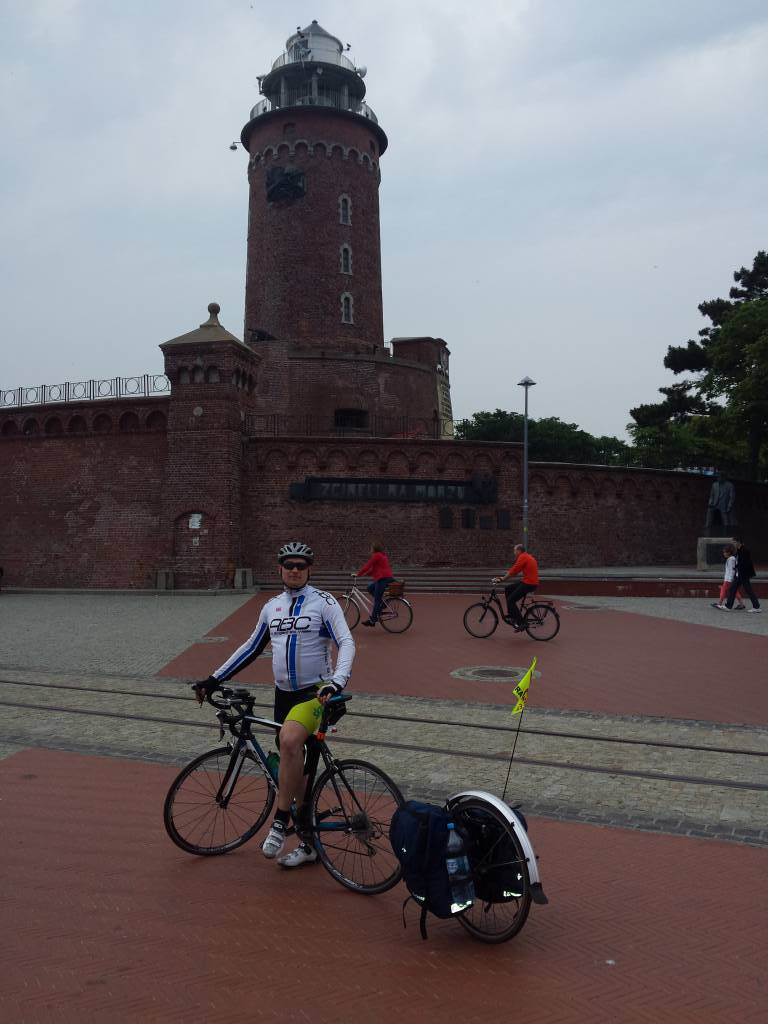
category-icon

Świnujście Mielno

172 km
12 h 15 min
1036 m
1048 m
Śwoujście

Charakterystyka trasy
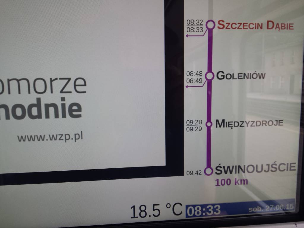
2015-06-27
Śwoujście
category-icon
172 km
1036 m
1048 m
12 h 15 min
4.1/6
Trasa wzdłuż wybrzeża. Cały czas szosa.


Wybieraliśmy trasę aby dojechać wszędzie szosą. trasa mało ruchliwa, ale nie zawsze się udawało. Ciężko było wyjechać ze Świnoujścia bo trasa ruchliwa no ale później przepiękne tereny i drogi.

Zaliczone na trasie:

Międzyzdroje- aleja gwiazd

Dziwnów- fajny most rozkładany

Rewal- piękne miejsce i dobra zupka przy rondzie na wjeździe;)

Trzebiatów- expresem nic nie zauważyłem:)

Kołobrzeg- dużo by pisać ale w stronę Mielna piękna ścieżka wzdłuż morza.

Sarbinowo- tu sie pogubiliśmy trochę z kwaterą:) ale sie udało

Mielno - ZABAWA!!!do rana

Komentarze

NA TEJ TRASIE PRZYDA CI SIĘ MAPA Z NASZEJ APLIKACJI

Wolin Island
MAPA TURYSTYCZNA W APLIKACJI TRASEO
Wolin Island

Wolin is a name of the Polish island in the Baltic Sea, just off the Polish coast. Administratively the island belongs to the West Pomeranian Voivodeship in Poland. Most of the island consists of forests and postglacial hills. In the middle is the Wolin National Park. The island is a main tourist attraction of northwestern Poland, and it is crossed by several specially marked tourist trails.

Koszalin Baltic Coast
MAPA TURYSTYCZNA W APLIKACJI TRASEO
Koszalin Baltic Coast

The map presents the area of Baltic coast near Koszalin, in the Western Pomeranian Voivodeship. The map range: Gąski to the west, Darłowo to the east. Tourist attractions, as well as cycling and walking trails are marked on the map.

Baltic Coast
MAPA TURYSTYCZNA W APLIKACJI TRASEO
Baltic Coast

The map covers the area of Polish Baltic coast from Kamień Pomorski to Kołobrzeg, it presents also part of the Kamieński Lagoon. Tourist attractions, walking and cycling trails are marked on the map.