Route characteristics
2011-04-25
Polska, podkarpackie, Brzyska
51 km
336 m
347 m
1.0/6
Comments
NA TYCH TRASACH PRZYDA CI SIĘ MAPOPRZEWODNIK LUB MAPA Z NASZEJ APLIKACJI
TOURIST MAP IN THE TRASEO APP
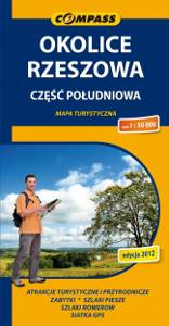
Rzeszów Region. South Part
The map depicts the central part of Podkarpackie Voivodeship in Poland, south from Rzeszow. The map range: Rzeszów to the north, Ropczyce and Krosno to the west, Brzozów to the south, Przeworsk to the east. The map covers also Pogórze Strzyżowskie (The Strzyżów Piedmont), Pogórze Dynowskie (The Dynów Piedmont) and part of Pogórze Przemyskie (The Przemyśl Piedmont). This is still a relatively unknown region among tourists.
TOURIST MAP IN THE TRASEO APP
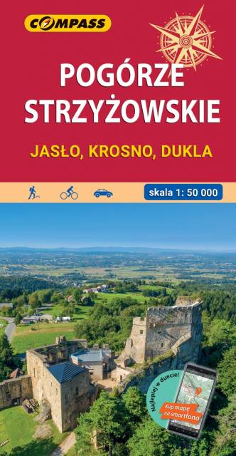
Strzyżów Piedmont. The area of Jasło and Krosno
Pogórze Strzyżowskie (The Strzyżów Piedmont) is part of the Central Beskidian Piedmont, a set of mountain ranges of the Outer Eastern Carpathians, in far southeastern Poland. The map range: Pilzno and Skołyszyn to the west, Dębica and Sędziszów Małopolski to the north, Czudec and Besko to the east, Dukla and Rymanów to the south.