

olaporebska1234olaporebska1234
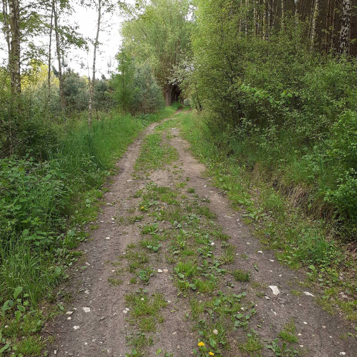
Charakterystyka trasy
2021-05-21
Polska, świętokrzyskie, Staniowice

Długość trasy:
3.6 kmSuma przewyższeń:
962 mSuma spadków:
974 mŚredni czas potrzebny na pokonanie trasy:
3 h 7 minOcena trasy:
2.9/6Komentarze
NA TYCH TRASACH PRZYDA CI SIĘ MAPOPRZEWODNIK LUB MAPA Z NASZEJ APLIKACJI
MAPA TURYSTYCZNA W APLIKACJI TRASEO
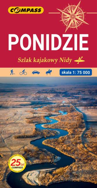
Ponidzie
Mapa Ponidzia przedstawia region położony w województwie świętokrzyskim nad dolną i środkową Nidą. Zasięg mapy wyznaczają: od północy - Chęciny; od południa - Proszowice; od zachodu - Jędrzejów i od wschodu - Staszów. Wzdłuż Nidy leżą najstarsze miasta regionu: Chęciny, Pińczów, Wiślica i Nowy Korczyn. Doskonałe warunki do wypoczynku oraz uprawiania sportów wodnych daje utworzony na rzece Czarnej Staszowskiej zbiornik Chańcza. Rok wydania: 2024