


Maryjanojedrula77
Charakterystyka trasy
2014-04-02
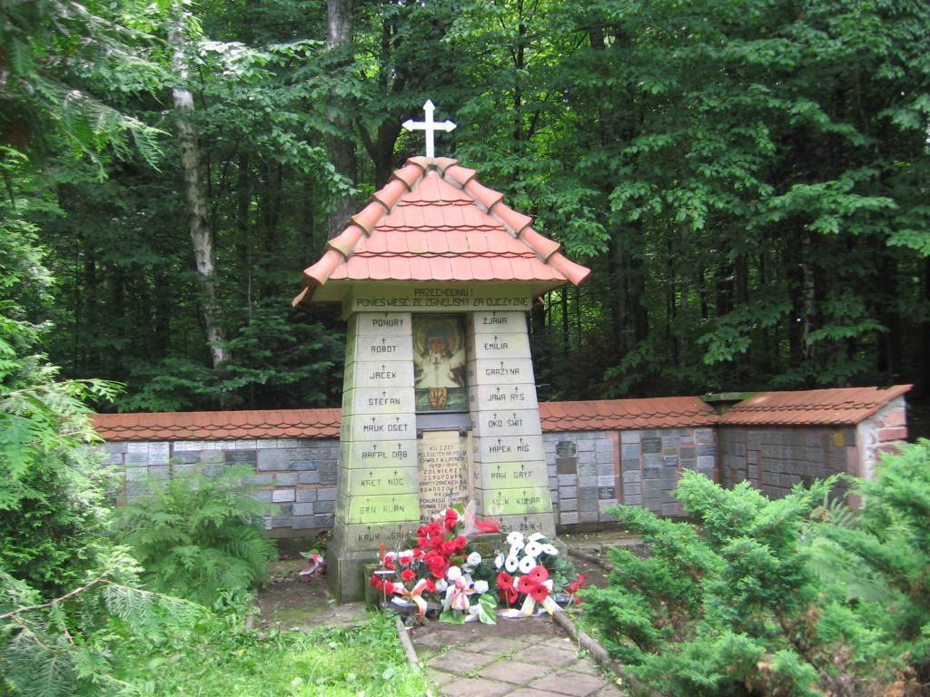
Skarżysko-Kamienna

Długość trasy:
47 kmSuma przewyższeń:
413 mSuma spadków:
419 mŚredni czas potrzebny na pokonanie trasy:
5 h 21 minOcena trasy:
5.1/6Komentarze
NA TYCH TRASACH PRZYDA CI SIĘ MAPOPRZEWODNIK LUB MAPA Z NASZEJ APLIKACJI
MAPA TURYSTYCZNA W APLIKACJI TRASEO
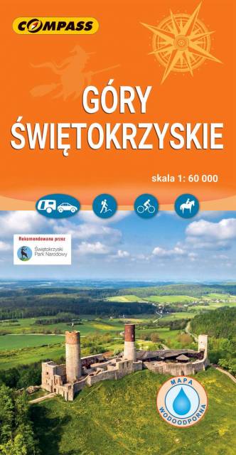
Góry Świętokrzyskie
Mapa turystyczna "Góry Świętokrzyskie" przedstawia całość masywu, położonego w centralnej części Wyżyny Kieleckiej. Niezbyt wymagający teren sprawia, że jego ścieżki przemierzać mogą także mniej doświadczeni turyści. Obszar przedstawiony na mapie zamyka się w granicach: Końskie na północy, Raków na południu, Ostrowiec Świętokrzyski na wschodzie, Dobrzeszów na zachodzie. Rok wydania 2023