


Charakterystyka trasy

Komentarze
NA TYCH TRASACH PRZYDA CI SIĘ MAPOPRZEWODNIK LUB MAPA Z NASZEJ APLIKACJI
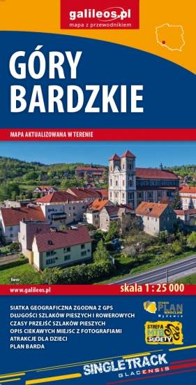
Mapa obejmuje obszar Gór Bardzkich z miastami: Bardo, Kłodzko, Ząbkowice Śląskie oraz Srebrna Góra. Dzięki dokładnej skali 1:25 000 wszystkie szlaki piesze i rowerowe mają podane długości oraz czas przejścia szlaków pieszych. Na mapie znajdują się również informacje praktyczne i turystyczne przydatne turystom: zabytki, noclegi, punkty gastronomiczna, granice obszarów chronionych i rezerwatów. Ciekawe obiekty wyróżniono kolorem żółtym. Mapa przygotowana tylko dla urządzeń cyfrowych – brak dostępnej wersji papierowej.
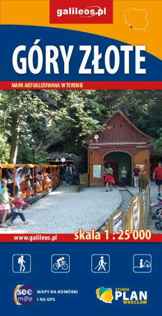
Szczegółowa mapa turystyczna Gór Złotych z uwzględnieniem atrakcji, zabytków, noclegów, gastronomii oraz innych miejsc przydatnych turyście. Zawiera wszystkie znakowane szlaki turystyczne piesze, rowerowe, ścieżki dydaktyczne wraz z kilometrażem. Obejmuje swym zasięgiem pasmo Gór Złotych oraz takie miejscowości jak Paczków, Javornik, Złoty Stok, Lądek Zdrój, Stronie Śląskie.
Rok wydania: 2018
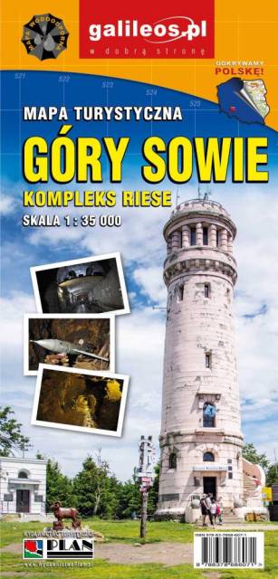
Mapa Gór Sowich Wydawnictwa Galileos z aktualnym przebiegiem szlaków turystycznych, zarówno pieszych jak i rowerowych. Wraz z czasem przejść. Zasięg mapy na północy wyznacza Świdnica, na wschodzie Bielawa, na południu Srebrna Góra i Nowa Ruda, na zachodzie Jedlina Zdrój. Rok wydania 2020

Mapa turystyczna "Góry Sowie" zamknięta jest przez: Wałbrzych na północnym-zachodzie, Broumov na zachodzie, Radków na południu, Srebrna Góra na południowym-wschodzie. Prawdziwą osobliwością tego obszaru są podziemne obiekty militarne. Jest to atrakcyjny teren na piesze i rowerowe wycieczki. Są tu dobre warunki dla miłośników MTB, narciarstwa zjazdowego i biegowego, jazdy konnej. Na mapie oznaczono szlaki turystyczne: piesze i rowerowe. Rok wydania 2024
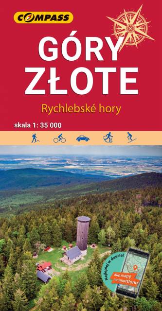
Mapa "Góry Złote" zawiera przebieg tras turystycznych pieszych i rowerowych, aktualizowany w terenie. Mapa obejmuje swym zasięgiem obszar od Paczkowa do Jeseníka (na osi płn. - płd.) oraz od Oldrzychowic Kłodzkich do Jarnołtowa (na osi wsch.-zach.) z zaznaczonymi ciągami komunikacyjnymi, szlakami turystycznymi, pieszymi i rowerowymi z wyznaczonymi odległościami i czasami przejść. Rok wydania 2022
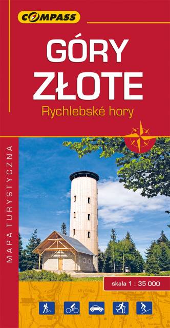
Mapa Góry Złote obejmuje jedno z najdłuższych pasm górskich w środkowej części Sudetów Wschodnich ciągnące się szerokim łukiem długości ok. 40 km od Przeł. Kłodzkiej (489 m n.p.m.) na północnym zachodzie do Przeł. U Trzech Granic (1111 m n.p.m.) na południowym wschodzie. Nazwa pasma nawiązuje do złota wydobywanego przed wiekami w tych górach. Grzbietem Gór Złotych na dł. ok. 32 km wiedzie granica państwowa i po czeskiej stronie przyjmują nazwę Rychlebskich hor (od ruin zamku Rychleby). Zasięg mapy wyznaczają: Złoty Stok i Paczków na północy, Trzebieszowice na zachodzie, Jesenik na południu i Sławnowice na wschodzie.
Na turystów czeka tu sieć pieszych szlaków górskich, które prowadzą ku najatrakcyjniejszym miejscom, jakimi są grzbiety i szczyty górskie, przełęcze, miejsca widokowe, doliny, potoki i rzeki górskie. W okolicach Złotego Stoku, Lądka Zdroju i Stronia Śląskiego wytyczono wiele atrakcyjnych tras spacerowych i rowerowych. Rok wydania 2022