

BeskidnickBeskidnick
Charakterystyka trasy
2024-05-01
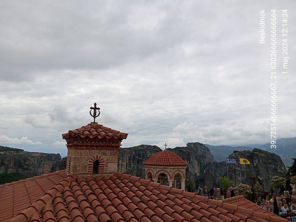
Meteory

Długość trasy:
1.3 kmSuma przewyższeń:
28 mSuma spadków:
33 mŚredni czas potrzebny na pokonanie trasy:
1 h 40 minOcena trasy:
3.0/6Komentarze
NA TYCH TRASACH PRZYDA CI SIĘ MAPOPRZEWODNIK LUB MAPA Z NASZEJ APLIKACJI
MAPA TURYSTYCZNA W APLIKACJI TRASEO
Metéora
A monument of World Natural and Cultural Heritage of UNESCO, Meteora is a unique landscape of rocky spines and the second largest monastic complex in Greece. The name "Meteora" is attributed to the founder of the monastery of Megalo Meteoron, Saint Athanasios, who named "Mateoron" the rock spire that he climbed in 1344. However the first hermits had settled on the vertical rocks before the 11th c. In the heyday of Meteora, from the late 15th c and especially in the 16th-17 th c were 24 monasteries. Today six monasteries are inhabited and open to public.
To experience the magic of Meteora one should follow the hiking trails. The proposed trails (marked with a number in a green circle) are obvious and maintained.

MAPA TURYSTYCZNA W APLIKACJI TRASEO
Southern Pindus: Mts Koziakas. Avgho. Trigia. Neraidha. Chadzi
The digital hiking map of Southern Pindus (eastern part) in Greece covers the mountains Koziakas, Avgo, Trigia, Chatzi, Loupata, Marosa, Neraida, Morava, Kap Gras, Kokkinolaka and reaches the northern Agrafa peaks, Karavoula and Karava.