


kryst1
PRO
kryst1Charakterystyka trasy
2015-01-06
Polska, śląskie

Długość trasy:
8.2 kmSuma przewyższeń:
219 mSuma spadków:
213 mŚredni czas potrzebny na pokonanie trasy:
1 h 48 minOcena trasy:
1.3/6Komentarze
NA TYCH TRASACH PRZYDA CI SIĘ MAPOPRZEWODNIK LUB MAPA Z NASZEJ APLIKACJI
MAPA TURYSTYCZNA W APLIKACJI TRASEO
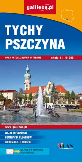
Area of Tychy and Pszczyna
The map range: Oświęcim to the east, Żory to the west, Goczałkowickie Lake to the south. The map presents information useful for tourists, walking and cycling trails, tourist attractions. The most interesting places are highlighted with a yellow frame.