


Charakterystyka trasy

Komentarze
NA TYCH TRASACH PRZYDA CI SIĘ MAPOPRZEWODNIK LUB MAPA Z NASZEJ APLIKACJI
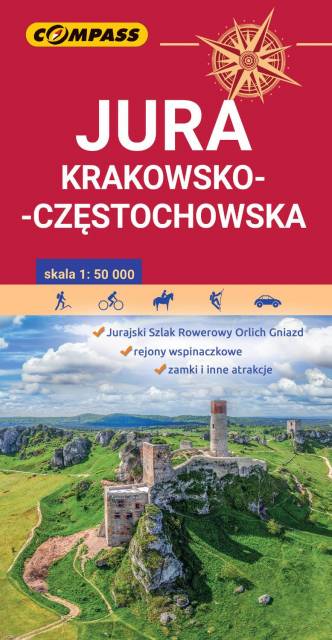
Jura Krakowsko-Częstochowska to wyjątkowy i niepowtarzalny region w naszym kraju. Może poszczycić się ogromną liczbą różnorodnych skał i ostańców, oplecionych siecią dróg wspinaczkowych. Jej podziemny świat tworzą tysiące jaskiń oraz grot. Ukształtowanie terenu z wąwozami, płaskowyżami i łagodnymi wzgórzami, bogactwo zabytków oraz zagospodarowanie korzystnie wpływają na rozwój turystyki. Niezmiernie istotna jest gęsta sieć szlaków turystycznych, które umożliwiają dogodne dotarcie do wszystkich najciekawszych zakątków. Nie brakuje tu licznych stadnin i ośrodków jeździeckich, umożliwiających uprawianie turystyki konnej.
Mapa Jury Krakowsko-Częstochowskiej łączy Kraków z Częstochową a jej zasięg wyznaczają: Mstów na północy, Częstochowa i Trzebinia na zachodzie, Siewierz i Alwernia na południu oraz Kraków na wschodzie. Rok wydania 2024