Jez. Sławskie - Rzeka Obrzyca - Jez. rudno - Południowy Kanał Obry i grupa jezior Męcko-Wieleńskich (dołączanie do Szlaku Konwaliowego) -
dł. 50 km.
Sława - Rzek Obrzyca - Jez. Rudno - dalej Obrzycą do Odry - dł. 60km
Trasę polecaLubuska Regionalna Organizacja Turystyczna
Komentarze
NA TYCH TRASACH PRZYDA CI
SIĘ MAPOPRZEWODNIK LUB MAPA Z NASZEJ APLIKACJI
MAPA TURYSTYCZNA W APLIKACJI TRASEO
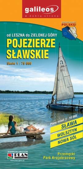
Pojezierze Sławskie
Turystyczna mapa Pojezierza Sławskiego z aktualnymi szlakami pieszymi, rowerowymi i kajakowymi. Obszar mapy zawiera się pomiędzy Zieloną Górą a Lesznem obejmując obszar m.in. Przemęckiego Parku Krajobrazowego.
MAPA TURYSTYCZNA W APLIKACJI TRASEO
Ziemia Lubuska
Mapa krajoznawcza województwa lubuskiego z wyszczególnionymi atrakcjami turystycznymi. Na mapie umieszczono grafiki atrakcji turystycznych.