


Charakterystyka trasy

Komentarze
NA TYCH TRASACH PRZYDA CI SIĘ MAPOPRZEWODNIK LUB MAPA Z NASZEJ APLIKACJI
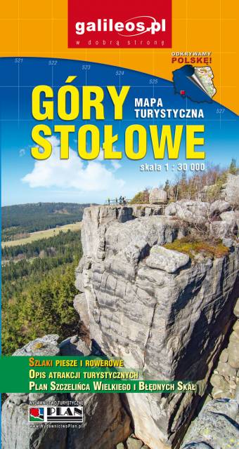
Mapa turystyczna Gór Stołowych w skali 1:30 000, zaktualizowana w terenie. Na mapie oznaczono czasy przejść. Znajdziemy tu szlaki turystyczne, rowerowe i piesze oraz najważniejsze informacje o charakterze turystycznym, a także informacje praktyczne. Rok wydania 2021
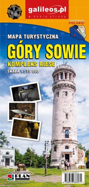
Mapa Gór Sowich Wydawnictwa Galileos z aktualnym przebiegiem szlaków turystycznych, zarówno pieszych jak i rowerowych. Wraz z czasem przejść. Zasięg mapy na północy wyznacza Świdnica, na wschodzie Bielawa, na południu Srebrna Góra i Nowa Ruda, na zachodzie Jedlina Zdrój. Rok wydania 2020

Mapa turystyczna "Góry Sowie" zamknięta jest przez: Wałbrzych na północnym-zachodzie, Broumov na zachodzie, Radków na południu, Srebrna Góra na południowym-wschodzie. Prawdziwą osobliwością tego obszaru są podziemne obiekty militarne. Jest to atrakcyjny teren na piesze i rowerowe wycieczki. Są tu dobre warunki dla miłośników MTB, narciarstwa zjazdowego i biegowego, jazdy konnej. Na mapie oznaczono szlaki turystyczne: piesze i rowerowe. Rok wydania 2024
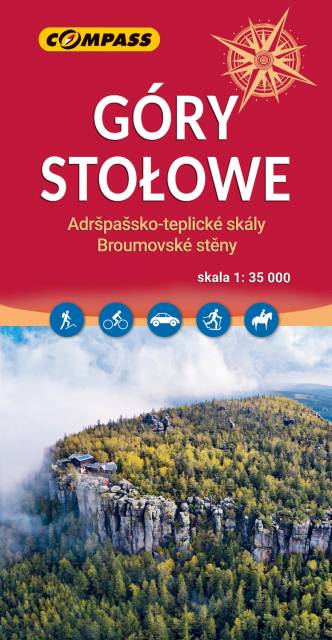
Mapa turystyczna Gór Stołowych przedstawia niezwykle malowniczy zakątek SUdetów. Góry Stołowe położone są w Sudetach Środkowych, na styku z Sudetami Wschodnimi. Mapa przedstawia obszar zamknięty na zachodzie przez czeski Hronov, na południu Duszniki-Zdrój, na wschodzie Szalejów Górny oraz na północy Police. Na mapie również czeskie Góry Stołowe: Adršpašsko-teplické skály i Broumovské stěny. Rok wydania 2023
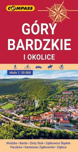
Mapa przedstawia najdalej na wschód wysunięte pasmo górskie w Sudetach Środkowych, a także dodatkowo część Gór Sowich i Gór Złotych. Zasięg mapy wyznaczają: Ząbkowice Śląskie na północy, Ołdrzychowice Kłodzkie i Złoty Stok na południu, Wolibórz na zachodzie i Paczków na wschodzie. Na mapie znalazły się także plany miast: Kłodzko centrum, Bardo, Złoty Stok, Ząbkowice Śląskie, Paczków, Kamieniec Ząbkowicki, Ziębice. Na mapie zastosowano cieniowanie w celu uzyskania wrażenia plastyczności rzeźby terenu. Mapę offline można zakupić w aplikacji Traseo na urządzenia mobilne. Rok wydania 2021

Mapa przedstawia zbiór 26 górskich tras Strefy MTB Sudety, w tym tras singletrack, enduro i torów pumptrack, wiodących po terenach Gór Sowich, Suchych oraz Kamiennych. Dodatkowo na mapie zaznaczono punkty dostępu do tras Strefy, serwisy i myjnie rowerowe oraz certyfikowane punkty noclegowe i gastronomiczne Strefy MTB.
Mapa tras rowerowych MTB swym zasięgiem obejmuje obszar od Boguszowa-Gorców na północnym zachodzie, po Bardo na południowym wschodzie. Ukształtowanie terenu pokazano przy pomocy warstwic o cięciu co 20 m.
Rok wydania: 2018