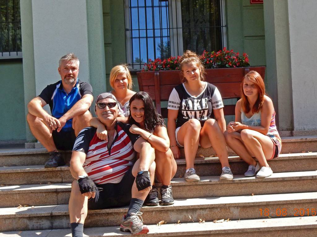
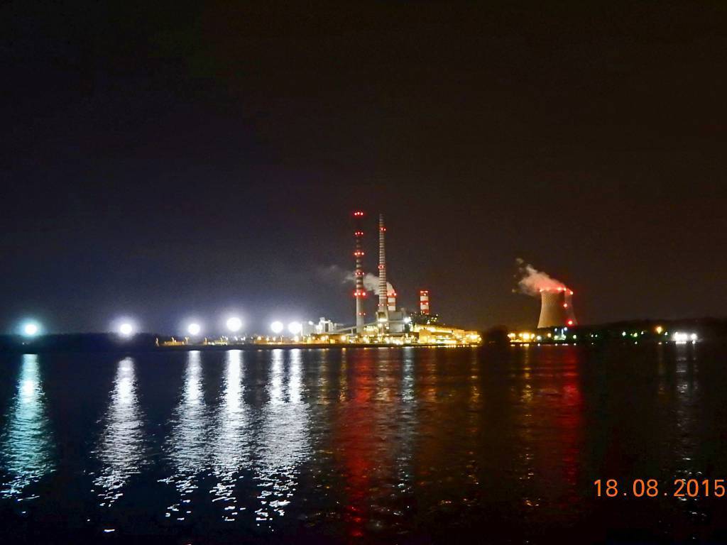
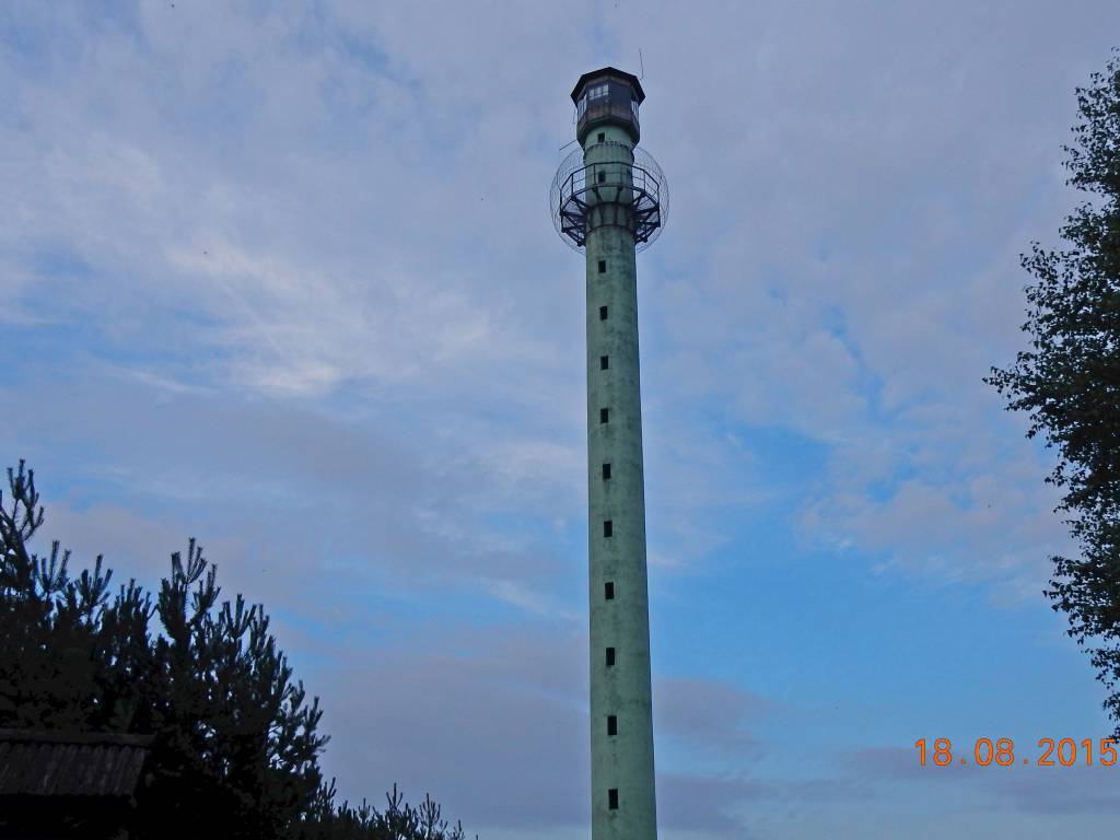
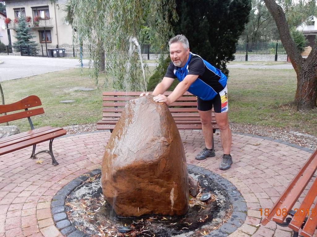
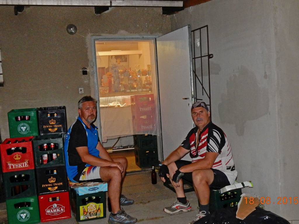
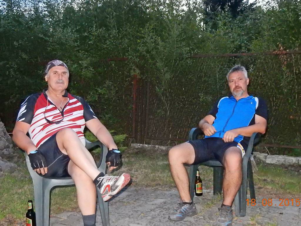
Do Krupskiego Młyna wybrałem się z kolegą by odwiedzić wnuczkę. Razem uzgodniliśmy trasę przejazdu celem ograniczenia jazdy po drogach głównych. Wyjazd z Rybnika o godz. 8.00. Trasa prowadziła przez: Rudy, Sierakowice, Rachowice, Bojszów, Kleszczów, Taciszów, Bycina, Paczyna, Pniów. Zacharzowice, Sieroty, Wielowieś, Raduń, Borowiany i Krupski Młyn (72km). Powrót przez: Radonia, Świbie, Sarnów, Toszek, Słupsko, Pławniowice, Rudziniec, Łącza, Goszyce, Rudy i Rybnik (78km). Całą drogę do celu i z powrotem towarzyszył nam przeciwny i dosyć silny wiatr, mimo tego dotarliśmy do Krupskiego Młyna o 13.00. Po spotkaniu z wnuczką ruszyliśmy z powrotem. Po drodze zwiedzaliśmy kościoły, dwory, muzea, zamki. Wszystko to opatrzone zdjęciami, co w znacznym stopniu spowolniło czas przejazdu. Do ciekawych obiektów zaliczyć można kościół w Rachowicach i Paczynie, Dwór w Wielowsi, hotel Dwór Prawdzica, Zamek w Toszku, Pałac w Pławniowicach i wiele innych. W sumie wyjazd udany, wnuczka ucieszona z wizyty i to właśnie było celem wyjazdu. Tu podziękowania dla kolegi Bogdana za pomoc w wyborze trasy i towarzystwo. Dziękuję! Więcej: https://www.janham.cba.pl/index.php/wyjazdy/rok-2015/sierpien-2015
Komentarze
NA TYCH TRASACH PRZYDA CI
SIĘ MAPOPRZEWODNIK LUB MAPA Z NASZEJ APLIKACJI
MAPA TURYSTYCZNA W APLIKACJI TRASEO
Area of Tychy and Pszczyna
The map range: Oświęcim to the east, Żory to the west, Goczałkowickie Lake to the south. The map presents information useful for tourists, walking and cycling trails, tourist attractions. The most interesting places are highlighted with a yellow frame.
MAPA TURYSTYCZNA W APLIKACJI TRASEO
Gliwice Area
The map covers part of the Silesian Voivodeship in southern Poland: Gliwice city and its surroundings. Lot of information useful for tourists is marked on the map: monuments, accomodation facilities, protected areas, cycling and walking trails. The most interesting places are highlighted with a yellow frame.
MAPA TURYSTYCZNA W APLIKACJI TRASEO
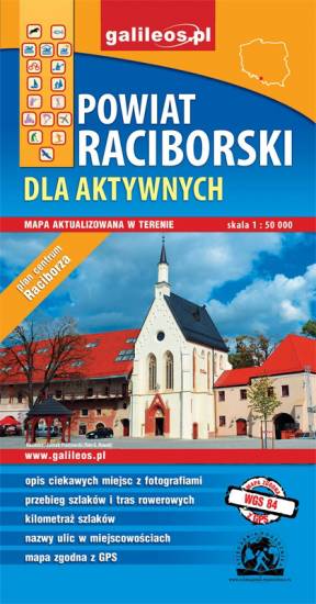
Racibórz County
The map presents the Racibórz County in the Upper Silesia region, Poland. It is comprised of five municipalities: Racibórz, Kornowac, Nędza, Kuźnia Raciborska, Rudnik, Pietrowice Wielkie, Krzanowice, Krzyżanowice. The most interesting places are highlighted with a yellow frame. Cycling, walking and didactic trails are marked on the map.
MAPA TURYSTYCZNA W APLIKACJI TRASEO
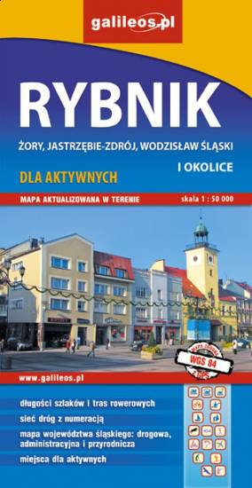
Rybnik Region
The map range: Żory in Poland to the east, Karviná in Czech Republic to the south, Wodzisław Śląski (Poland) and Ostrava suburbs (Czech Republic) to the west, and Gliwice suburbs (Poland) to the north. Tourist attractions, cycling and walking trails, boundaries of protected areas, as well as accomodation facilities are marked on the map.
MAPA TURYSTYCZNA W APLIKACJI TRASEO
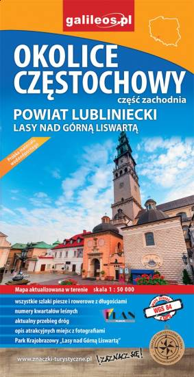
Częstochowa Region
The map covers west suburbs of Częstochowa, Upper Liswarta Forests Landscape Park and Lubliniec County. Tourist attracions, cycling and walking trails, as well as protected areas and natural monuments are marked on the map.
MAPA TURYSTYCZNA W APLIKACJI TRASEO
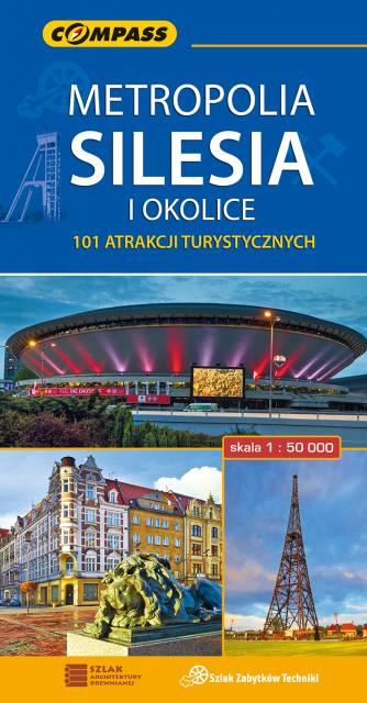
Upper Silesian Metropolitan Area
The map in detailed scale presents part of Upper Silesia - historical and geographical region situated in southern Poland. The Upper Silesian metropolitan area lies within the Upper Silesian Coal Basin. It is characterized by a rich tradition of folklore, many industrial monuments, and some green areas. Cycling, walking and didactic trails are marked on the map, as well as other interesting information, e.g. historical borders of Polnad - from 1914 and 1939. The map range: Tarnowskie Góry to the north, Tychy to the south, Gliwice to the west and Jaworzno to the east.