


Charakterystyka trasy

Komentarze
NA TYCH TRASACH PRZYDA CI SIĘ MAPOPRZEWODNIK LUB MAPA Z NASZEJ APLIKACJI
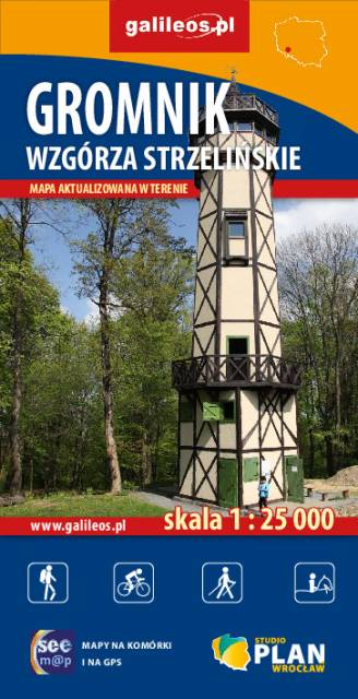
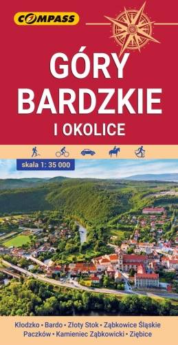
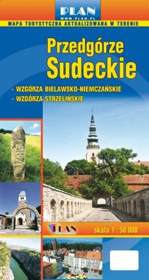
Mapa przedstawia najdalej na wschód wysunięte pasmo górskie w Sudetach Środkowych, a także dodatkowo część Gór Sowich i Gór Złotych. Zasięg mapy wyznaczają: Ząbkowice Śląskie na północy, Ołdrzychowice Kłodzkie i Złoty Stok na południu, Wolibórz na zachodzie i Paczków na wschodzie. Na mapie znalazły się także plany miast: Kłodzko centrum, Bardo, Złoty Stok, Ząbkowice Śląskie, Paczków, Kamieniec Ząbkowicki, Ziębice. Na mapie zastosowano cieniowanie w celu uzyskania wrażenia plastyczności rzeźby terenu. Mapę offline można zakupić w aplikacji Traseo na urządzenia mobilne. Rok wydania 2021
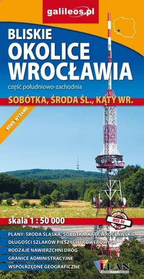
Map in detailed scale range: Wrocław city center to the east, Środa Śląska to the west, Słupice, Kełczyn, Oleszna and Radzików to the south, Ligota Piękna, Gosławice and Brodno to the north. A lot of information useful for tourists is marked on the map: monuments, accomodation facilities, protected areas, cycling and walking trails, as well as street names and the type of road surface.
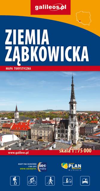
The map covers: from Kłodzko to Nysa, north to Strzelin and Dzierżoniów. It contains crucial information for any tourist, including the location of monuments, accommodation facilities, all hiking trails, educational paths, bicycle routes, and the recently fashionable Singletracks. Their lengths are given for easy reading. The map is described on a WGS 84 grid, compatible with Polish navigation systems.
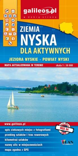
The map covers part of the Lower Silesian Voivodeship in Poland: the area of Nysa city and surrounding municipalities. Lot of information useful for tourists is marked on the map: monuments, accomodation facilities, protected areas, cycling, walking, and canoeing trails. The most interesting places are highlighted with a yellow frame.