
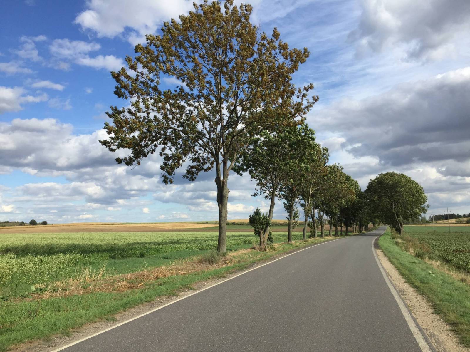


Charakterystyka trasy

Komentarze
NA TYCH TRASACH PRZYDA CI SIĘ MAPOPRZEWODNIK LUB MAPA Z NASZEJ APLIKACJI
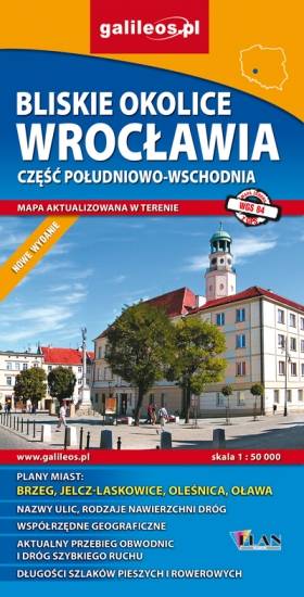
Mapa Wrocławia i okolic na zachodzie sięga po centrum Wrocławia, na wschodzie do Brzegu, południowa granica określona jest przez Wiązów, północna przez Oleśnicę. Jest to obszar ograniczony współrzędnymi 17°04’ - 17°30’ długości geograficznej wschodniej oraz 50°49’-51°14’ szerokości geograficznej północnej. Mapa aktualizowana w terenie, zawiera długości szlaków pieszych i rowerowych, nazwy ulic, rodzaje nawierzchni dróg, zabytki. Tak dokładnej mapy turystycznej tego obszaru jeszcze nie było!

Mapa przedstawia zbiór 26 górskich tras Strefy MTB Sudety, w tym tras singletrack, enduro i torów pumptrack, wiodących po terenach Gór Sowich, Suchych oraz Kamiennych. Dodatkowo na mapie zaznaczono punkty dostępu do tras Strefy, serwisy i myjnie rowerowe oraz certyfikowane punkty noclegowe i gastronomiczne Strefy MTB.
Mapa tras rowerowych MTB swym zasięgiem obejmuje obszar od Boguszowa-Gorców na północnym zachodzie, po Bardo na południowym wschodzie. Ukształtowanie terenu pokazano przy pomocy warstwic o cięciu co 20 m.
Rok wydania: 2018
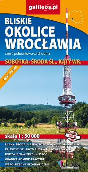
Mapa Wrocławia i okolic na wschodzie sięga po centrum Wrocławia, na zachodzie do Środy Śląskiej, południowa granica określona jest przez wsie Słupice, Kełczyn, Oleszna, Radzików, północna przez Ligotę Piękną, Gosławice i Brodno. Jest to obszar ograniczony współrzędnymi 16°33’ - 17°01’ długości geograficznej wschodniej oraz 50°49’-51°14’ szerokości geograficznej północnej. Mapa obejmuje swym zasięgiem Park Krajobrazowy Doliny Bystrzycy, Ślężański Park Krajobrazowy oraz Zbiornik Mietkowski. Mapa aktualizowana w terenie, zawiera długości szlaków pieszych i rowerowych, nazwy ulic, rodzaje nawierzchni dróg, zabytki. Tak dokładnej mapy turystycznej tego obszaru jeszcze nie było!

Na mapie Przedgórza Sudeckiego zaznaczono informacje przydatne turyście, jak zabytki, noclegi, granice obszarów chronionych. W miejscowościach opisano nazwy ulic. Podano aktualne przebiegi szlaków pieszych, rowerowych, narciarskich i konnych, łącznie z kilometrażem, co pozwoli łatwiej zaplanować wycieczkę. Przy szlakach pieszych podano także orientacyjny czas przejścia. Zaznaczono wyciągi narciarskie i trasy zjazdowe. Ukształtowanie terenu pokazano przy pomocy warstwic o cięciu co 20 m.