Trasy
Mapy turystyczne
PRO
Trasy
Mapy turystyczne
PRO
Trasy turystyczne
Trasy na rower szosowy
Rower
Rower
29 km
31 m
32 m
KONIN
K.M.
kolegiata001
1.0/6
Charakterystyka trasy
2019-07-24
KONIN
Długość trasy:
29 km
Suma przewyższeń:
31 m
Suma spadków:
32 m
Ocena trasy:
1.0/6
Więcej
Mniej
Komentarze
NA TYCH TRASACH PRZYDA CI SIĘ MAPOPRZEWODNIK LUB MAPA Z NASZEJ APLIKACJI
MAPA TURYSTYCZNA W APLIKACJI TRASEO
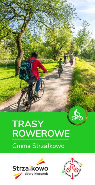
Gmina Strzałkowo. Mapa tras rowerowych
Gmina Strzałkowo. Mapa tras rowerowych
Miejscowości na trasie
Konin