Andrzej Pakułapan.andrzej.pakula
Charakterystyka trasy
2022-06-12

Długość trasy:
432 kmSuma przewyższeń:
4272 mSuma spadków:
3890 mŚredni czas potrzebny na pokonanie trasy:
10 h 59 minOcena trasy:
1.0/6Komentarze
NA TYCH TRASACH PRZYDA CI SIĘ MAPOPRZEWODNIK LUB MAPA Z NASZEJ APLIKACJI
MAPA TURYSTYCZNA W APLIKACJI TRASEO
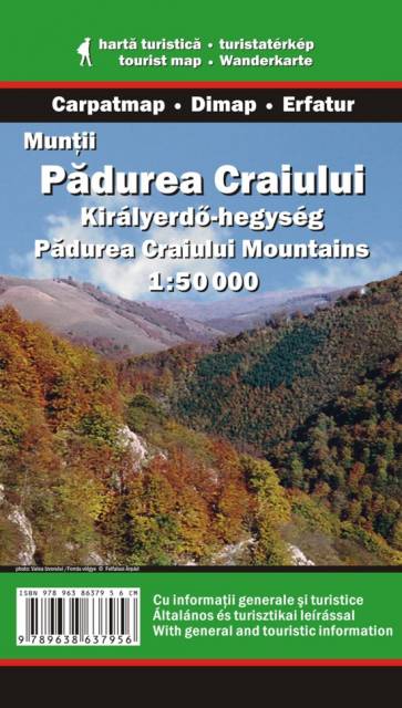
Pădurea Craiului
Pasmo Pădurea Craiului (rum. "Królewski Las") rozciąga się w zachodniej Rumunii, w Siedmiogrodzie i należy do grupy Gór Kereszu w Górach Zachodniorumuńskich (Apuseni). Najwyższym szczytem jest Hodrâncuşa - 1027 m n.p.m.
Uwaga! Mapa obarczona niewielkim błędem kalibracji - ok. 200 m przesunięcia w stosunku do podkładu google maps.
Uwaga! Mapa obarczona niewielkim błędem kalibracji - ok. 200 m przesunięcia w stosunku do podkładu google maps.
MAPA TURYSTYCZNA W APLIKACJI TRASEO
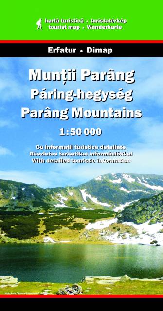
Góry Parâng
Parâng – drugie pod względem wysokości pasmo górskie Rumunii, położone w Karpatach Południowych. Odgraniczone jest na północy doliną Jiu de Vest od gór Şureanu, na wschodzie dolinami rzek Lotru i Olteţ od pasm Lotru i Căpăţânii, na zachodzie doliną Jiu od gór Retezat, od strony południowej opadają w stronę Niziny Wołoskiej.
Najwyższym szczytem gór Parâng jest Parângul Mare (2518 m n.p.m.).
MAPA TURYSTYCZNA W APLIKACJI TRASEO
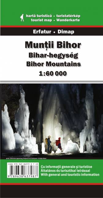
Góry Bihor
Mało popularne wśród turystów i wciąż jeszcze dzikie góry Bihor położone są w zachodniej Rumunii, w paśmie Apuseni. Turystom oferują nie tylko malownicze widoki i możliwości długich wędrówek w całkowitej samotności, ale też niespotykane nigdzie indziej w Karpatach na taką skalę zjawiska krasowe: jaskinie, wywierzyska, wąwozy, ściany skalne, studnie krasowe czy podziemne rzeki. Szczegółowa mapa wydawnictwa Erfatur obejmuje cały obszar tych gór, od linii miejscowości Beliş na północy, Buceş na południu, Abrud na wschód i Criştioru de Jos na zachód.