

Zbigniew Buraczewskizbigniew39
Charakterystyka trasy
2015-11-05

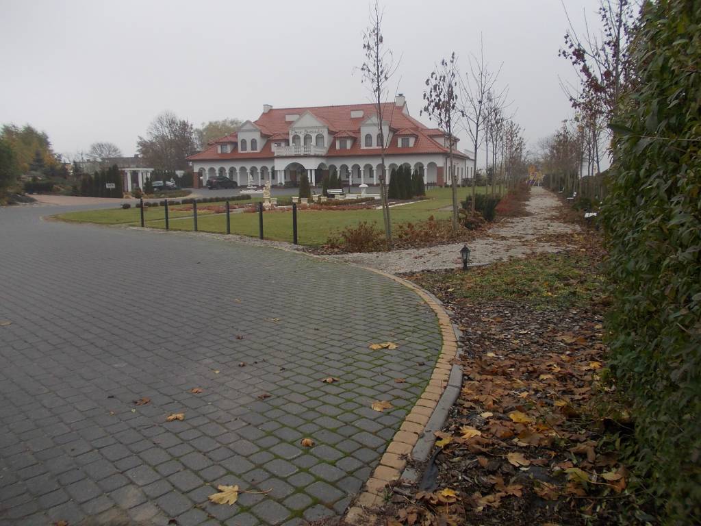
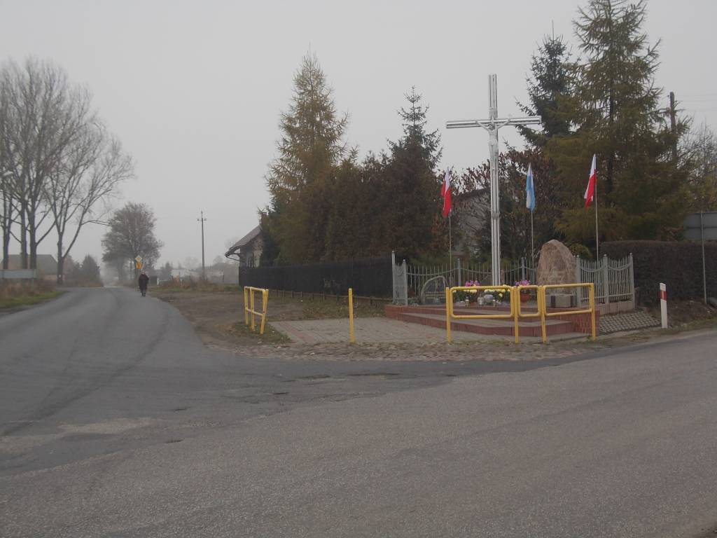
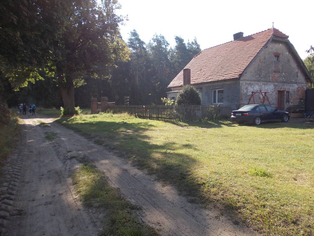
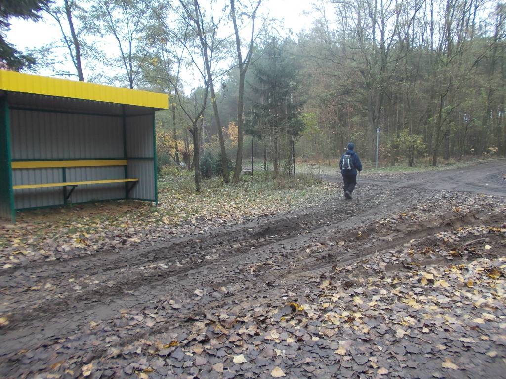
Długość trasy:
17 kmSuma przewyższeń:
329 mSuma spadków:
322 mŚredni czas potrzebny na pokonanie trasy:
5 hOcena trasy:
3.6/6Komentarze
NA TYCH TRASACH PRZYDA CI SIĘ MAPOPRZEWODNIK LUB MAPA Z NASZEJ APLIKACJI

MAPA TURYSTYCZNA W APLIKACJI TRASEO
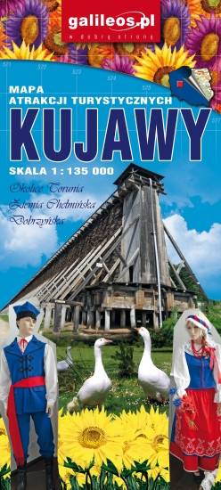
Ziemia Chelmińska - Kraina gotyku
Aktualizowana w terenie mapa krajoznawcza Ziemi Chełmińskiej. Na mapie zaznaczono w postaci ikon najważniejsze atrakcje turystyczne regionu. Mapa obejmuje swym zasięgiem Chełmno, Toruń, Chełmżę, Świecie, Grudziądz, Golub-Dobrzyń oraz Bydgoszcz. Rok wydania 2017
MAPA TURYSTYCZNA W APLIKACJI TRASEO
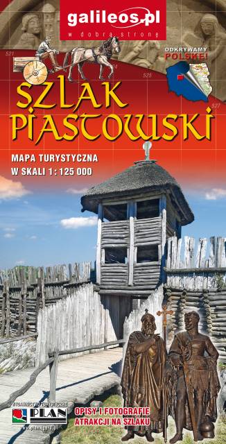
Szlak Piastowski
Mapa turystyczna Szlaku Piastowskiego, który przebiega przez województwa: wielkopolskie i kujawsko-pomorskie. Mapa została zaktualizowana w terenie, zostały na niej uwzględnione wszelkie niezbędne informacje turystyczno-krajoznawcze oraz informacje praktyczne. Rok Wydania 2017