


Krzysztof Zarębalagunatour
Charakterystyka trasy
2019-04-10
Ateny - Ateny

Długość trasy:
442 kmSuma przewyższeń:
0 mSuma spadków:
0 mOcena trasy:
1.4/6Komentarze
NA TYCH TRASACH PRZYDA CI SIĘ MAPOPRZEWODNIK LUB MAPA Z NASZEJ APLIKACJI
MAPA TURYSTYCZNA W APLIKACJI TRASEO
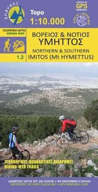
Northern and Southern Imitos
The digital hiking map of Southern Imitos extends between Ilioupoli, Argyroupoli, Glyfada, Voula and Koropi. Hiking and cycling routes are proposed and shown in detail. The mountain s points of interest such as caves, sinkholes and archaeological sites are pinpointed on the map.