
Charakterystyka trasy

Komentarze
NA TYCH TRASACH PRZYDA CI SIĘ MAPOPRZEWODNIK LUB MAPA Z NASZEJ APLIKACJI
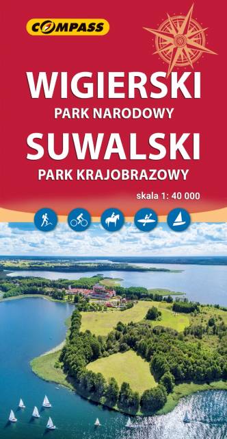
Mapa przedstawia najatrakcyjniejszy turystycznie fragment Suwalszczyzny, obejmujący Wigierski Park Narodowy i Suwalski Park Krajobrazowy. Zasięg mapy wyznaczają: Wiżajny na północy, Skajzgiry na zachodzie, Jezioro Blizno na południu oraz Pogorzelec na wschodzie.
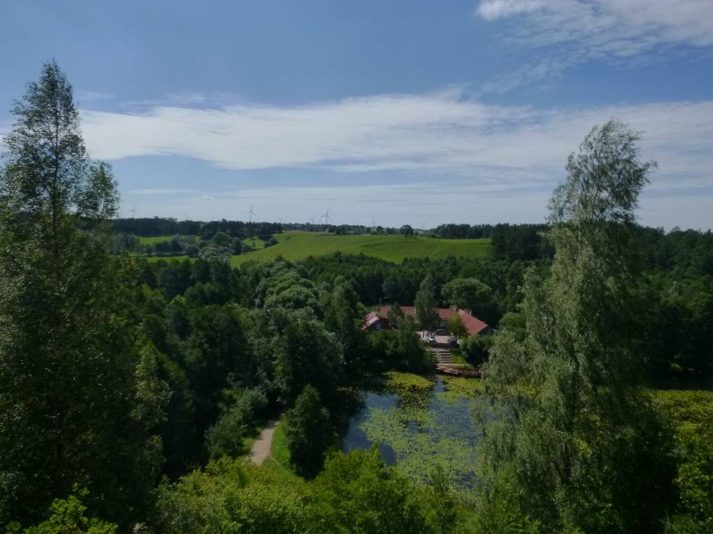
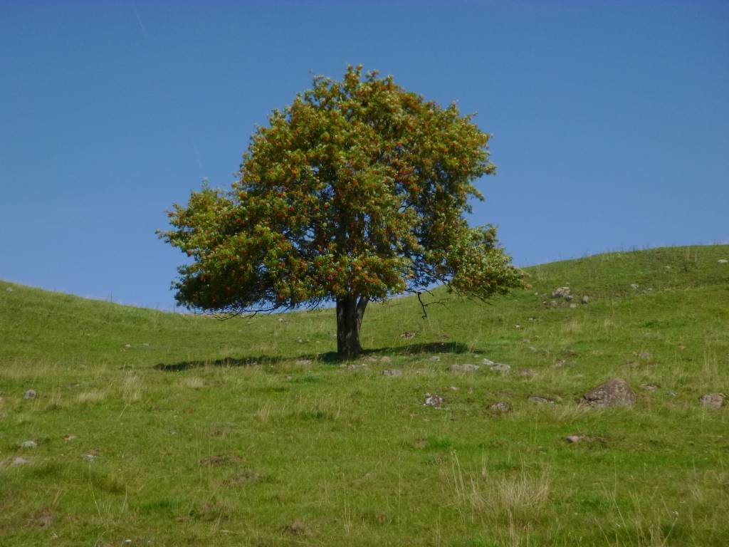
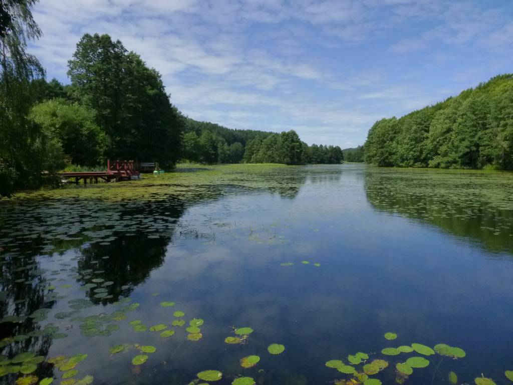
Jest to region o wyjątkowo urokliwych krajobrazach. Zawdzięczamy je ostatniemu zlodowaceniu, po którym topniejące masy lodu i polodowcowe wody ukształtowały morenowe wzniesienia porozdzielane głębokimi dolinami rzecznymi i jeziorami z największym jeziorem Suwalszczyzny – Wigrami i najgłębszym polskim jeziorem – Hańczą na czele. Polodowcową pamiątką są liczne, okazałe głazy tworzące głazowiska, przetransportowane tu ze Skandynawii. Uroku dodają rozległe kompleksy Puszczy Augustowskiej, okalającej większą część linii brzegowej Jeziora Wigry.
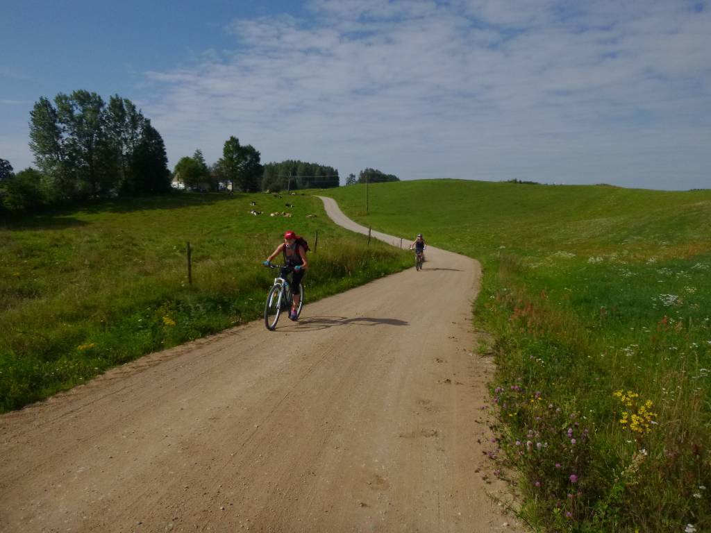
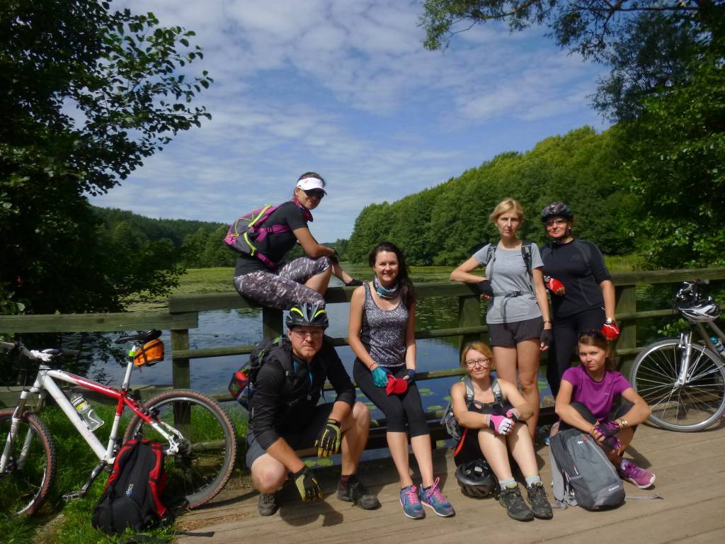
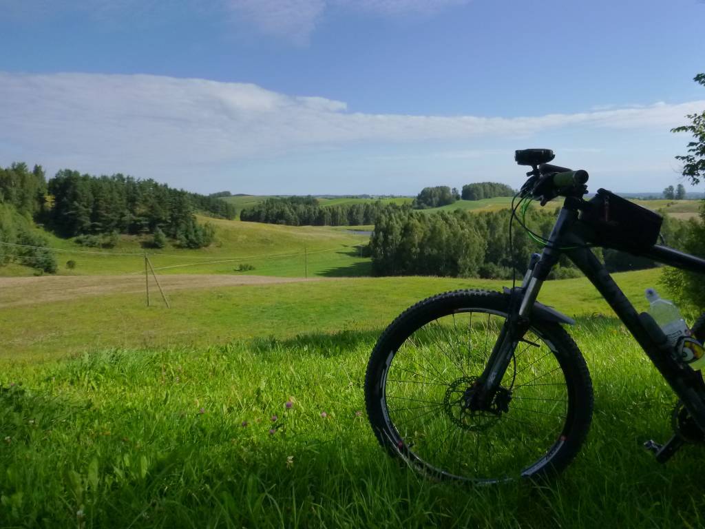
Obszar ten to idealne miejsce dla amatorów sportów wodnych. Dużą popularnością cieszą się spływy kajakowe Czarną Hańczą. Warto również wybrać się na spacery i wycieczki rowerowe po Wigierskim Parku Narodowym i Suwalskim Parku Krajobrazowym. Rok wydania 2023
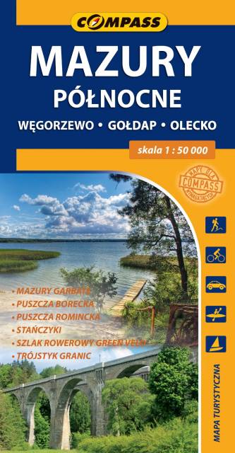
Mapa turystyczna "Mazury Północne" obejmuje przygraniczne tereny od Węgorzewa aż po trójstyk granic: Polski-Litwy-Rosji, a także fragment Mazur Garbatych sięgający poniżej Olecka. Zasięg mapy wyznaczają: granica polsko-rosyjska na północy, Węgorzewo na zachodzie, Kruklanki i Gąski na południu, Bakałarzewo na wschodzie. Obszar ten promowany jest jako Dzikie Mazury. Na mapie zaznaczono najbardziej znane atrakcje regionu: Puszczę Borecką, Puszczę Romincką z dokładną lokalizacją głazów cesarskich, Stańczyki ze słynnymi wiaduktami kolejowymi, gołdapskie uzdrowisko, piramidę w Rapie, lądowisko w Giżach oraz dziesiątki pamiątek i zabytków architektury, atrakcyjnych obiektów wodnych i przyrodniczych, punktów widokowych i jezior. Miłośnicy podróży na dwóch kółkach mogą zapoznać się z dokładnym przebiegiem prawie 100 km fragmentu najdłużej trasy rowerowej (wydzielony pas ruchu) w Polsce, tj. "Green Velo".