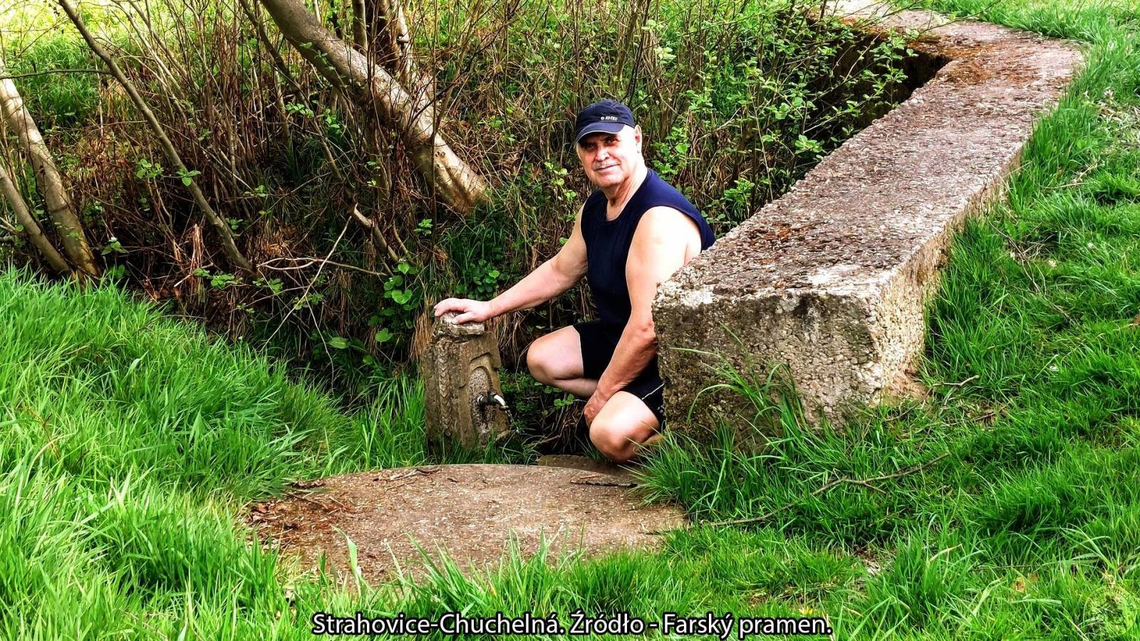
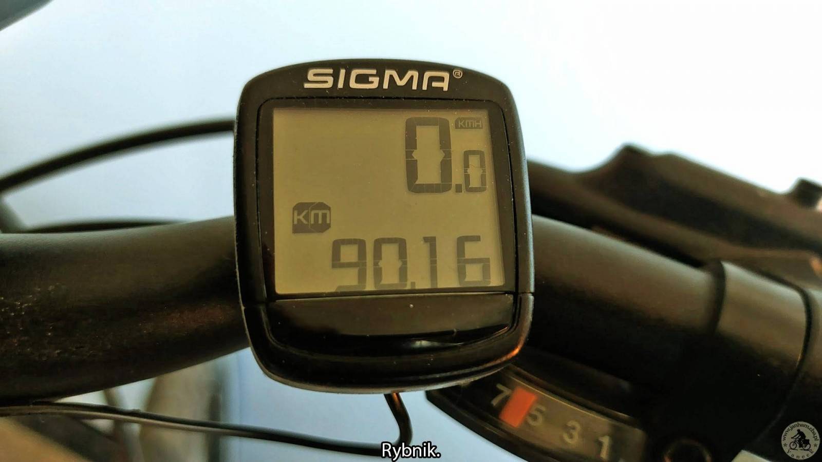
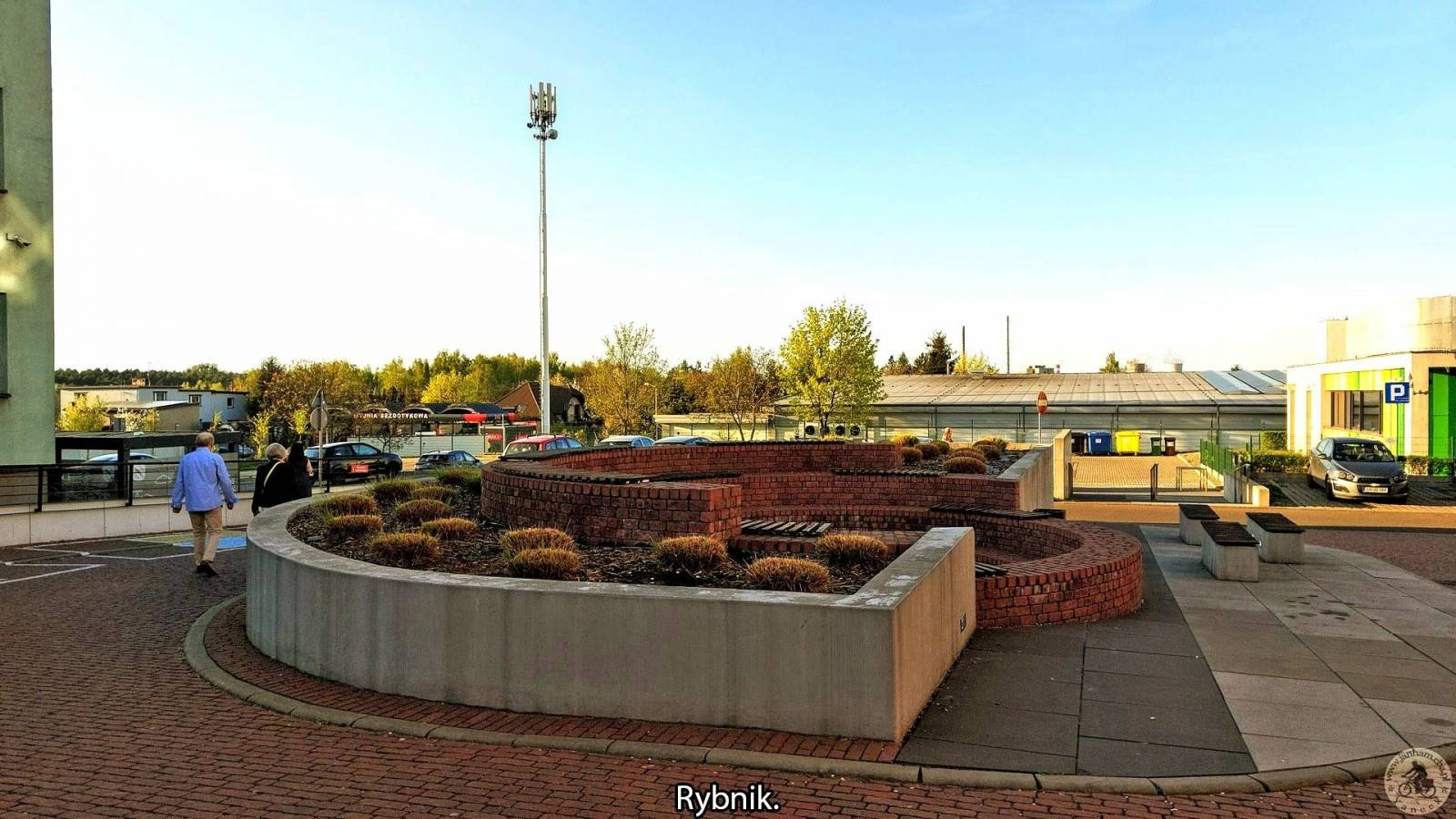
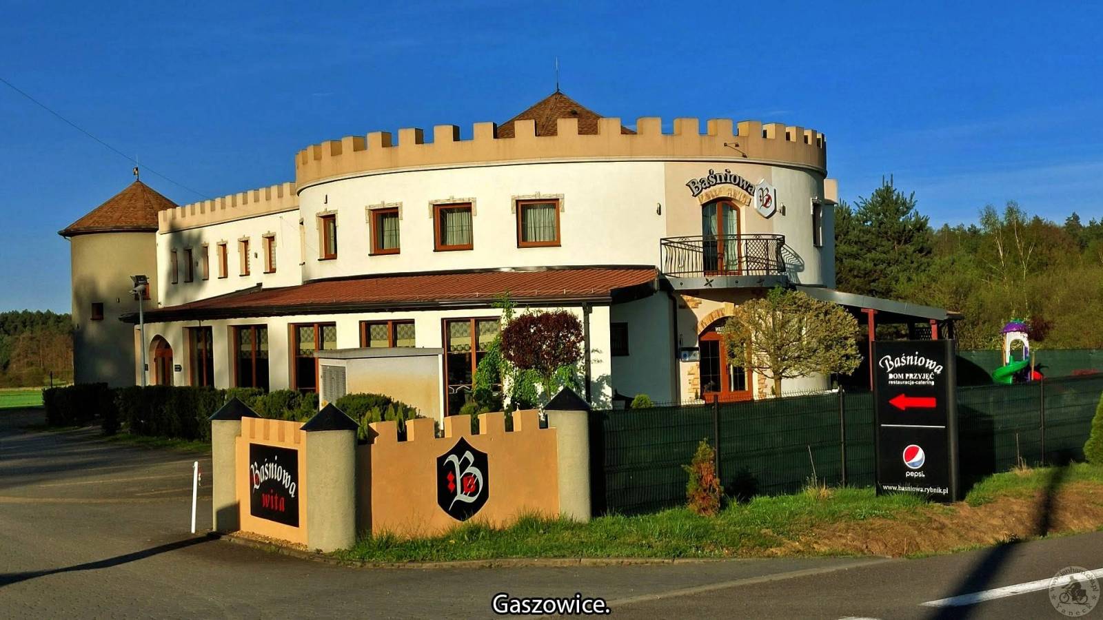
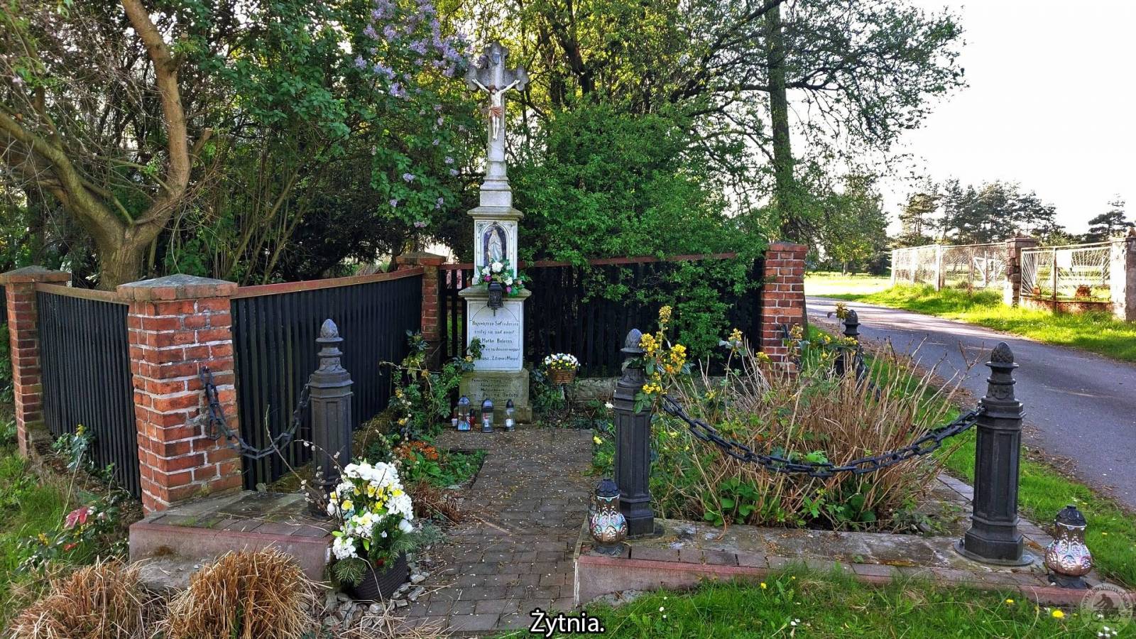
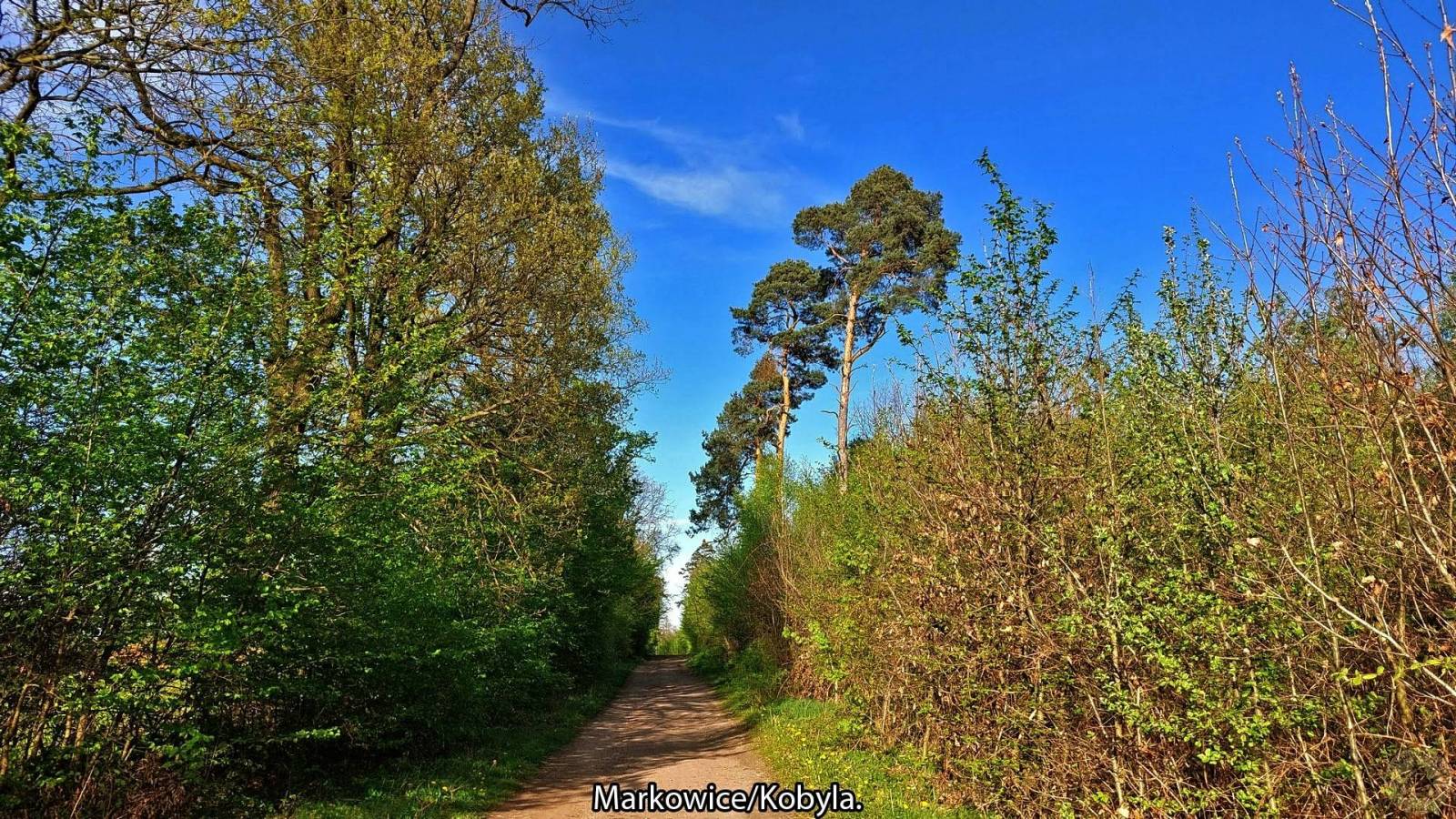
Wyjazd do Czech by odszukać źródełka wody. Podróż rozpocząłem od Wyjazdu na PKP Rybnik i dalej pociągiem do Raciborza, to stąd trasa rowerowa prowadziła do Samborowic, Krzanowice, przez granicę Polsko Czeską do Strahovic tu pierwsze źródełko tzw. Studánka, drugie Farsky pramen i miejsce piknikowe Kralovna. Chuchelna - staw Brůdek, Kobeřice trzecie źródło, którego nie odnalazłem tzw. Modrá studánka przyczyną nie odnalezienia zapewne są wiatrołomy i może zostało zniszczone. Kolejne czwarte źródło to Zbojnička (Pinkadélko), piąte Bolatice - Borová źródło U Velkého kamene, szóste to Bělá źródło już mi znane to źródło na farmie pstrągów, dalej Bělá siódme też mi znane, źródło tzw. Pramen Židlo. Trasa wymagająca, dużo podejść, cała trasa rowerowa to ponad 90 km. Oczywiście nie zabrakło też innych ciekawych, malowniczych miejsc po trasie, wszystkie te miejsca są opisane na zdjęciach. Więcej: https://www.janham.cba.pl/index.php?option=com_content&view=article&id=237&Itemid=433
Komentarze
NA TYCH TRASACH PRZYDA CI
SIĘ MAPOPRZEWODNIK LUB MAPA Z NASZEJ APLIKACJI
MAPA TURYSTYCZNA W APLIKACJI TRASEO
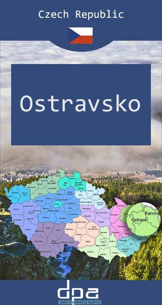
Ostrava Region
The map presents part of north-eastern Czech Republic, near the border with Poland. The capital city of the region -Ostrava - straddles the border of the two historic provinces of Moravia and Silesia.
Published: 2016/2017
MAPA TURYSTYCZNA W APLIKACJI TRASEO
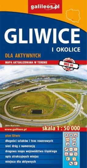
Gliwice Area
The map covers part of the Silesian Voivodeship in southern Poland: Gliwice city and its surroundings. Lot of information useful for tourists is marked on the map: monuments, accomodation facilities, protected areas, cycling and walking trails. The most interesting places are highlighted with a yellow frame.
MAPA TURYSTYCZNA W APLIKACJI TRASEO
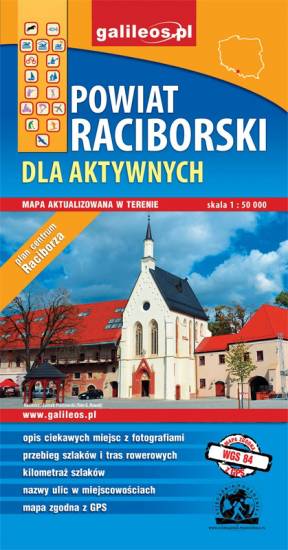
Racibórz County
The map presents the Racibórz County in the Upper Silesia region, Poland. It is comprised of five municipalities: Racibórz, Kornowac, Nędza, Kuźnia Raciborska, Rudnik, Pietrowice Wielkie, Krzanowice, Krzyżanowice. The most interesting places are highlighted with a yellow frame. Cycling, walking and didactic trails are marked on the map.
MAPA TURYSTYCZNA W APLIKACJI TRASEO
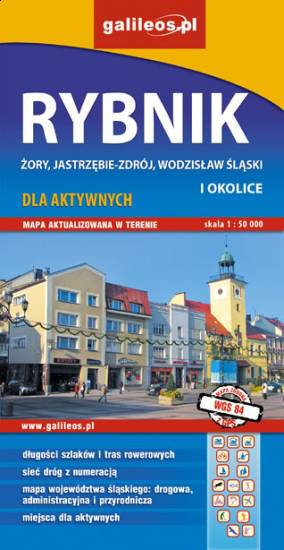
Rybnik Region
The map range: Żory in Poland to the east, Karviná in Czech Republic to the south, Wodzisław Śląski (Poland) and Ostrava suburbs (Czech Republic) to the west, and Gliwice suburbs (Poland) to the north. Tourist attractions, cycling and walking trails, boundaries of protected areas, as well as accomodation facilities are marked on the map.
MAPA TURYSTYCZNA W APLIKACJI TRASEO
Opava Region and Slezská Harta Dam
The map presents the region in north-eastern Czech Republic, near the border with Poland.
MAPA TURYSTYCZNA W APLIKACJI TRASEO
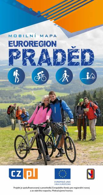
Euroregion Praděd
Turistická mapa Euroregionu Praděd zahrnuje území česko-polského příhraničí: na české straně okresy Jeseník a Bruntál, na polské straně Opolské vojvodství. Speciálně zpracovaný kartografický podklad obsahuje nezbytné informace pro aktivní turistiku v přeshraniční oblasti: pěší, jezdecké, cyklistické stezky a další významné objekty infrastruktury cestovního ruchu.
Mapa byla zpracována v rámci projektu „E-bike moderní turistika" spolufinancovaného z prostředků Evropského fondu pro regionální rozvoj a ze státního rozpočtu. „Překračujeme hranice"