
Charakterystyka trasy

Komentarze
NA TYCH TRASACH PRZYDA CI SIĘ MAPOPRZEWODNIK LUB MAPA Z NASZEJ APLIKACJI
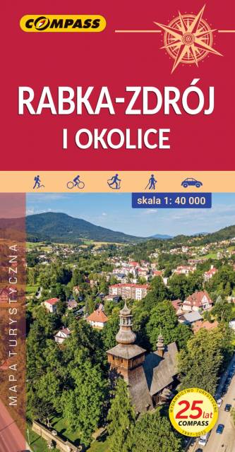
Mapa przedstawia okolice Rabki-Zdroju od Mszany Dolnej na północy, przez Jurków i Ochotnicę Górną na wschodzie po Nowy Targ na południu, Sidzinę i Podwilk na zachodzie.
Rabka-Zdrój, położona w północnej części Gorców, w dolinie rzeki Raby, znana jest przede wszystkim ze swojej funkcji uzdrowiskowej. Stanowi również dobre miejsce wypadowe w Beskid Wyspowy oraz pasmo Gorców i Gorczański Park Narodowy. Jest to atrakcyjny teren na piesze i rowerowe wycieczki. Okolice Rabki-Zdroju to również ciekawe pod względem krajoznawczym miejsca z zabytkową architekturą drewnianą i murowaną oraz muzeami. Rok wydania 2024
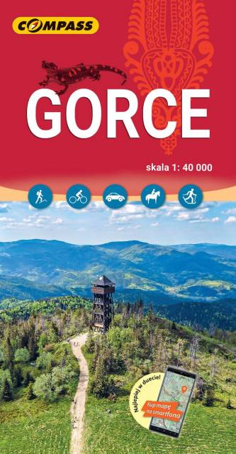
Mapa przedstawia jedno z najpopularniejszych i najatrakcyjniejszych pod względem krajobrazowym pasm Beskidów, z Gorczańskim Parkiem Narodowym na czele. Obszar mapy obejmuje całe Gorce, od przełęczy Sieniawskiej i Raby Wyżnej na zachodzie, po dolinę Dunajca i Krościenko nad Dunajcem na wschodzie. Od południa mapę ogranicza Nowy Targ i Jezioro Czorsztyńskie, zaś od północy Mszana Dolna. Gorce są atrakcyjnym terenem do uprawiania turystyki aktywnej – zarówno pieszej, rowerowej, narciarskiej, jak i konnej. Na mapie zastosowano cieniowanie w celu uzyskania wrażenia plastyczności rzeźby terenu. Mapa została skonsultowana przez przewodników z krakowskiego Studenckiego Koła Przewodników Górskich, pracowników Gorczańskiego Parku Narodowego, PTTK w Rabce i w Krakowie oraz Grupę Podhalańską GOPR. Mapę offline można zakupić w aplikacji Traseo na urządzenia mobilne. Rok wydania 2023
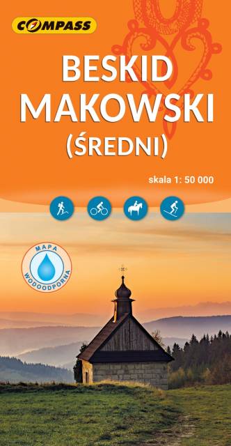
Mapa Beskidu Makowskiego (zwanego także Średnim lub Myślenickim) swoim zasięgiem obejmuje także fragmenty Beskidów: Małego, Żywieckiego i Wyspowego. Najwyższym szczytem jest Mędralowa, pozostałe pasma osiągają wysokość do 700 – 800 m n.p.m. Beskid Makowski jest stosunkowo mało popularny wśród turystów, chociaż jest też dosyć gęsto zaludniony. Na mapie przedstawione zostały szlaki piesze oraz trasy rowerowe, zastosowano także cieniowanie w celu uzyskania wrażenia plastyczności terenu. Mapa offline, którą można zakupić w aplikacji Traseo na urządzenia mobilne, zasięgiem obejmuje tereny od Wadowic na zachodzie po Dobczyce i Rabkę-Zdrój na wschodzie. Rok wydania 2023
Mapa Beskidu Żywieckiego, z Babiogórskim Parkiem Narodowym i najwyższym szczytem - Babią Górą (1725 m n.p.m.). Na mapie znajduje się część Beskidu Śląskiego - sięgając na zachodzie po miejscowości Istebna i Jaworzynka, czyli miejsce styku granic Polski, Słowacji i Czech. "Żywiecka" część mapy obejmuje cały Beskid Żywiecki: Suchą Beskidzką na północy, Worek Raczański na południu, Zwardoń na zachodzie oraz Jordanów i Rabkę-Zdrój na wschodzie. Beskid Żywiecki to najwyższe po Tatrach pasmo górskie w Polsce. Wyniosłe szczyty sąsiadują tu z dolinami, w których ulokowały się miejscowości z tradycyjną ludową zabudową, m.in.: Korbielów, Zawoja, Rajcza, Zwardoń. Beskid Żywiecki to idealne miejsce do uprawiania turystyki pieszej, ale także rowerowej. Przebiega tędy czerwony Główny Szlak Beskidzki. Występują tu również bardzo dobre warunki dla narciarzy z rozbudowaną infrastrukturą narciarską (Ośrodek Narciarski Pilsko, Mosorny Groń, Ośrodek Zwardoń Ski). Mapę offline można zakupić w aplikacji Traseo na urządzenia mobilne. Rok wydania 2022
Mapa w wersji elektronicznej, którą można otworzyć jako jeden z podkłądów offline w aplikacji mobilnej Traseo. Mapa wydawnictwa compass obejmuje zasięgiem Beskid Wyspowy oraz Pogórze Wiśnickie i wschodnią część Pogórza Wielickiego. Od północy ogranicza ją Brzesko i Bochnia, na południu Rabka i Stary Sącz, na zachodzie - Jordanów, a na wschodzie - Nowy Sącz. To świetna alternatywa dla mapy drukowanej. Rok wydania: 2023