


Charakterystyka trasy

Komentarze
NA TYCH TRASACH PRZYDA CI SIĘ MAPOPRZEWODNIK LUB MAPA Z NASZEJ APLIKACJI

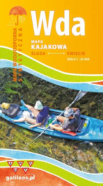
Mapa przedstawia szlak kajakowy rzeką Wdą od miejscowości Śluza do Klanin. Na mapie zaznaczono kilometraż rzeki oraz obiekty istotne dla kajakarza takie jak miejsca niebezpieczne, przeszkody na trasie spływu, pola biwakowe. Mapa jest zorientowana zgodnie z kierunkiem płynięcia.
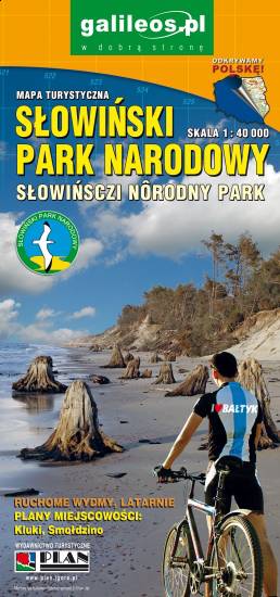
The Słowiński National Park is a national park in the Pomeranian Voivodeship, northern Poland. It is situated on the Baltic coast, between Łeba and Rowy. The map range: Łeba to the east, Ustka to the west, Warblino to the south. The area is covered by a network of walking and cycling trails, which are marked on the map.
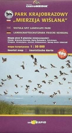
Vistula Spit Landscape Park is a protected area on the Vistula Spit in northern Poland. The Park covers an area of 44.10 square kilometres. It lies within Pomeranian Voivodeship, in Nowy Dwór Gdański County (Krynica Morska, Gmina Sztutowo). Within the Landscape Park are two nature reserves.