
Charakterystyka trasy

Komentarze
NA TYCH TRASACH PRZYDA CI SIĘ MAPOPRZEWODNIK LUB MAPA Z NASZEJ APLIKACJI
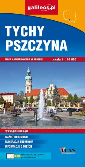
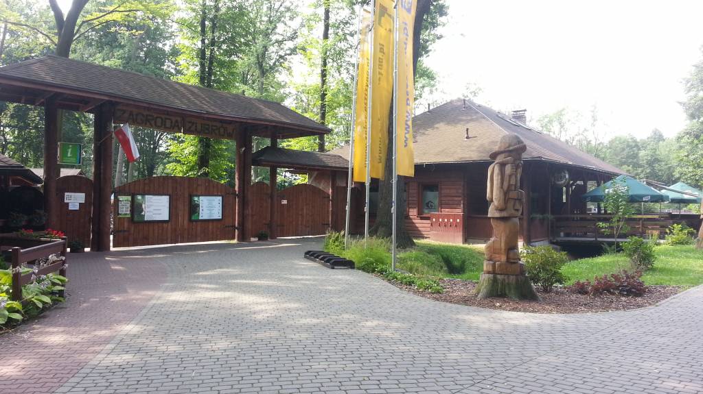
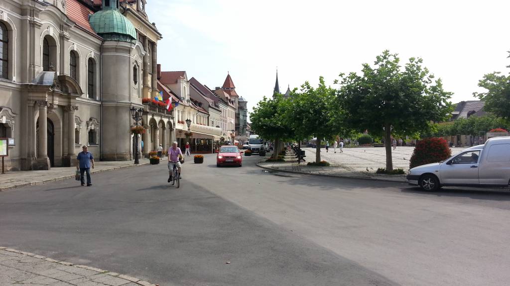
Mapa Pszczyny, Tych i okolic ograniczony jest przez Oświęcim na wschodzie i Żory na zachodzie, południowa część mapy to Jezioro Goczałkowickie. Na mapie zaznaczono informacje przydatne turyście i podano przebiegi szlaków pieszych i rowerowych. Wyróżniono miejscowości godne zwiedzania i miejsca szczególnie interesujące aktywnych.
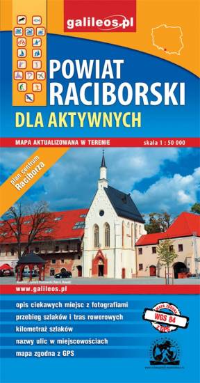
Mapa Raciborza i okolic obejmuje obszar, w skład którego wchodzą gminy: Racibórz, Kornowac, Nędza, Kuźnia Raciborska, Rudnik, Pietrowice Wielkie, Krzanowice, Krzyżanowice. Szczególnie atrakcyjne miejsca zaznaczono żółtą ramką. Podano aktualne przebiegi szlaków pieszych, rowerowych i dydaktycznych, łącznie z kilometrażem.
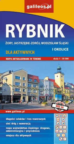
Mapa Rybnika i okolic obejmuje Żory, Jastrzębie-Zdrój, Rybnik i Wodzisław Śląski. Zaznaczono na niej informacje przydatne turyście, jak zabytki, noclegi, granice obszarów chronionych. W miejscowościach opisano nazwy głównych ulic. Podano aktualne przebiegi szlaków pieszych i rowerowych.