

Charakterystyka trasy

Komentarze
NA TYCH TRASACH PRZYDA CI SIĘ MAPOPRZEWODNIK LUB MAPA Z NASZEJ APLIKACJI
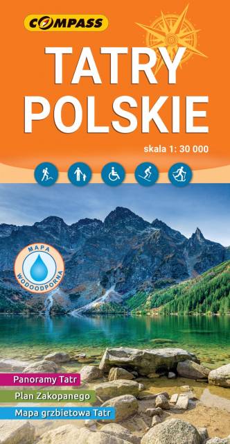
Mapa rzedstawia najbardziej znane i najczęściej odwiedzane góry w Polsce - Tatry. Zasięg mapy wyznaczają: Rysy (2499 m n.p.m.) na południu, Jurgów na wschodzie, Wołowiec (2064 m n.p.m.) na zachodzie i Bukowina Tatrzańska na północy. Obszar mapy obejmuje Tatry Zachodnie i część Tatr Wysokich.Na terenie Tatr, na wyznaczonych do tego szlakach lub obszarach, można uprawiać turystykę pieszą, rowerową, narciarstwo, taternictwo powierzchniowe i jaskiniowe.Na mapie zastosowano cieniowanie w celu uzyskania wrażenia plastyczności rzeźby terenu oraz przedstawiono informacje przydatne turystom w wysokich górach, m.in. miejsca zejścia lawin i łańcuchy. Dodatkowo zamieszczone zostały: plan Zakopanego (1:18500), informator o Tatrach i Tatrzańskim Parku Narodowym, propozycje wycieczek z czasami przejść, opisy schronisk turystycznych, a także ciekawostki na temat stolicy gór polskich. Treść mapy była konsultowana z pracownikami TPN i MSiT Zakopane. Mapę offline można zakupić w aplikacji Traseo na urządzenia mobilne. Rok wydania 2023
Mapa przedstawia najbardziej znane i najczęściej odwiedzane góry w Polsce - Tatry. Zasięg mapy wyznaczają: Rysy (2'499 m n.p.m.) na południu, Jurgów na wschodzie, Wołowiec (2'064 m n.p.m.) na zachodzie i Bukowina Tatrzańska na północy. Na mapie zastosowano cieniowanie w celu uzyskania wrażenia plastyczności rzeźby terenu oraz przedstawiono informacje przydatne turystom w wysokich górach, m.in. miejsca zejścia lawin i łańcuchy. Mapa zawiera także: plan Zakopanego (1:18'500), informator o Tatrach i Tatrzańskim Parku Narodowym, mapę grzbietową Tatr Polskich oraz szereg panoram Tatr z opisanymi szczytami. Treść mapy była konsultowana z pracownikami Tatrzańskiego Parku Narodowego. Mapę offline można zakupić w aplikacji Traseo na urządzenia mobilne. Rok wydania 2019
Mapa Tatr polskich i Słowackich, na południu jej zasięg jest po Strbske Pleso. Na mapie zaznaczono szlaki piesze i rowerowe wraz z dokładnymi czasami przejść. Została ona zaktualizowana w terenie. Mapę wyświetlisz pozakupie w formie jednego z podkładów mapowych w aplikacji turystycznej Traseo. Rok wydania 2021
Mapa Tatry Polskie i Słowackie wydawnictwa Compass swoim zasięgiem obejmuje obszar Tatr Wysokich, Bielskich i Zachodnich leżących po stronie zarówno polskiej jak i słowackiej. Mapa Tatr przedstawia atrakcje turystyczne i przyrodnicze, szlaki turystyczne oraz wyciągi narciarskie.
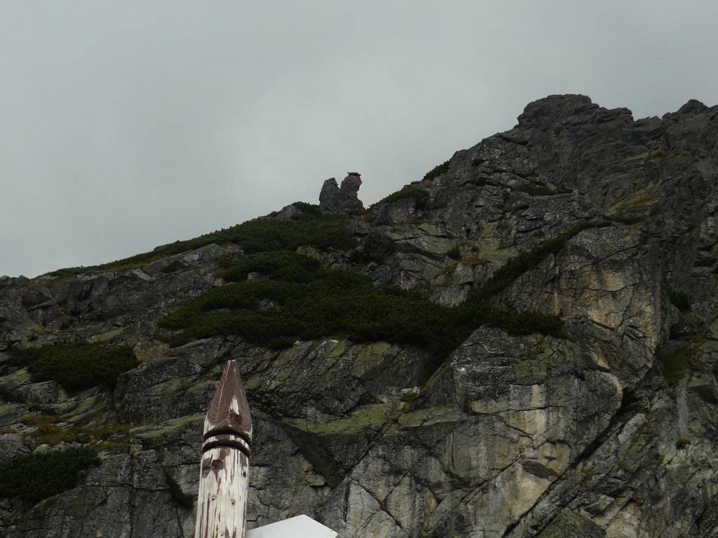
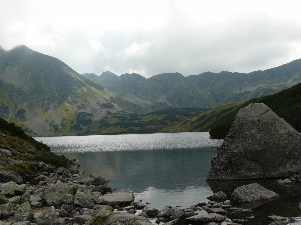
Najpopularniejszym celem wędrówek turystów są Tatry Wysokie, których charakterystycznym elementem krajobrazu są: doliny U-kształtne, kotły, pokrywy morenowe, ostre i wąskie szczyty oraz grzbiety, zwane turniami. Szczyty Tatr Zachodnich są niższe i bardziej łagodne. Występują tu zjawiska krasowe, efektem czego są liczne jaskinie, wywierzyska, żłobki krasowe i leje krasowe. Znajduje się tutaj również wiele dróg wspinaczkowych dla taterników.
Mapa Tatr posiada cieniowanie, zastosowane w celu uzyskania wrażenia plastyczności rzeźby terenu. Rok wydania: 2023
Mapa Tatr polskich i słowackich wraz z kompleksową treścią dla uprawiających sporty zimowe. Naniesione są ośrodki narciarskie wraz z ich charakterystyką i z podziałem na rodzaj akceptowanych w nich biletów, trasy narciarskie skitourowe i biegowe, tory saneczkowe, atrakcje dla dzieci, baseny termalne. Na mapie znajdziemy także informację o tym, które obszary Tatr zamknięte są na zimę dla ruchu turystycznego.