
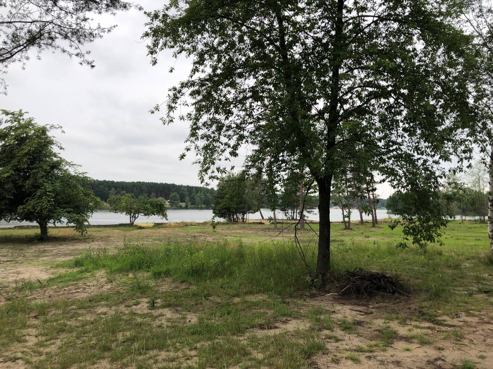

Charakterystyka trasy

Komentarze
NA TYCH TRASACH PRZYDA CI SIĘ MAPOPRZEWODNIK LUB MAPA Z NASZEJ APLIKACJI
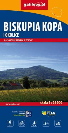
Mapa Biskupiej Kopy i obszaru całych Gór Opawskich, zarówno po stronie polskiej jak i czeskiej. Na mapie jest Góra parkowa, Biskupia Kopa, Góra Poprzeczna oraz obszar wokół Dzikowca. Mapa posiada aktualny przebieg tras turystycznych pieszych z długościami i czasami przejść. Naniesiono tu również ścieżki rowerowe i ścieżki przyrodnicze.
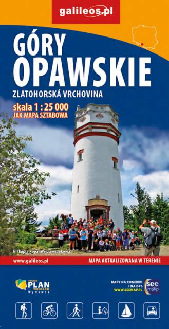
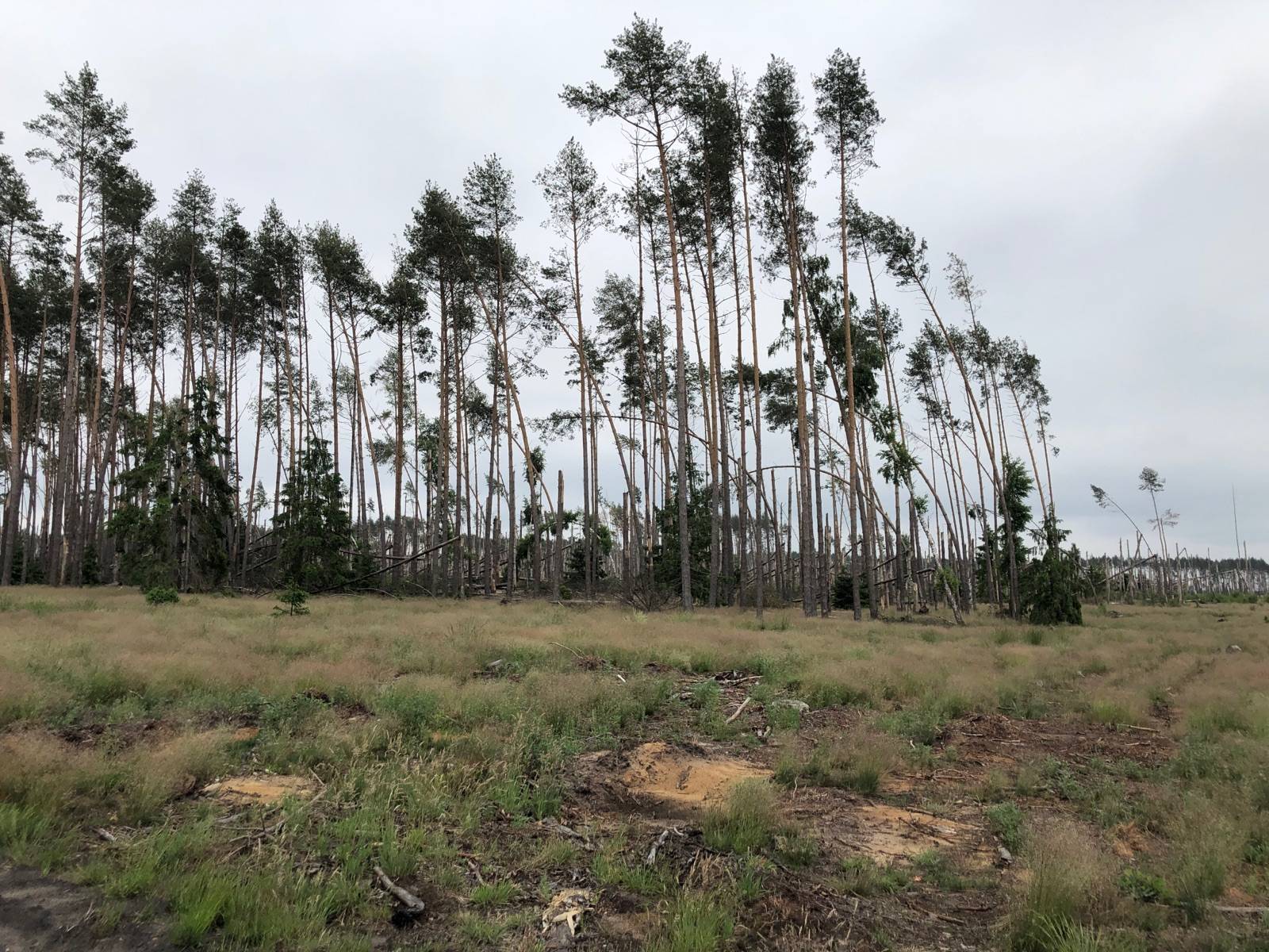
Mapa obejmuje obszar Gór Opawskich zarówno po stronie polskiej jak i czeskiej. Na mapie zaznaczono takie szczyty jak: Góra parkowa, Biskupia Kopa, Góra poprzeczna oraz obszar wokół Dzikowca. Zawiera aktualny przebieg tras turystycznych pieszych z długościami i czasami przejść oraz tras rowerowych i ścieżki przyrodnicze. Zaznaczono powstałe w ostatnich latach wiatrołomy. Miejsca atrakcyjne oznaczono kolorem żółtym. Rok wydania: 2022
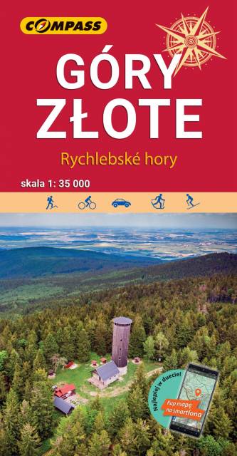
Mapa "Góry Złote" zawiera przebieg tras turystycznych pieszych i rowerowych, aktualizowany w terenie. Mapa obejmuje swym zasięgiem obszar od Paczkowa do Jeseníka (na osi płn. - płd.) oraz od Oldrzychowic Kłodzkich do Jarnołtowa (na osi wsch.-zach.) z zaznaczonymi ciągami komunikacyjnymi, szlakami turystycznymi, pieszymi i rowerowymi z wyznaczonymi odległościami i czasami przejść. Rok wydania 2022
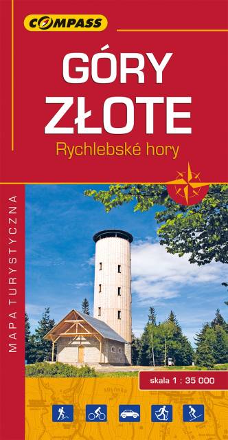
Mapa Góry Złote obejmuje jedno z najdłuższych pasm górskich w środkowej części Sudetów Wschodnich ciągnące się szerokim łukiem długości ok. 40 km od Przeł. Kłodzkiej (489 m n.p.m.) na północnym zachodzie do Przeł. U Trzech Granic (1111 m n.p.m.) na południowym wschodzie. Nazwa pasma nawiązuje do złota wydobywanego przed wiekami w tych górach. Grzbietem Gór Złotych na dł. ok. 32 km wiedzie granica państwowa i po czeskiej stronie przyjmują nazwę Rychlebskich hor (od ruin zamku Rychleby). Zasięg mapy wyznaczają: Złoty Stok i Paczków na północy, Trzebieszowice na zachodzie, Jesenik na południu i Sławnowice na wschodzie.
Na turystów czeka tu sieć pieszych szlaków górskich, które prowadzą ku najatrakcyjniejszym miejscom, jakimi są grzbiety i szczyty górskie, przełęcze, miejsca widokowe, doliny, potoki i rzeki górskie. W okolicach Złotego Stoku, Lądka Zdroju i Stronia Śląskiego wytyczono wiele atrakcyjnych tras spacerowych i rowerowych. Rok wydania 2022
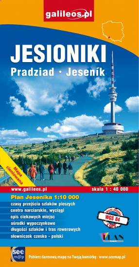
Mapa "Jesioniki" obejmuje Wysoki Jesionik z Pasmem Orlika oraz fragmentem Gór Rychlebskich i Zlatohorskiej Vrchoviny. Na mapie zaznaczono informacje przydatne turyście, podano aktualne przebiegi szlaków pieszych, rowerowych i narciarskich łącznie z kilometrażem.
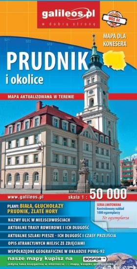
Mapa Prudnika i okolic obejmuje obszar od Nysy i Krapkowic do Głuchołaz i Města Albrechtickiego. Naniesiono wszystkie trasy rowerowe, szlaki piesze i konne. Podano ich długość a przy szlakach pieszych również czasy przejść. We wszystkich miejscowościach podano nazwy ulic. Na mapie użyta jest siatka geograficzna, opisana co 1 minutę (szerokość geograficzna) i 2 minuty (długość geograficzna). W formie drukowanej mapa wydana została w nakładzie 1000 egzemplarzy jako limitowana seria.