
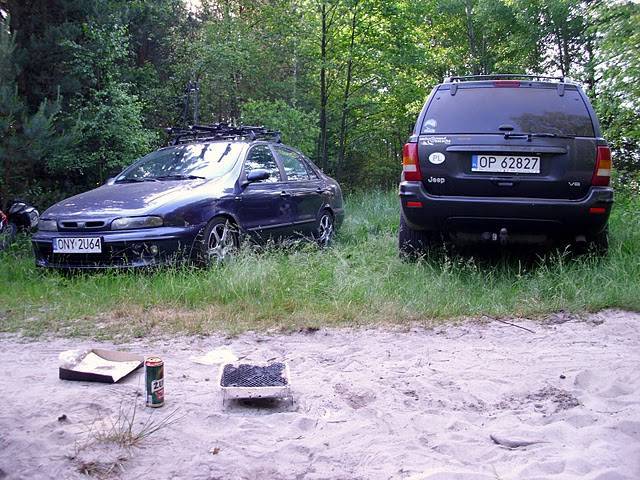

Charakterystyka trasy

Komentarze
NA TYCH TRASACH PRZYDA CI SIĘ MAPOPRZEWODNIK LUB MAPA Z NASZEJ APLIKACJI
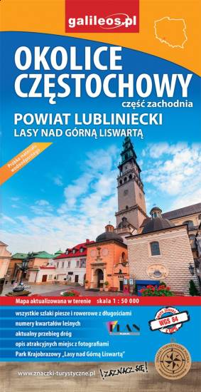
Mapa Częstochowy i okolic obejmuje swym zasięgiem zachodnie okolice Częstochowy, a w nich Park Krajobrazowy Górnej Liswarty, powiat lubliniecki, zawiera sieć dróg z numeracją, granice gmin oraz bogatą treść turystyczną: szlaki piesze i rowerowe, ścieżki przyrodnicze, zabytki, ciekawe miejsca i przyrodniczą - granice rezerwatów, pomniki przyrody. Zawiera nazwy ulic w miejscowościach.

Mapa Jury Krakowsko-Częstochowskiej, fragmentu położonego bliżej Częstochowy. Zasięg mapy wyznaczają miejscowości: Częstochowa, Blachownia, Pajęczno, Radomsko. Zaznaczono tu szlaki piesze, rowerowe i konne wraz z zaznaczonymi odległościami.
Mapa została wydana jedynie w formie cyfrowej - brak dostępnej wersji papierowej.

Mapa turystyczna Euroregionu Pradziad obejmuje obszar pogranicza polsko-czeskiego: po polskiej stronie województwo opolskie a po czeskiej okresy Jesenik i Bruntal. Specjalnie opracowany podkład kartograficzny zawiera niezbędne informacje do uprawiania aktywnej turystyki w transgranicznym regionie: szlaki piesze, konne, trasy rowerowe oraz inne ważne elementy infrastruktury turystycznej.
Mapa została wykonana w ramach projektu „E-bike nowoczesna turystyka” współfinansowanego ze środków Europejskiego Funduszu Rozwoju Regionalnego oraz ze środków budżetu państwa. „Przekraczamy granice”.

Turistická mapa Euroregionu Praděd zahrnuje území česko-polského příhraničí: na české straně okresy Jeseník a Bruntál, na polské straně Opolské vojvodství. Speciálně zpracovaný kartografický podklad obsahuje nezbytné informace pro aktivní turistiku v přeshraniční oblasti: pěší, jezdecké, cyklistické stezky a další významné objekty infrastruktury cestovního ruchu.
Mapa byla zpracována v rámci projektu „E-bike moderní turistika" spolufinancovaného z prostředků Evropského fondu pro regionální rozvoj a ze státního rozpočtu. „Překračujeme hranice".

Mapa Opola i okolic obejmuje obszar województwa w skali 1:190 000. Mapa zawiera aktualny przebieg dróg wraz z numeracją, odległości drogowe, granice powiatów i gmin ponadto stacje paliw, hotele, parkingi, zabytki, zaznaczono wszystkie miejscowości. Mapa oprócz województwa obejmuje też pogranicze i obszar Wrocławia. Na obu mapach wkreślono współrzędne geograficzne zgodne z GPS. Opracowanie obejmuje także plan Opola w skali 1:20 000, widoczny po odpowiednim zbliżeniu.