


Charakterystyka trasy

Komentarze
NA TYCH TRASACH PRZYDA CI SIĘ MAPOPRZEWODNIK LUB MAPA Z NASZEJ APLIKACJI
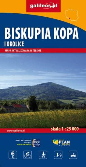
The map presents part of Baltic coast in Western Pomerania, in Poland, including Wolin Island, part of Uznam Island and Gryfice Plain. The map range: Świnoujście to the west, Wolin to the south, Kamień Pomorski to the east. Walking, cycling and canoeing trails are marked on the map, as well as tourist attractions.
Update: 2017
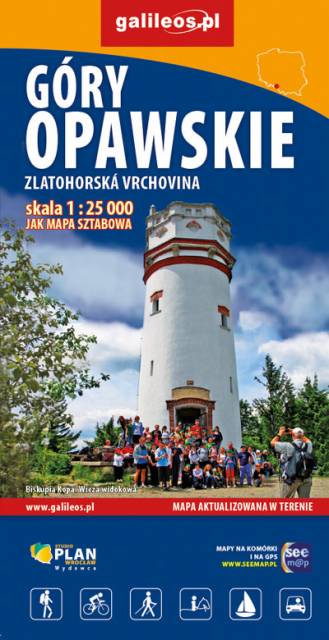
The Opawskie Mountains are a mountain range in the Eastern Sudetes. They stretch from northern Czech Silesia into Polish Upper Silesia, the eastern continuation of the Golden Mountains range.The Polish part of the range includes a protected area known as the Opawskie Mountains Landscape Park. It is named after the Opava River with its source in the neighbouring Hrubý Jeseník range. On the map in detailed scale tourist attractions, cycling and walkig trails, and educational trails are marked.
Update: 2017
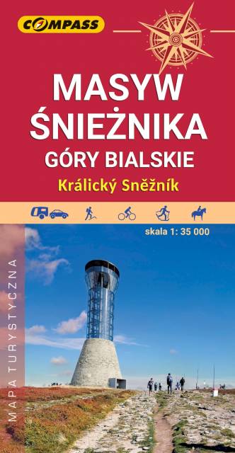
The map presents one of the highest mountains range in Sudetes, on the Polish-Czech border. It also covers part of Golden Mountains and the town of Stronie Śląskie. The region is perfect not only for hikers or cyclists, but also for skiers, horse riders, rocky climbers and fishermen. The map range: Bystrzyca Kłodzka to the north-west, Międzylesie to the south-west, Jindrichov to the south-east.
Update: 2017
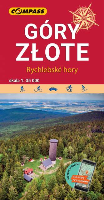
The Golden Mountains are a mountain range in the Eastern Sudetes, spreading over the Polish-Czech border. Map range: Paczków to the north (Poland), Jeseník to the south (Czech Republic), Oldrzychowice Kłodzkie to the west (Poland) and Jarnołtów to the east (Poland). Tourist attractions, as well as cycling and walking trails are marked on the map.
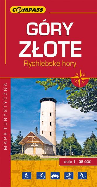
The Golden Mountains are a mountain range in the Eastern Sudetes, spreading over the Polish-Czech border. The map range: Złoty Stok and Paczków to the north, Trzebieszowice to the west, Jesenik to the south and Sławnowice to the east. Tourist attractions, as well as cycling and walking trails are marked on the map.
Update: 2017
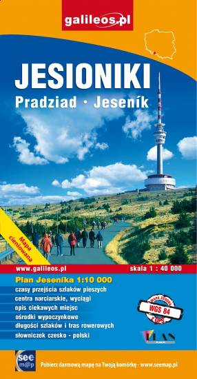
The map covers Hrubý Jeseník, a mountain range of the Eastern Sudetes in Czech and Polish Silesia. It is the second highest mountain range in Czech Republic. Part of Golden Mountains (Rychlebské hory / Góry Złote) range is also presented. Information useful for tourists, hiking, cycling and ski trails are marked on the map.