
Charakterystyka trasy

Komentarze
NA TYCH TRASACH PRZYDA CI SIĘ MAPOPRZEWODNIK LUB MAPA Z NASZEJ APLIKACJI
Mapa "Góry Złote" zawiera przebieg tras turystycznych pieszych i rowerowych, aktualizowany w terenie. Mapa obejmuje swym zasięgiem obszar od Paczkowa do Jeseníka (na osi płn. - płd.) oraz od Oldrzychowic Kłodzkich do Jarnołtowa (na osi wsch.-zach.) z zaznaczonymi ciągami komunikacyjnymi, szlakami turystycznymi, pieszymi i rowerowymi z wyznaczonymi odległościami i czasami przejść. Rok wydania 2022
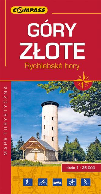
Mapa Góry Złote obejmuje jedno z najdłuższych pasm górskich w środkowej części Sudetów Wschodnich ciągnące się szerokim łukiem długości ok. 40 km od Przeł. Kłodzkiej (489 m n.p.m.) na północnym zachodzie do Przeł. U Trzech Granic (1111 m n.p.m.) na południowym wschodzie. Nazwa pasma nawiązuje do złota wydobywanego przed wiekami w tych górach. Grzbietem Gór Złotych na dł. ok. 32 km wiedzie granica państwowa i po czeskiej stronie przyjmują nazwę Rychlebskich hor (od ruin zamku Rychleby). Zasięg mapy wyznaczają: Złoty Stok i Paczków na północy, Trzebieszowice na zachodzie, Jesenik na południu i Sławnowice na wschodzie.
Na turystów czeka tu sieć pieszych szlaków górskich, które prowadzą ku najatrakcyjniejszym miejscom, jakimi są grzbiety i szczyty górskie, przełęcze, miejsca widokowe, doliny, potoki i rzeki górskie. W okolicach Złotego Stoku, Lądka Zdroju i Stronia Śląskiego wytyczono wiele atrakcyjnych tras spacerowych i rowerowych. Rok wydania 2022
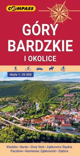
Mapa przedstawia najdalej na wschód wysunięte pasmo górskie w Sudetach Środkowych, a także dodatkowo część Gór Sowich i Gór Złotych. Zasięg mapy wyznaczają: Ząbkowice Śląskie na północy, Ołdrzychowice Kłodzkie i Złoty Stok na południu, Wolibórz na zachodzie i Paczków na wschodzie. Na mapie znalazły się także plany miast: Kłodzko centrum, Bardo, Złoty Stok, Ząbkowice Śląskie, Paczków, Kamieniec Ząbkowicki, Ziębice. Na mapie zastosowano cieniowanie w celu uzyskania wrażenia plastyczności rzeźby terenu. Mapę offline można zakupić w aplikacji Traseo na urządzenia mobilne. Rok wydania 2021
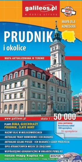
Mapa Prudnika i okolic obejmuje obszar od Nysy i Krapkowic do Głuchołaz i Města Albrechtickiego. Naniesiono wszystkie trasy rowerowe, szlaki piesze i konne. Podano ich długość a przy szlakach pieszych również czasy przejść. We wszystkich miejscowościach podano nazwy ulic. Na mapie użyta jest siatka geograficzna, opisana co 1 minutę (szerokość geograficzna) i 2 minuty (długość geograficzna). W formie drukowanej mapa wydana została w nakładzie 1000 egzemplarzy jako limitowana seria.
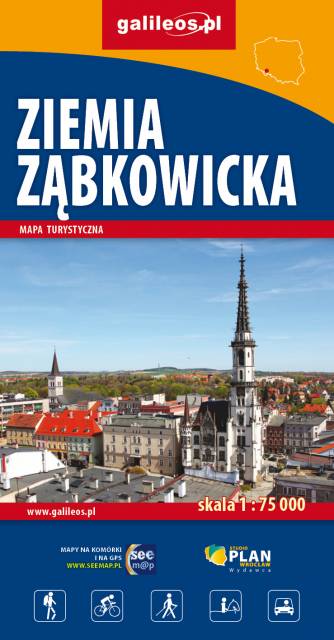
Mapa jest w zasięgu: od Kłodzka do Nysy, na północ do Strzelina i Dzierżoniowa. Opracowanie zawiera informacje niezbędne każdemu turyście m.in. położenie zabytków, bazę noclegową oraz przebieg wszystkich szlaków pieszych, ścieżek dydaktycznych, tras rowerowych oraz modnych ostatnio Singletraków. Dla łatwego czytania podano ich długości. Mapa opisana na siatce WGS 84, zgodna z polskimi systemami nawigacyjnymi.