


Charakterystyka trasy

Komentarze
NA TYCH TRASACH PRZYDA CI SIĘ MAPOPRZEWODNIK LUB MAPA Z NASZEJ APLIKACJI


Mapa Trójmiasta obejmuje swoim zasięgiem obszar Trójmiejskiego Parku Krajobrazowego od Wejherowa przez Redę, Rumię, Gdynię, Sopot aż do Gdańska. Na mapie ujęto wszystkie informacje przydatne turyście. Podano aktualne przebiegi szlaków pieszych, rowerowych, konnych, nordic walking i konnych, łącznie z kilometrażem.
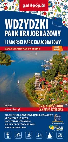
Mapa Parków Krajobrazowych Wdzydzkiego i Zaborskiego. Na mapie zaznaczono przebieg szlaków pieszych, rowerowych, konnych i kajakowych. Przy szlakach uwzględniono kilometraż. Na mapie znajdziemy położenie punktów noclegowych i gastronomicznych. Rok wydania: 2020
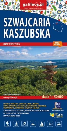
Mapa Szwajcarii Kaszubskiej oraz Kaszubskiego Parku Krajobrazowego. Znajdziemy tu okolic Kartuz, Chmielna i Sierakowic wraz z Wieżycą, Ostrzycami i Szymbarkiem. Mapa przygotowana została w skali 1 : 50 000. Posiada siatkę GPS zgodną z WGS 84. Na mapie znajdują się nazwy głównych ulic w miejscowościach, aktualny przebieg szlaków pieszych i rowerowych z kilometrażem, granice parków krajobrazowych i obszarów chronionego krajobrazu.
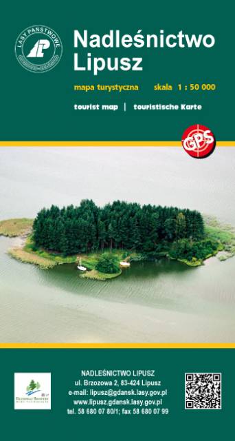
Publikacja z serii map "leśnych" Wydawnictwa Eko-Kapio. Nadleśnictwo zadbało o to, żeby przy tym stopniu szczegółowości (skala 1:50 000) umieścić na mapie wszelkie możliwe trasy turystyczne (szlaki piesze, rowerowe, Nordic Walking, kajakowe), które stanowią świetną inspirację do wyruszenia na wędrówkę. Ponadto zaznaczono liczne ciekawostki turystyczno-krajoznawcze, np. widoczne nasypy po budowanej i nieukończonej autostradzie "Berlince" oraz granica polsko-niemiecka z 1939 r.
Wydanie 1, 2017

Mapa Kociewia i Powiśla w części zachodniej obejmuje obszar zamknięty przez Skarszew na zachodzie, Kwidzyn na południu, Malbork na wschodzie i Tczew na północy. Mapa zawiera szczegółowy obraz terenu, wraz ze szlakami i atrakcjami turystycznymi. Na mapie Powiśla i Kociewia znajdziemy m.in. Szlak Zamków Powiśla, Szlak Grzymisława, EuroVelo 9 i Szlak Kopernikowski.
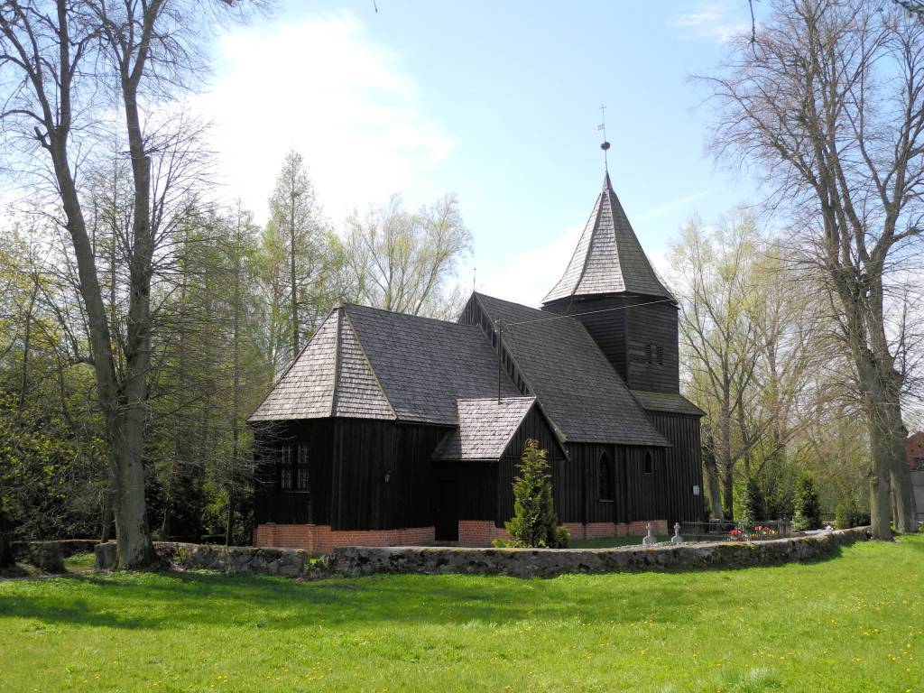
Kociewie jest to region etnograficzno-kulturowy na Pomorzu Gdańskim, położony na lewym brzegu Wisły w dorzeczu Wdy i Wierzycy, obejmujący wschodnią część Borów Tucholskich. W przybliżeniu Kociewie zajmuje obszar obecnych powiatów starogardzkiego, tczewskiego i północnej części świeckiego, zamieszkany przez ok. 350 tys. mieszkańców. Część mieszkańców regionu posługuje się gwarami kociewskimi.