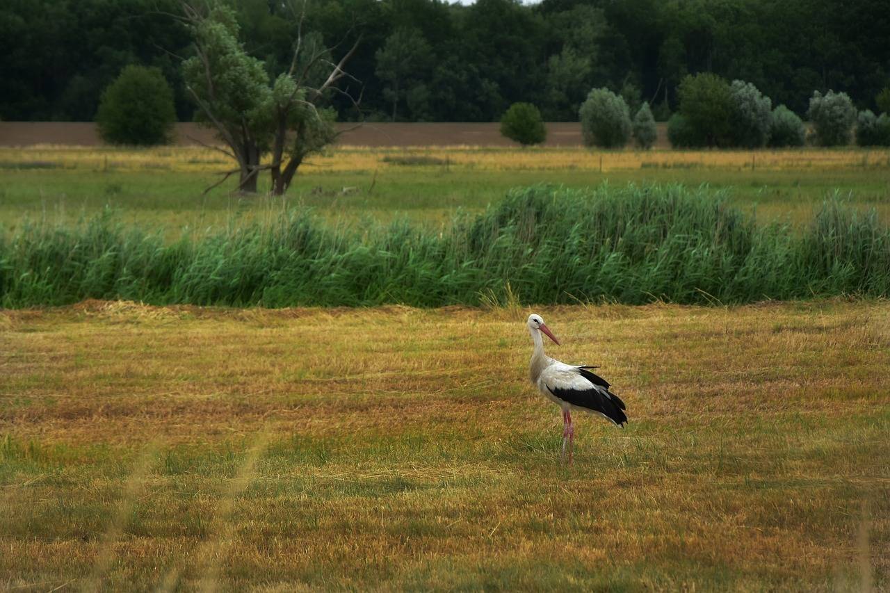
The name Podlasie Stork Trail refers to an area that is particularly known for its white stork population. Podlasie, with its vast water areas, marshes and agricultural land, provides an ideal environment for these birds to nest and raise their young.
Length of the Podlasie Stork Trail
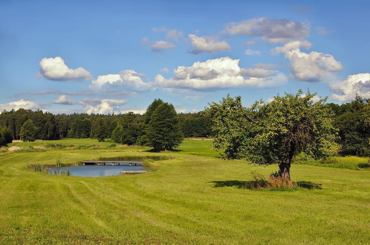
The Podlasie Stork Trail was created to highlight the importance of this region for the protection and conservation of white storks. The trail is 412.5 km long and is the longest marked tourist cycle trail in Podlasie. It runs through four national parks in Podlasie: Białowieża, Narew, Biebrza and Wigry, as well as the Suwałki Landscape Park. Along the route, there are information boards where you can learn about the life and habits of white storks and tourist attractions. The Podlasie Stork Trail is part of the Greenways network in Poland. This trail is an ideal way to spend your free time actively and allows you to explore the beautiful places in Podlasie. One of the additional charms of the region is the presence of numerous rivers, lakes and canals, which create ideal conditions for water sports and recreation on the water. It is a great way to observe birds and discover the charms of the Podlasie landscape from a different perspective.
Podlasie Stork Trail – route and attractions
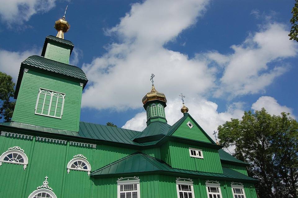
The Podlasie Stork Trail begins in Białowieża, in the world-famous and highly regarded Białowieża Forest. It is here that one of the oldest and most important national parks in Poland is located - the Białowieża National Park. When you set off on the Podlasie Stork Trail, you immediately find yourself surrounded by extraordinary nature, where oaks, beeches and pines create a magical forest. The Podlasie Stork Trail is not only a journey through nature, but also a discovery of the rich culture and history of the region. It leads through the Suwałki Region, where you can encounter bison and discover the Land of Open Shutters, where wooden Orthodox churches stand as witnesses to history. Along the way, you will encounter observation towers, a Jewish synagogue, wartime fortifications and many other monuments. The cycling adventure ends in Stańczyki, right on the border with the Kaliningrad Oblast.
The surface of the Podlasie Stork Trail
One of the main advantages of the Podlasie Stork Trail is the quality of the road surface. In most cases, the routes run along asphalt roads, which makes cycling comfortable. Most of the gravel roads are found in the Suwałki region – for some, this is an obstacle, for others, a valuable addition to the route. The suggested direction of travel is from south to north, as this avoids major climbs. The Podlasie Stork Trail has been marked out on roads with little traffic, and you can follow it by following the red signs. However, as these are often lacking, we suggest having a GPX route or an app with the route downloaded. The Podlasie Stork Trail connects in parts with the famous Green Velo trail, which is one of the longest cycling routes in Europe. Using the Green Velo infrastructure adds additional opportunities to explore the region. The Podlasie Stork Trail is not only a unique place for nature lovers, but also an excellent base for discovering the diverse culture and rich history of this region. For those who like to combine bird watching with active recreation, it is an excellent option for holiday (and not only) cycling.
Komentarze
NA TYCH TRASACH PRZYDA CI
SIĘ MAPOPRZEWODNIK LUB MAPA Z NASZEJ APLIKACJI
MAPA TURYSTYCZNA W APLIKACJI TRASEO
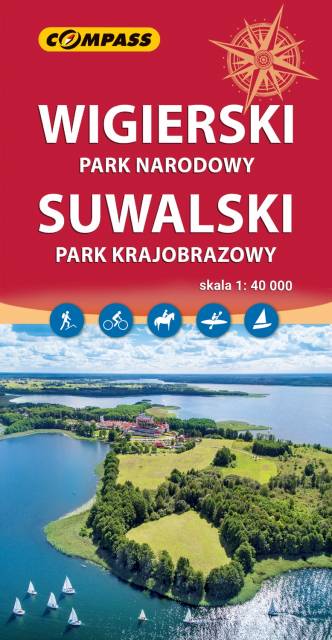
Wigierski Park Narodowy i Suwalski Park Krajobrazowy
Mapa przedstawia najatrakcyjniejszy turystycznie fragment Suwalszczyzny, obejmujący Wigierski Park Narodowy i Suwalski Park Krajobrazowy. Zasięg mapy wyznaczają: Wiżajny na północy, Skajzgiry na zachodzie, Jezioro Blizno na południu oraz Pogorzelec na wschodzie. Jest to region o wyjątkowo urokliwych krajobrazach. Zawdzięczamy je ostatniemu zlodowaceniu, po którym topniejące masy lodu i polodowcowe wody ukształtowały morenowe wzniesienia porozdzielane głębokimi dolinami rzecznymi i jeziorami z największym jeziorem Suwalszczyzny – Wigrami i najgłębszym polskim jeziorem – Hańczą na czele. Polodowcową pamiątką są liczne, okazałe głazy tworzące głazowiska, przetransportowane tu ze Skandynawii. Uroku dodają rozległe kompleksy Puszczy Augustowskiej, okalającej większą część linii brzegowej Jeziora Wigry. Obszar ten to idealne miejsce dla amatorów sportów wodnych. Dużą popularnością cieszą się spływy kajakowe Czarną Hańczą. Warto również wybrać się na spacery i wycieczki rowerowe po Wigierskim Parku Narodowym i Suwalskim Parku Krajobrazowym. Rok wydania 2023
MAPA TURYSTYCZNA W APLIKACJI TRASEO
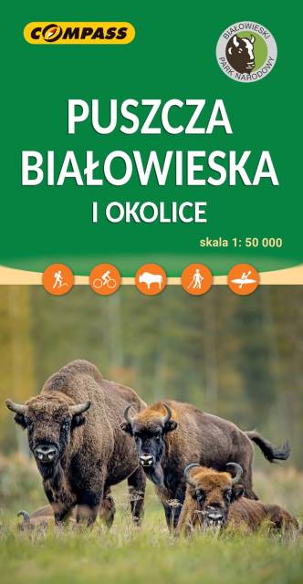
Puszcza Białowieska i okolice
Puszcza Białowska zajmuje obszar 150 000 ha po stronie polskiej i białoruskiej. Mapa Puszczy Białowieskiej pozwala na dokładne zapoznanie się ze specyfiką terenu, znajdującymi się na nim ścieżkami przyrodniczymi oraz najważniejszymi obiektami. Rok wydania 2023
MAPA TURYSTYCZNA W APLIKACJI TRASEO
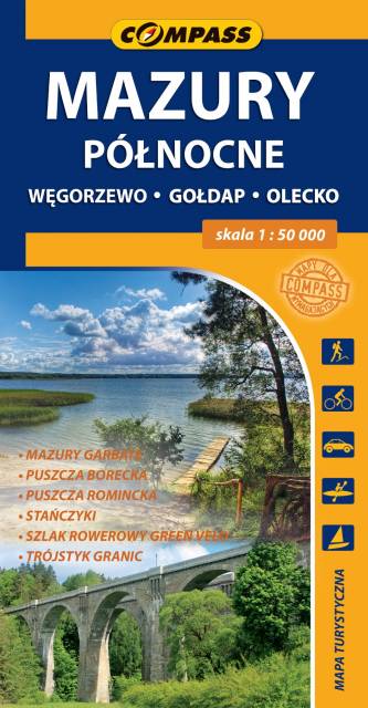
Mazury Północne
Mapa turystyczna "Mazury Północne" obejmuje przygraniczne tereny od Węgorzewa aż po trójstyk granic: Polski-Litwy-Rosji, a także fragment Mazur Garbatych sięgający poniżej Olecka. Zasięg mapy wyznaczają: granica polsko-rosyjska na północy, Węgorzewo na zachodzie, Kruklanki i Gąski na południu, Bakałarzewo na wschodzie. Obszar ten promowany jest jako Dzikie Mazury. Na mapie zaznaczono najbardziej znane atrakcje regionu: Puszczę Borecką, Puszczę Romincką z dokładną lokalizacją głazów cesarskich, Stańczyki ze słynnymi wiaduktami kolejowymi, gołdapskie uzdrowisko, piramidę w Rapie, lądowisko w Giżach oraz dziesiątki pamiątek i zabytków architektury, atrakcyjnych obiektów wodnych i przyrodniczych, punktów widokowych i jezior. Miłośnicy podróży na dwóch kółkach mogą zapoznać się z dokładnym przebiegiem prawie 100 km fragmentu najdłużej trasy rowerowej (wydzielony pas ruchu) w Polsce, tj. "Green Velo".
MAPA TURYSTYCZNA W APLIKACJI TRASEO
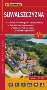
Suwalszczyzna
Mapa Suwałk i okolic regionu obejmuje cały obszar Suwalszczyzny: od Olecka na zachodzie do granicy państwowej na wschodzie. Znajdziemy tu szlaki kajakowe, trasy piesze, rowerowe, zabytki i inne atrakcje oraz infrastrukturę turystyczną.
MAPA TURYSTYCZNA W APLIKACJI TRASEO
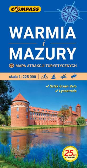
Warmia i Mazury – mapa atrakcji turystycznych
Mapa samochodowo-krajoznawcza, przedstawia obszar województwa warmińsko-mazurskiego. Zasięg mapy wyznaczają: granica polsko-rosyjska na północy, Elbląg na zachodzie, Ostrołęka na południu i Grajewo na wschodzie. Warmia i Mazury to region o niezwykłej różnorodności przyrodniczej, unikalnym ukształtowaniu terenu i dużym nagromadzeniem zabytków historycznych. Niniejsze wydawnictwo to ogólna mapa poglądowa rozległego obszaru, jakim są Warmia i Mazury. Dedykowana jest zwłaszcza turystom zmotoryzowanym. Przedstawiono na niej aktualną sieć dróg, wybraną bazę noclegową oraz propozycje najciekawszych atrakcji regionu. Wśród nich znajdują się: zamki, pałace, kościoły, muzea, zabytki techniki, obiekty militarne, cuda przyrody, wyróżniające się miejsca widokowe i panoramy. Mapę offline można zakupić w aplikacji Traseo na urządzenia mobilne. Rok wydania 2022