


Szybki LopezSzybki_Lopez
Charakterystyka trasy
2021-06-03
Bondary

Długość trasy:
236 kmSuma przewyższeń:
742 mSuma spadków:
737 mOcena trasy:
1.5/6Komentarze
NA TYCH TRASACH PRZYDA CI SIĘ MAPOPRZEWODNIK LUB MAPA Z NASZEJ APLIKACJI
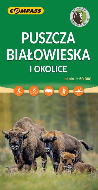
MAPA TURYSTYCZNA W APLIKACJI TRASEO
Białowieża Forest
Białowieża Forest is one of the last and largest remaining parts of the immense primeval forest that once stretched across the European Plain. It straddles the border between Poland (Podlaskie Voivodeship) and Belarus (Brest and Grodno voblasts), and is 70 kilometres north of Brest, Belarus and 62 kilometres southeast of Białystok, Poland. The forest is home to 800 European bison, Europe's heaviest land animal. The forest has been designated a UNESCO World Heritage Site and an EU Natura 2000 Special Area of Conservation.