


Andrzej | アンドレイandrzej.aa
Charakterystyka trasy
2014-05-04
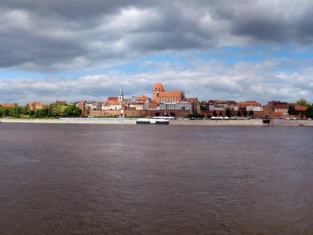
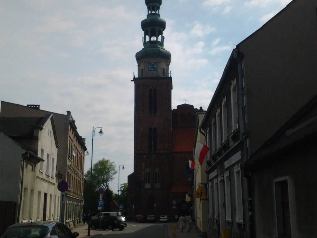
Toruń

Długość trasy:
66 kmSuma przewyższeń:
86 mSuma spadków:
86 mŚredni czas potrzebny na pokonanie trasy:
6 h 43 minOcena trasy:
4.4/6Komentarze
NA TYCH TRASACH PRZYDA CI SIĘ MAPOPRZEWODNIK LUB MAPA Z NASZEJ APLIKACJI
MAPA TURYSTYCZNA W APLIKACJI TRASEO
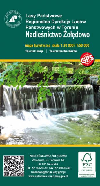
Nadleśnictwo Żołędowo
Mapa ukazująca najciekawsze zakątki terenów bezpośrednio stykających się z Bydgoszczą. Swoim zasięgiem obejmuje obszar od Świekatowa na północy do bydgoskiego lotniska im. F. Chopina na południu, Równoleżnikowo rozciąga się zaś od wschodnich rogatek Nakła nad Notecią na zachodzie aż za Dąbrowę Chełmińską na wschodzie. Mapa składa się z dwóch płacht: jedna to mapa płd-zach części Nadleśnictwa Żołędowo w skali 1:30 000, druga zaś obejmuje mapę części płn-wsch w skali 1:50 000. Dokładna informacja leśna zapewni bezproblemowe poruszanie się po terenie nadleśnictwa, łatwe odnajdywanie się w terenie (choćby za pomocą numerów słupków oddziałowych). Na mapie umieszczono także liczne ciekawostki turystyczno-krajoznawcze oraz oczywiście aktualne i weryfikowane przebiegi szlaków i tras turystycznych.

MAPA TURYSTYCZNA W APLIKACJI TRASEO
Ziemia Chelmińska - Kraina gotyku
Aktualizowana w terenie mapa krajoznawcza Ziemi Chełmińskiej. Na mapie zaznaczono w postaci ikon najważniejsze atrakcje turystyczne regionu. Mapa obejmuje swym zasięgiem Chełmno, Toruń, Chełmżę, Świecie, Grudziądz, Golub-Dobrzyń oraz Bydgoszcz. Rok wydania 2017

MAPA TURYSTYCZNA W APLIKACJI TRASEO
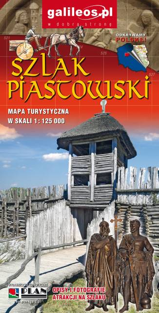
Szlak Piastowski
Mapa turystyczna Szlaku Piastowskiego, który przebiega przez województwa: wielkopolskie i kujawsko-pomorskie. Mapa została zaktualizowana w terenie, zostały na niej uwzględnione wszelkie niezbędne informacje turystyczno-krajoznawcze oraz informacje praktyczne. Rok Wydania 2017