


Charakterystyka trasy

Komentarze
NA TYCH TRASACH PRZYDA CI SIĘ MAPOPRZEWODNIK LUB MAPA Z NASZEJ APLIKACJI

Mapa powiatu kaliskiego ze wszystkimi potrzebnymi turyście informacjami. Zaznaczono szlak kulinarny Kaliskie Smaki, szlak Kościołów Drewnianych Ziemi Kaliskiej i szlaki Dębów i Paproci oraz wszystkie inne szlaki turystyczne i rowerowe.
Rok wydania: 2017

Mapa Opola i okolic obejmuje obszar województwa w skali 1:190 000. Mapa zawiera aktualny przebieg dróg wraz z numeracją, odległości drogowe, granice powiatów i gmin ponadto stacje paliw, hotele, parkingi, zabytki, zaznaczono wszystkie miejscowości. Mapa oprócz województwa obejmuje też pogranicze i obszar Wrocławia. Na obu mapach wkreślono współrzędne geograficzne zgodne z GPS. Opracowanie obejmuje także plan Opola w skali 1:20 000, widoczny po odpowiednim zbliżeniu.
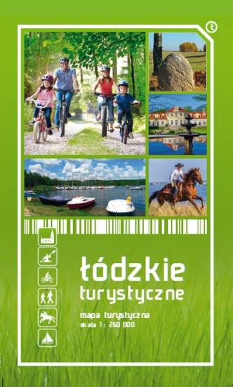
Mapa województwa łódzkiego, na której zaznaczono miejscowości, drogi, tereny leśne, parki krajobrazowe, zabytki, kościoły, zabytki, ośrodki aktywności konnej i wodnej oraz główne szlaki rowerowe. Kolorem żółtym wyróżniono miejsca i miejscowości warte odwiedzenia.