


Ryszardrychocyclo
Charakterystyka trasy
2021-06-28
Soraga

Długość trasy:
59 kmSuma przewyższeń:
2030 mSuma spadków:
1937 mŚredni czas potrzebny na pokonanie trasy:
8 h 8 minOcena trasy:
1.3/6Komentarze
NA TYCH TRASACH PRZYDA CI SIĘ MAPOPRZEWODNIK LUB MAPA Z NASZEJ APLIKACJI
MAPA TURYSTYCZNA W APLIKACJI TRASEO
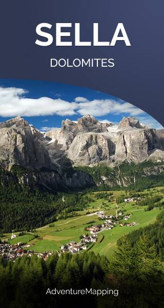
Sella Group
The Sella group is a plateau-shaped massif in the Dolomites mountains of northern Italy. The Sella lies north of the Marmolada and to the east of the Langkofel. The highest peak is Piz Boè at 3,151 m above sea level. The Sella lies between the four Ladin valleys of Badia, Gherdëina, Fascia, and Fodom and is divided between the provinces of South Tyrol, Trentino and Belluno. It can be driven around by car crossing the Campolongo Pass, Pordoi Pass, Sella Pass, and Gardena Pass. In winter it is possible to ski around the entire massif by using the Sella Ronda ski lift carousel. (wikipedia.com)
MAPA TURYSTYCZNA W APLIKACJI TRASEO
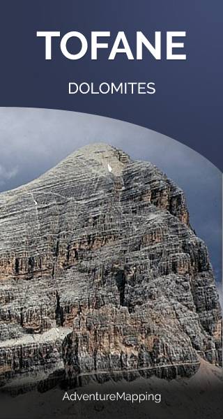
Tofane
Tofane is a mountain group in the Dolomites of northern Italy, west of Cortina d'Ampezzo in the province of Belluno, Veneto. Most of the Tofane lies within Parco naturale delle Dolomiti d'Ampezzo, a nature park. The highest peaks of the Tofane group are Tofana di Mezzo (3,244 m), Tofana di Dentro (3,238 m), and Tofana di Rozes (3,225 m). Tofana di Mezzo is the third highest peak in the Dolomites, after Marmolada and Antelao.
MAPA TURYSTYCZNA W APLIKACJI TRASEO
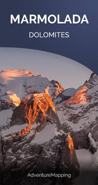
Marmolada
Marmolada is a mountain in northeastern Italy and the highest mountain and one of the most popular tourist destination of the Dolomites. It lies between the borders of Trentino and Veneto. The mountain is located about 100 kilometres north-northwest of Venice, from which it can be seen on a clear day. On the north side there is a comparatively flat glacier, the only large glacier in the Dolomites.