category-icon

Passo Costalunga & Nigra & Lavaze

108 km
8 h 27 min
2944 m
2952 m
Soraga
no photo

Charakterystyka trasy

2021-07-01
Soraga
category-icon
Długość trasy:
108 km
Suma przewyższeń:
2944 m
Suma spadków:
2952 m
Średni czas potrzebny na pokonanie trasy:
8 h 27 min
Ocena trasy:
1.3/6

Komentarze

NA TYCH TRASACH PRZYDA CI SIĘ MAPOPRZEWODNIK LUB MAPA Z NASZEJ APLIKACJI
Langkofel
MAPA TURYSTYCZNA W APLIKACJI TRASEO
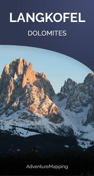
Langkofel
The Langkofel (3,181m) is the highest mountain of the Langkofel Group in the Dolomites in South Tyrol, Italy. The name translates to "long peak". It stands over the Ladin community of Val Gardena.
Rosengarten Group
MAPA TURYSTYCZNA W APLIKACJI TRASEO
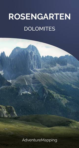
Rosengarten Group
The Rosengarten group is a massif in the Dolomites of northern Italy. It is located between the Tierser Tal and Eggental in South Tyrol and the Fassa Valley in Trentino.
Latemar
MAPA TURYSTYCZNA W APLIKACJI TRASEO
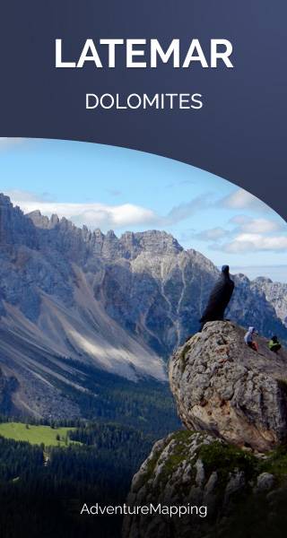
Latemar
The Latemar is a mountain in the Dolomites on the border between South Tyrol and Trentino, Italy. It is the westernmost mountain of the Dolomites and is a popular hiking destination. It is best known for its view from the Karersee lake. (wikipedia.com)
Marmolada
MAPA TURYSTYCZNA W APLIKACJI TRASEO
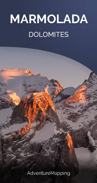
Marmolada
Marmolada is a mountain in northeastern Italy and the highest mountain and one of the most popular tourist destination of the Dolomites. It lies between the borders of Trentino and Veneto. The mountain is located about 100 kilometres north-northwest of Venice, from which it can be seen on a clear day. On the north side there is a comparatively flat glacier, the only large glacier in the Dolomites.