
Andrzej | アンドレイandrzej.aa
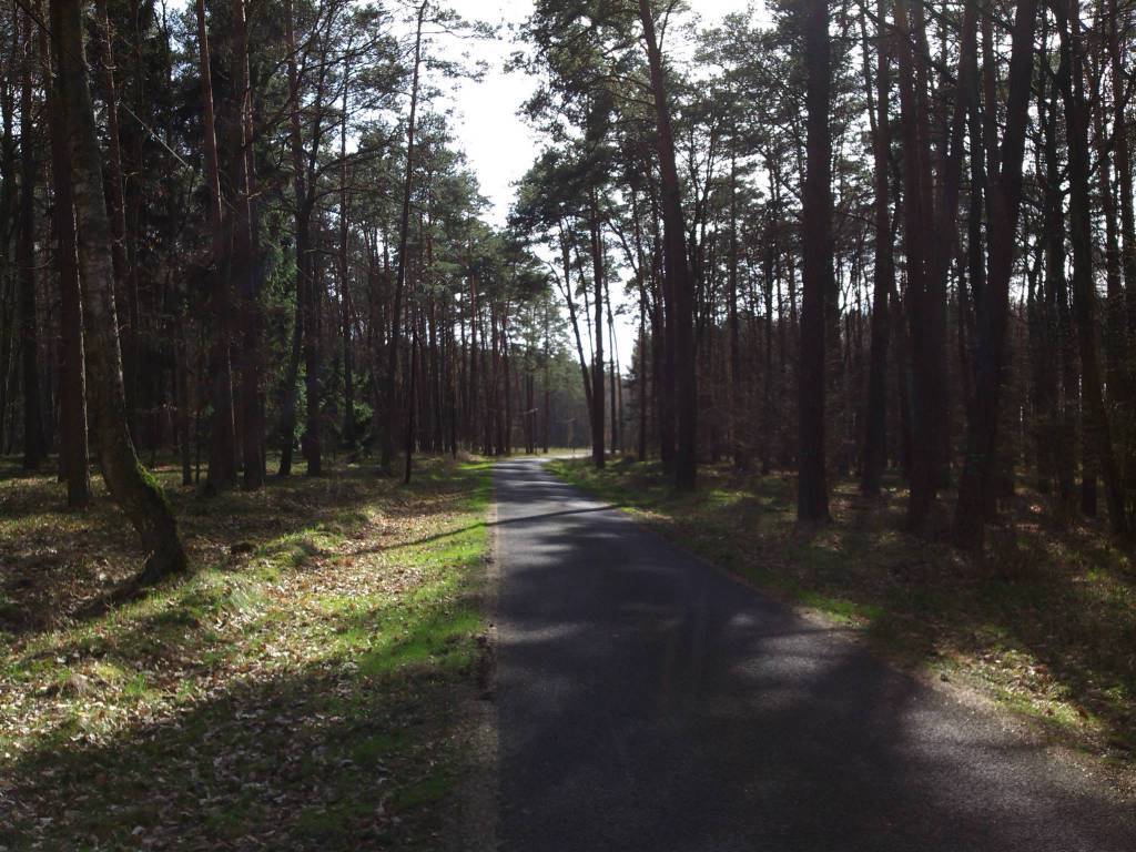
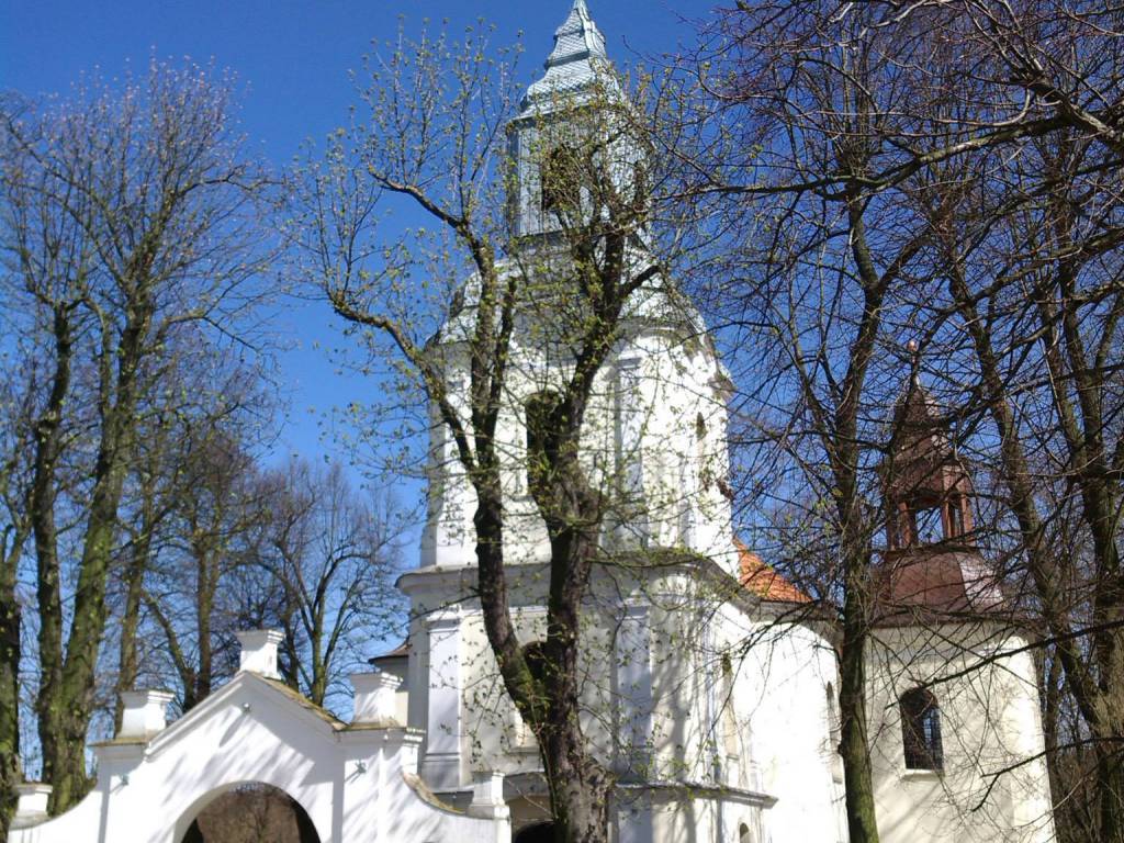
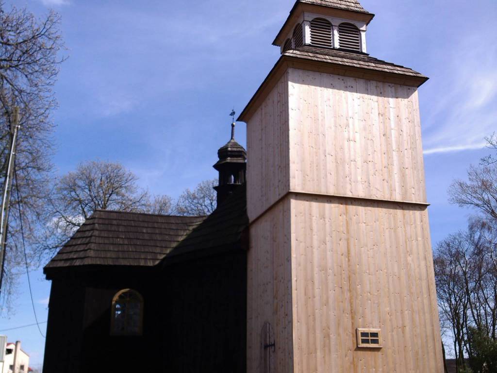
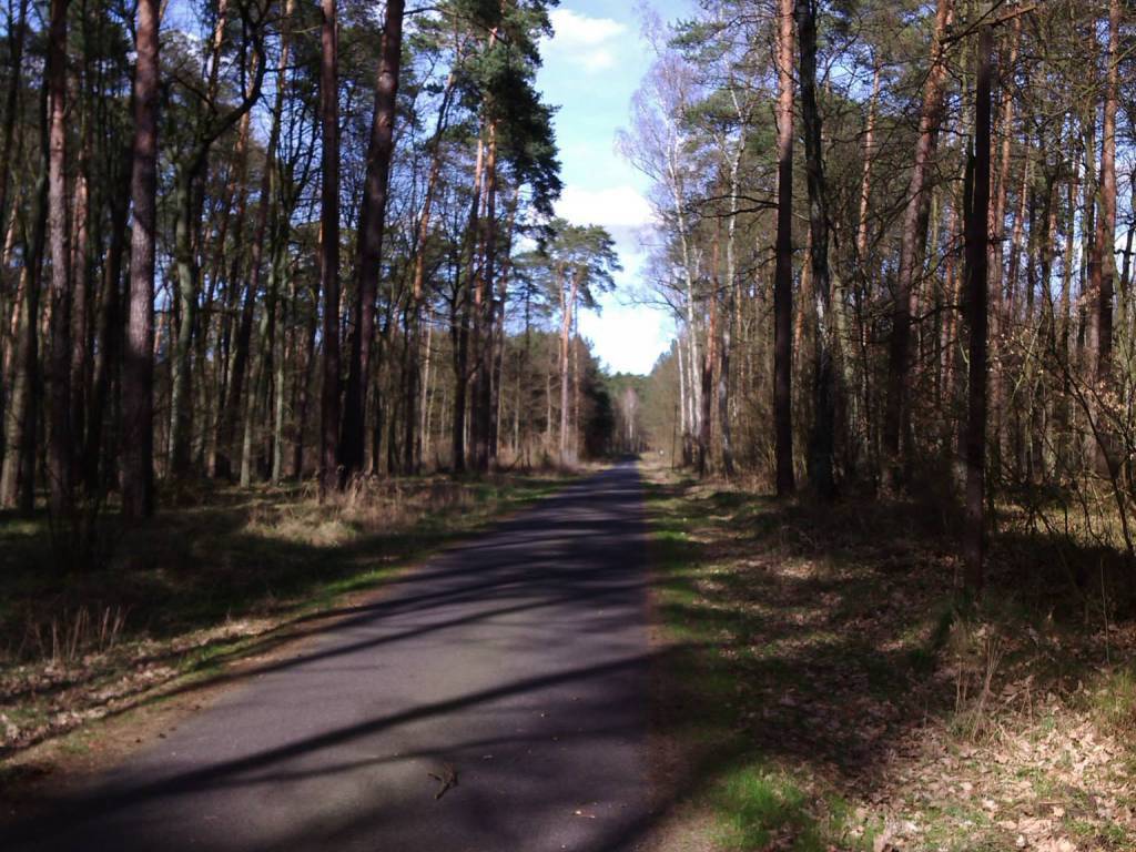
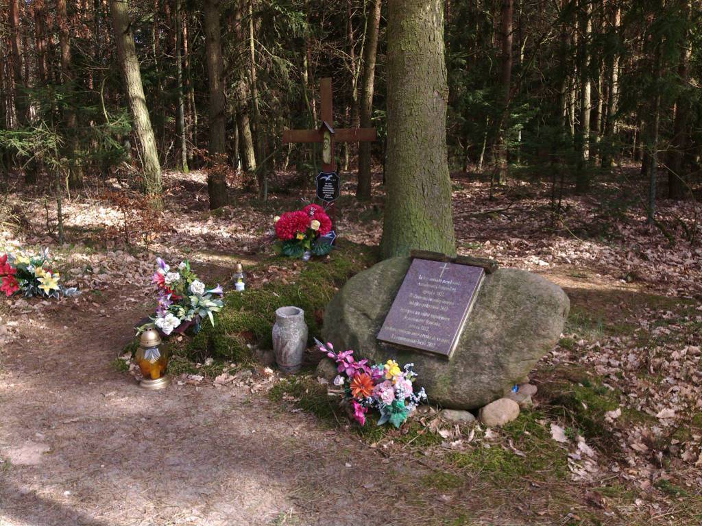
Charakterystyka trasy
2015-04-12
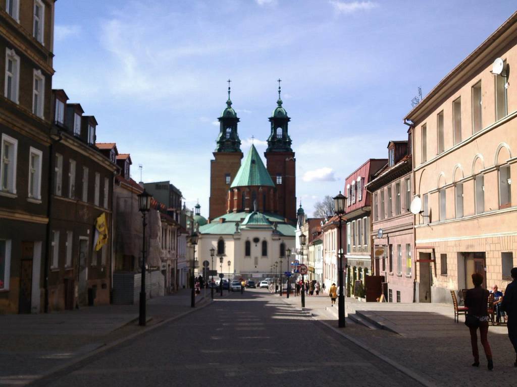
Pakość

Długość trasy:
130 kmSuma przewyższeń:
214 mSuma spadków:
224 mŚredni czas potrzebny na pokonanie trasy:
6 h 39 minOcena trasy:
3.9/6Komentarze
NA TYCH TRASACH PRZYDA CI SIĘ MAPOPRZEWODNIK LUB MAPA Z NASZEJ APLIKACJI


MAPA TURYSTYCZNA W APLIKACJI TRASEO
Pojezierze Powidzkie
Mapa "Pojezierze Powidzkie" obejmuje powiat słupecki i okolice, wraz z Powidzkim i Nadwarciańskim Parkiem Krajobrazowym oraz przepięknym opactwem cysterskim w Lądzie. Zaznaczono na niej informacje przydatne turyście, oraz podano przebiegi szlaków pieszych i rowerowych.
MAPA TURYSTYCZNA W APLIKACJI TRASEO
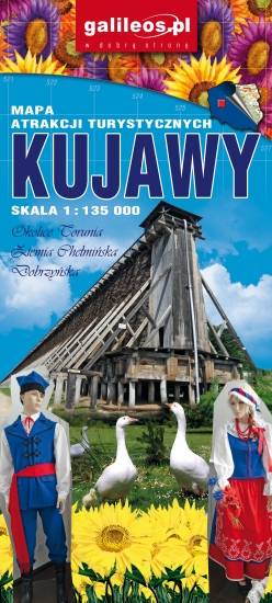
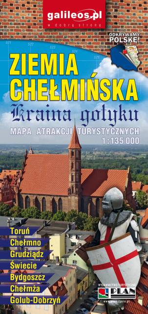
Ziemia Chelmińska - Kraina gotyku
Aktualizowana w terenie mapa krajoznawcza Ziemi Chełmińskiej. Na mapie zaznaczono w postaci ikon najważniejsze atrakcje turystyczne regionu. Mapa obejmuje swym zasięgiem Chełmno, Toruń, Chełmżę, Świecie, Grudziądz, Golub-Dobrzyń oraz Bydgoszcz. Rok wydania 2017