NUMER SZLAKU W SERWISIE www.WedrujzNami.pl: P/R-DJ-ZP-0605
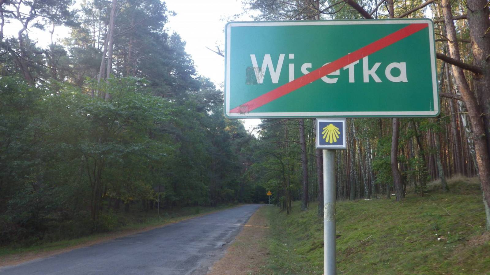
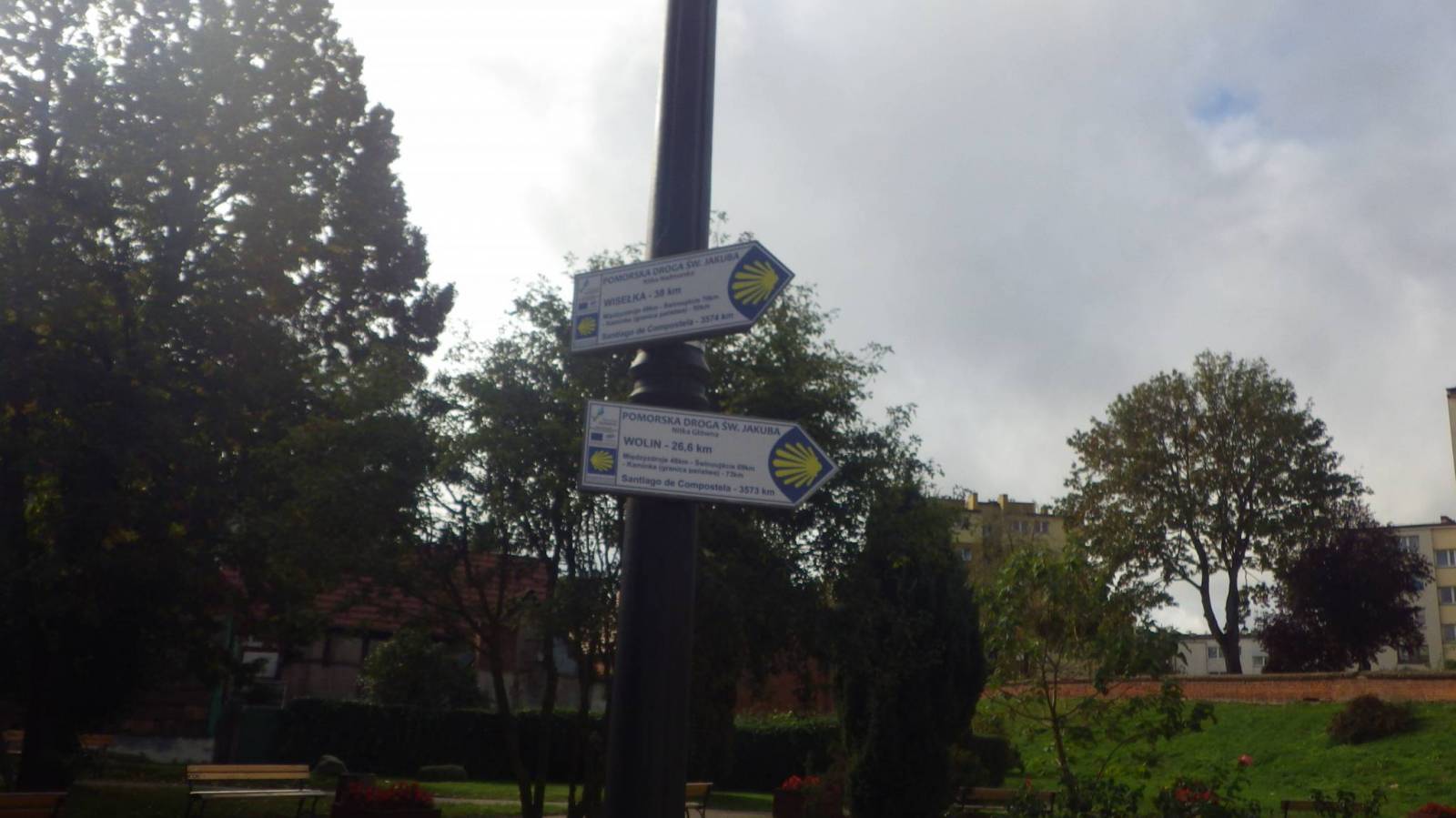
PRZEBIEG SZLAKU: KAMIEŃ POMORSKI katedra - Dziwnówek - Dziwnów - Kołczewo - Wisełka - MIĘDZYZDROJE (dyrekcja WPN)
NAZWA SZLAKU: Zachodniopomorska Droga Świętego Jakuba - nitka Nadmorska
POWIAT: Kamieński
GMINA: Kamień Pomorski, Dziwnów, Wolin, Międzyzdroje
NAWIERZCHNIE: droga szutrowa utwardzona, asfalt, drogi utwardzone, drogi gruntowe
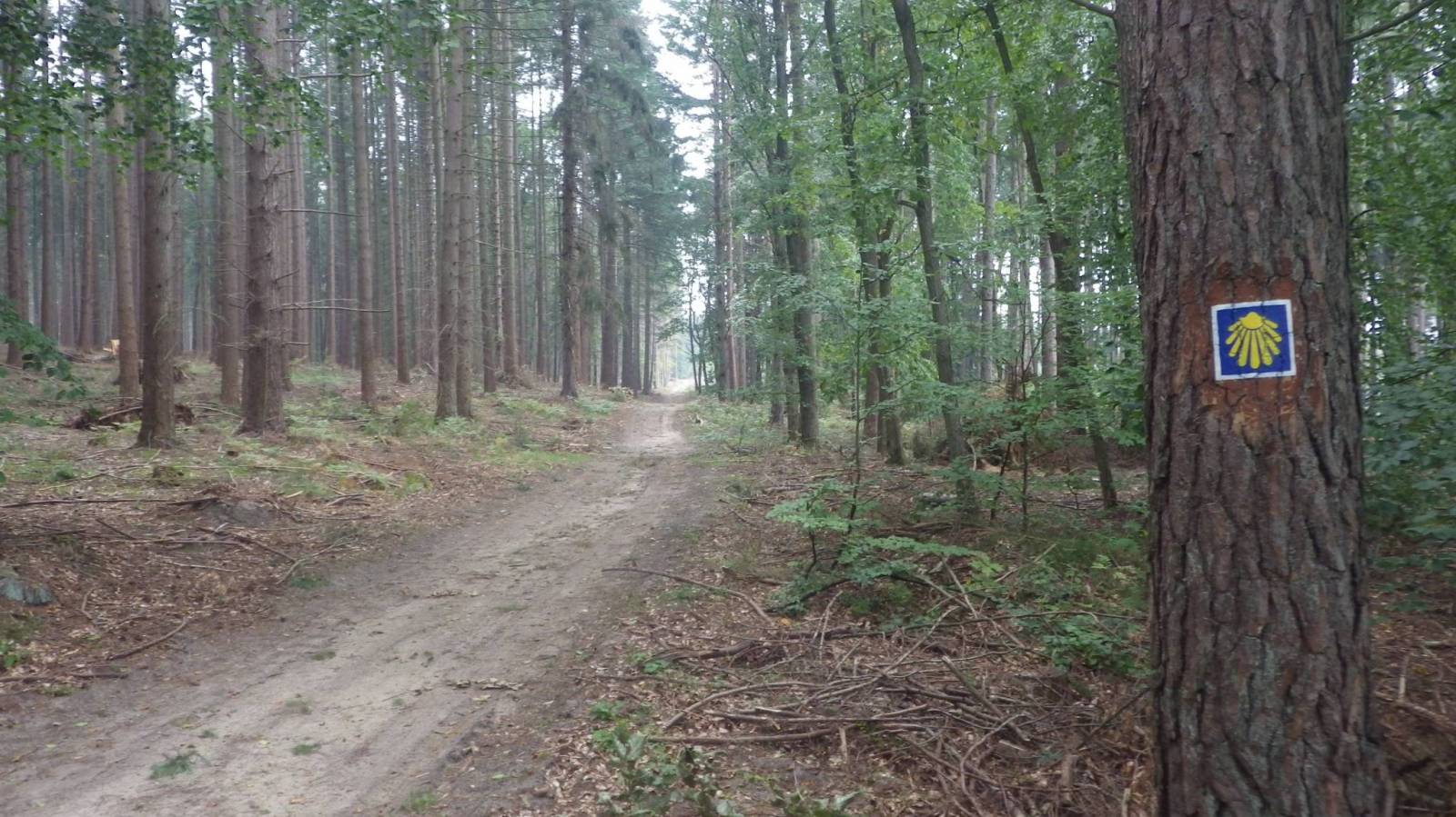
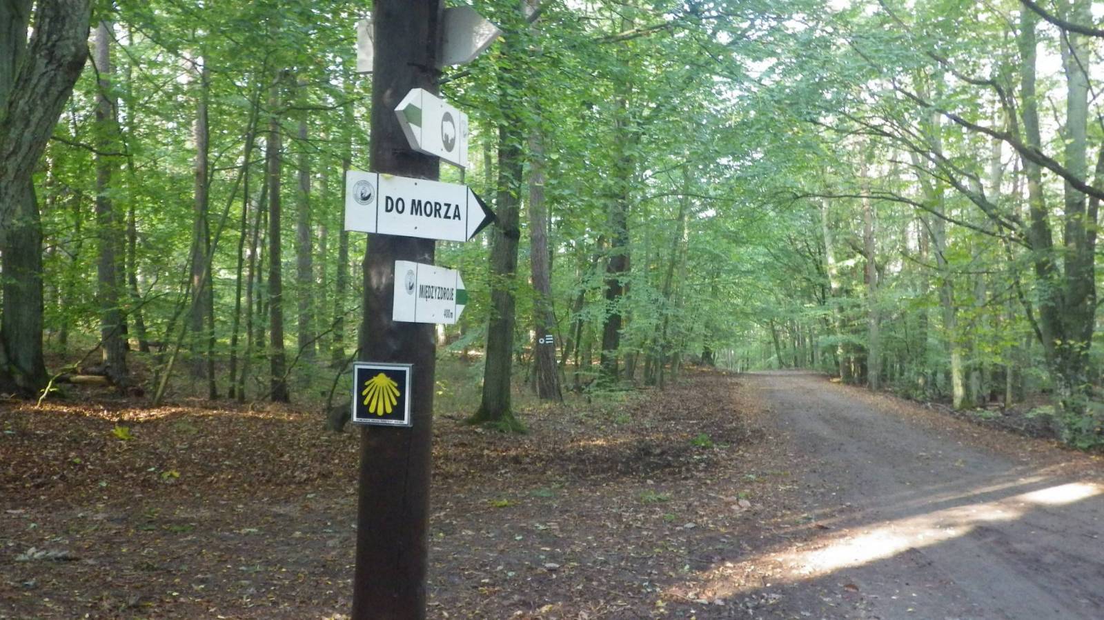
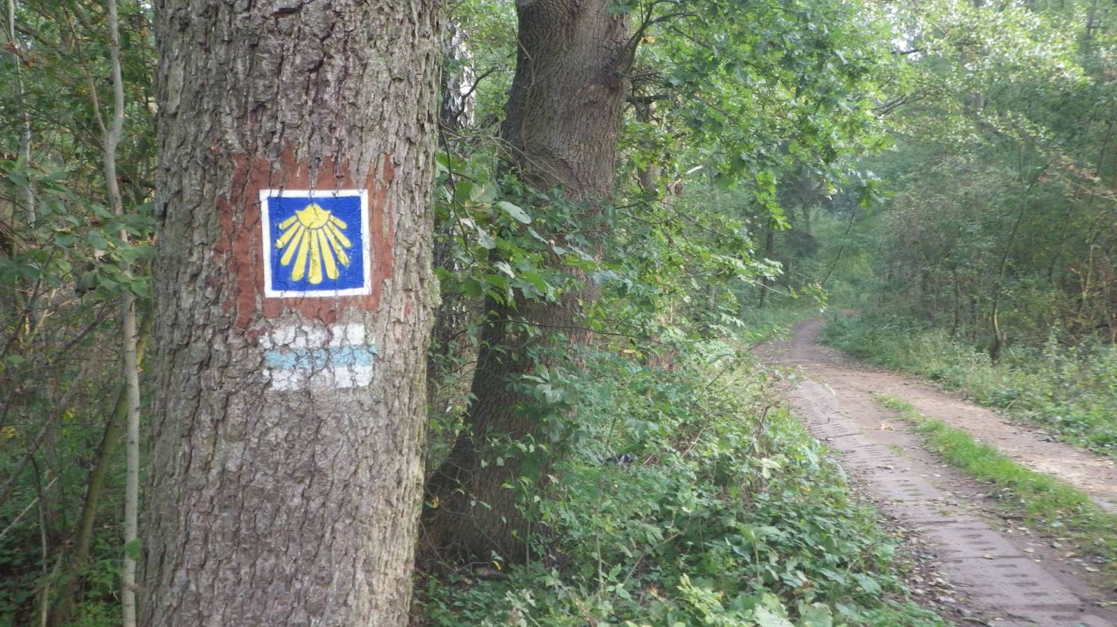
KOLOR: żółta muszla na niebieskim tle, z białą lamówką
Szczegółowy opis Pomorskiej Drogi Świętego Jakuba - https://www.wedrujznami.pl/szlakijakubowe
Pełna informacja o Pomorskiej Drodze Świętego Jakuba na stronie projektu - http://www.przewodnik.re-create.pl/
Jeśli znasz szlak, a nie ma go w naszym rejestrze, prosimy o przesłanie pliku .gps oraz kilku słów o szlaku, zdjęć, abyśmy stworzyli jego wizytówkę. A jak masz czas, zapraszamy do stworzenia opisu szlaku, według naszego systemu. Szlaki są dla wszystkich i musimy je promować wspólnie.
Komentarze
NA TYCH TRASACH PRZYDA CI
SIĘ MAPOPRZEWODNIK LUB MAPA Z NASZEJ APLIKACJI
MAPA TURYSTYCZNA W APLIKACJI TRASEO
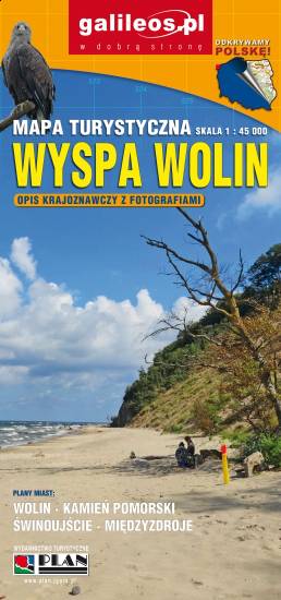
Wolin Island
Wolin is a name of the Polish island in the Baltic Sea, just off the Polish coast. Administratively the island belongs to the West Pomeranian Voivodeship in Poland. Most of the island consists of forests and postglacial hills. In the middle is the Wolin National Park. The island is a main tourist attraction of northwestern Poland, and it is crossed by several specially marked tourist trails.
MAPA TURYSTYCZNA W APLIKACJI TRASEO
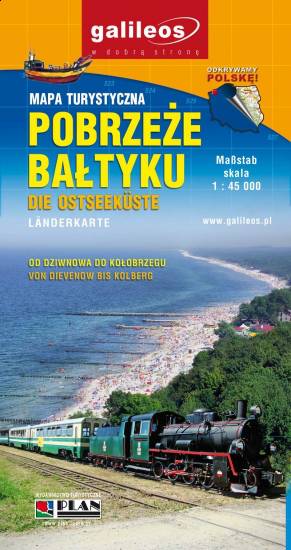
Baltic Coast
The map covers the area of Polish Baltic coast from Kamień Pomorski to Kołobrzeg, it presents also part of the Kamieński Lagoon. Tourist attractions, walking and cycling trails are marked on the map.