

Charakterystyka trasy

Komentarze
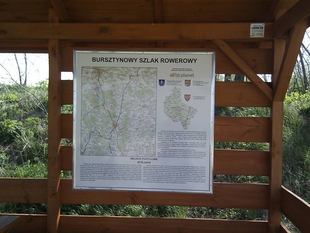
NA TYCH TRASACH PRZYDA CI SIĘ MAPOPRZEWODNIK LUB MAPA Z NASZEJ APLIKACJI
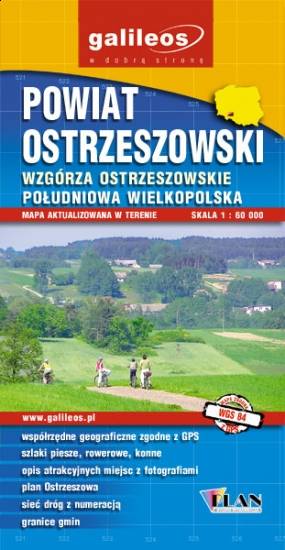
Mapa turystyczna Powiatu Ostrzeszowskiego, zawiera sieć dróg z numeracją, granice gmin.Na mapie zaznaczono informacje przydatne turyście, jak zabytki, noclegi, granice obszarów chronionych. W miejscowościach opisano nazwy ulic. Podano przebiegi szlaków pieszych i rowerowych. Ukształtowanie terenu pokazano przy pomocy warstwic o cięciu co 10 m.

Mapa powiatu kaliskiego ze wszystkimi potrzebnymi turyście informacjami. Zaznaczono szlak kulinarny Kaliskie Smaki, szlak Kościołów Drewnianych Ziemi Kaliskiej i szlaki Dębów i Paproci oraz wszystkie inne szlaki turystyczne i rowerowe.
Rok wydania: 2017
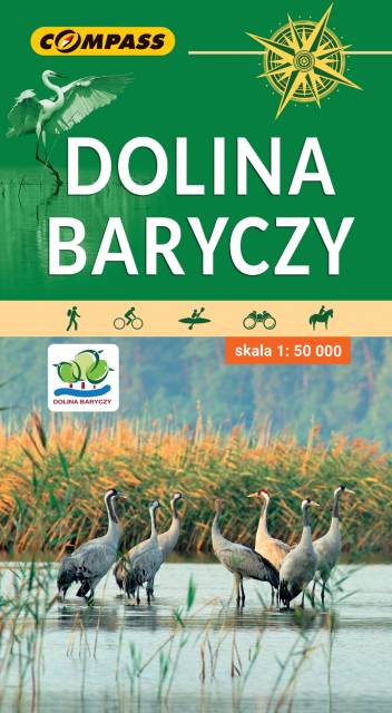
Mapa obejmuje cały obszar Parku Krajobrazowego Doliny Baryczy oraz tereny przyległe. Zasięg mapy wyznaczają: Ostrów Wielkopolski na północy, Twardogóra na południu, Rawicz na zachodzie i Mikstat na wschodzie. Jest to obszar wyjątkowo atrakcyjny przyrodniczo. Znajduje się tu największy w Europie kompleks sztucznych stawów rybnych. Stawy Milickie to również największy w Polsce rezerwat ornitologiczny. Ptasi raj przyciąga rzesze obserwatorów. Uprawianie birdwatchingu umożliwiają liczne wieże i czatownie. Bogate, a przy tym mało znane jest także dziedzictwo kulturowe tego obszaru. Osobliwością są szachulcowe kościoły, domy z rudy darniowej czy zabytkowe jazy. Skala mapy pozwoliła na dokładne naniesienie dróg, ścieżek, szlaków pieszych, rowerowych, kajakowych, dydaktycznych i spacerowych. Mapę offline można zakupić w aplikacji Traseo na urządzenia mobilne. Rok wydania 2022
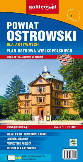
Mapa powiatu ostrowskiego w skali 1:70 000, w skład którego wchodzą gminy: Ostrów Wielkopolski, Nowe Skalmierzyce, Odolanów, Raszków, Przygodzice, Sieroszewice, Sośnie. Szczególnie atrakcyjne miejsca zaznaczono żółtą ramką. Podano aktualne przebiegi szlaków pieszych, rowerowych i dydaktycznych, łącznie z kilometrażem, co pozwala łatwiej zaplanować wycieczkę. Za pomocą wyraźnych, charakterystycznych znaków wskazano miejsca, gdzie można aktywnie spędzić wolny czas. Na mapie zaznaczono miejscowości, drogi, lokalizację obwodnicy Ostrowa Wielkopolskiego, zabytki, ważniejsze noclegi, łowiska, stadniny koni, parki linowe, przystanie żeglarskie, korty tenisowe, strzelnice sportowe, hale sportowe oraz kąpieliska i baseny. Ukształtowanie terenu pokazano przy pomocy warstwic o cięciu co 10 m. Obszar mapy ograniczony jest współrzędnymi 17°25’ - 18°14’ długości geograficznej wschodniej oraz 51°24’-51°48’ szerokości geograficznej północnej.
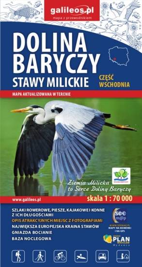
Mapa wschodniej części Doliny Baryczy obejmuje obszar od Radziądza do Antonina. Jest to obszar ograniczony współrzędnymi 16°58’ - 17°55’ długości geograficznej wschodniej oraz 51°15’-51°40’ szerokości geograficznej północnej. Mapa została zaktualizowana w terenie. Na mapie zostały zaznaczone wszystkie szlaki piesze, rowerowe, konne i kajakowe oraz ścieżki przyrodnicze i edukacyjne z podaniem ich długości. Mapa zawiera atrakcje przyrodnicze i bazę noclegową oraz jako ciekawostkę gniazda bocianie.

Mapa obejmuje obszar Dolnośląskiej Krainy Rowerowej, czyli obszar pow. górowskiego, pow. trzebnickiego, pow. milickiego oraz gmin: Wołów, Twardogóra i Dobroszyce. Zaznaczono tu wszystkie szlaki piesze, rowerowe, konne i kajakowe oraz ścieżki przyrodnicze i edukacyjne. Szczególnie zostały uwypuklone drogi rowerowe istniejące, w budowie i planowane. Mapa zawiera atrakcje turystyczne, przyrodnicze i bazę noclegową. Dodatkowo zostały zaznaczone miejsca przyjazne rowerzystom. Część opisowa zilustrowana fotografiami, obejmuje obszar mapy w podziale na regiony, wybrane szlaki rowerowe oraz krótką charakterystykę miejsc przyjaznych rowerzystom.