


Charakterystyka trasy

Komentarze
NA TYCH TRASACH PRZYDA CI SIĘ MAPOPRZEWODNIK LUB MAPA Z NASZEJ APLIKACJI
The map presents part of Baltic coast in Western Pomerania, in Poland, including Wolin Island, part of Uznam Island and Gryfice Plain. The map range: Świnoujście to the west, Wolin to the south, Kamień Pomorski to the east. Walking, cycling and canoeing trails are marked on the map, as well as tourist attractions.
Update: 2017
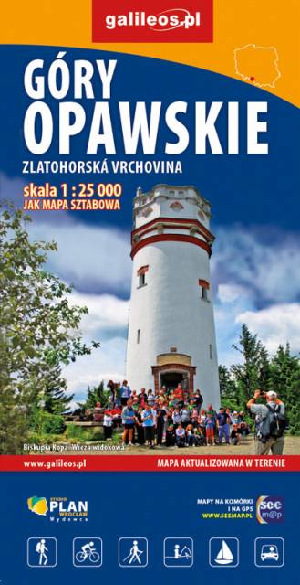
The Opawskie Mountains are a mountain range in the Eastern Sudetes. They stretch from northern Czech Silesia into Polish Upper Silesia, the eastern continuation of the Golden Mountains range.The Polish part of the range includes a protected area known as the Opawskie Mountains Landscape Park. It is named after the Opava River with its source in the neighbouring Hrubý Jeseník range. On the map in detailed scale tourist attractions, cycling and walkig trails, and educational trails are marked.
Update: 2017
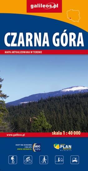
Mapa Czarnej Góry i okolic. Zakres mapy ograniczony jest miejscowościami: Stronie Śląskie, Bystrzyca Kłodzka, Międzylesie i Stare Miasto w Czechach. Znajduje się tu popularny ośrodek narciarski. Na mapie zaznaczono szlaki piesze i rowerowe (z długościami), konne, a także ścieżki przyronicze. Jest oznaczona baza noclegowa i gastronomiczna.
Mapa została wydana jdunie w formie cyfrowej – brak dostępnej wersji papierowej.
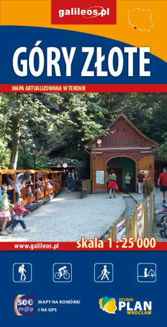
Szczegółowa mapa turystyczna Gór Złotych z uwzględnieniem atrakcji, zabytków, noclegów, gastronomii oraz innych miejsc przydatnych turyście. Zawiera wszystkie znakowane szlaki turystyczne piesze, rowerowe, ścieżki dydaktyczne wraz z kilometrażem. Obejmuje swym zasięgiem pasmo Gór Złotych oraz takie miejscowości jak Paczków, Javornik, Złoty Stok, Lądek Zdrój, Stronie Śląskie.
Rok wydania: 2018