


Charakterystyka trasy

Komentarze
NA TYCH TRASACH PRZYDA CI SIĘ MAPOPRZEWODNIK LUB MAPA Z NASZEJ APLIKACJI
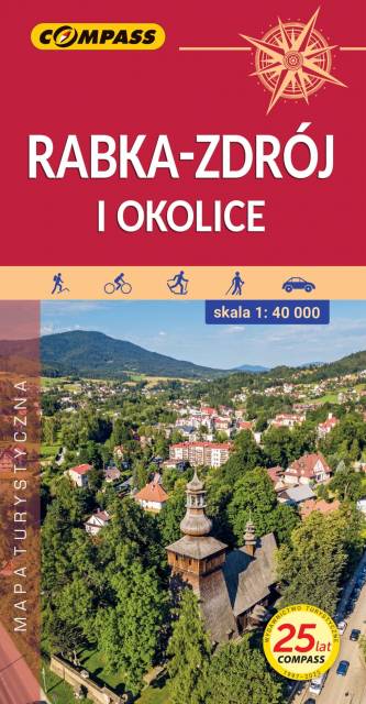
Mapa przedstawia okolice Rabki-Zdroju od Mszany Dolnej na północy, przez Jurków i Ochotnicę Górną na wschodzie po Nowy Targ na południu, Sidzinę i Podwilk na zachodzie.
Rabka-Zdrój, położona w północnej części Gorców, w dolinie rzeki Raby, znana jest przede wszystkim ze swojej funkcji uzdrowiskowej. Stanowi również dobre miejsce wypadowe w Beskid Wyspowy oraz pasmo Gorców i Gorczański Park Narodowy. Jest to atrakcyjny teren na piesze i rowerowe wycieczki. Okolice Rabki-Zdroju to również ciekawe pod względem krajoznawczym miejsca z zabytkową architekturą drewnianą i murowaną oraz muzeami. Rok wydania 2024
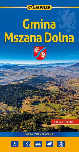
Mapa gminy Mszana Dolna obejmuje obszar zamknięty przez Rabkę-Zdrój na zachodzie, Jurków na wschodzie, Pcim na północy oraz przedmieścia Nowego Targu na południu. Na mapie znalazł się spory fragment Gorczańskiego Parku Narodowego, zostały tu zaznaczone szlaki turystyczne wraz z podanym czasem przejścia i kilometrażem, wędrówkę ułatwiają także poziomice. Z myślą o turystach naniesiono także lokalizacje zabytków oraz atrakcji turystycznych.
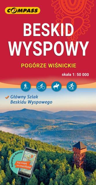
Mapa w wersji elektronicznej, którą można otworzyć jako jeden z podkłądów offline w aplikacji mobilnej Traseo. Mapa wydawnictwa compass obejmuje zasięgiem Beskid Wyspowy oraz Pogórze Wiśnickie i wschodnią część Pogórza Wielickiego. Od północy ogranicza ją Brzesko i Bochnia, na południu Rabka i Stary Sącz, na zachodzie - Jordanów, a na wschodzie - Nowy Sącz. To świetna alternatywa dla mapy drukowanej. Rok wydania: 2023