Olsztyn (0.0 km) • Olsztyn-Dajtki (4.5 km) • Gronity (8.0 km) • Naterki (10.3 km) • Sząbruk (13.4 km) • Unieszewo (15.6 km) • Łajsy (19.5 km) • Gietrzwałd (23.0 km) • Woryty (24.9 km) • Worliny (31.6 km) • Wynki (34.1 km) • Kątno (45.8 km) • Stare Jabłonki (48.3 km)
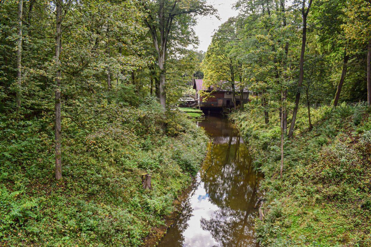
The route is very attractive due to its varied terrain. Along the way, you’ll pass through Gietrzwałd, known for its Marian shrine. Near the trail, the Forest Arboretum in Kudypy and the Ostoja Bobrów Nature Reserve on the Pasłęka River are worth visiting.
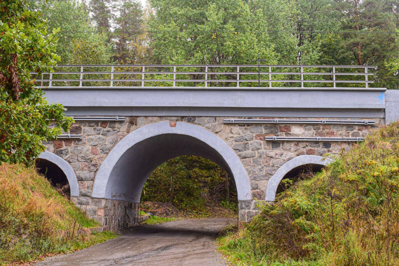
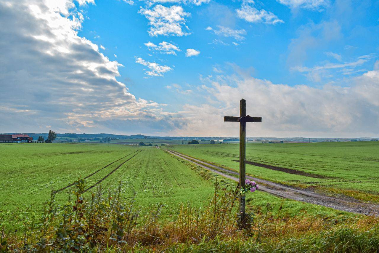
To reach the red trail from downtown Olsztyn, follow the bike path along Robert Schuman Avenue. We begin the trip in the Dajtki district of Olsztyn, at the intersection of Żytnia and Żniwna Streets, near the Church of Our Lady of the Rosary, dating from the turn of the 19th and 20th centuries. Initially, we head down Żniwna Street, which leads through a neighborhood of single-family homes. As we leave the built-up area, the paved road turns into a gravel path. We pass under a railroad overpass and turn right. The next section of the trail leads through the Kudypskie Forests. In Gronity, at a fork in the road, there is a cross dedicated to French prisoners of war who lost their lives between 1871 and 1873 during the construction of the railroad embankment on the Olsztyn–Ostróda line. Here you can take a detour (about 2.8 km) to visit the Kudyp Forest Arboretum (see p. 131). Along the way, you’ll pass a wayside shrine likely erected to commemorate the victims of the plague. From Kudypy, return along the same road to Gronit (you can also take the paved road directly to Naterki).
From Gronit, we head out along Naterska Street. Its extension, after crossing the Olsztyn bypass, is Diamentowa Street in Naterki, a town known for the 18-hole Mazury Golf and Country Club. In the center of the village, on Na Rozdrożu Square, there are large shelters named “Parlament” and “Sejmik.” It’s a wonderful place to rest.
We continue along an asphalt road through the forest to Sząbruk and then take a road with light traffic toward Unieszewo. Past Unieszewo, we turn right at the first intersection, near the wayside shrine, and in Cegłów, before the railroad tracks, we turn left toward Łajs. We ride around the grounds of a former noble estate and head north. We cross the railroad tracks and continue along the paved road straight to Gietrzwałd.
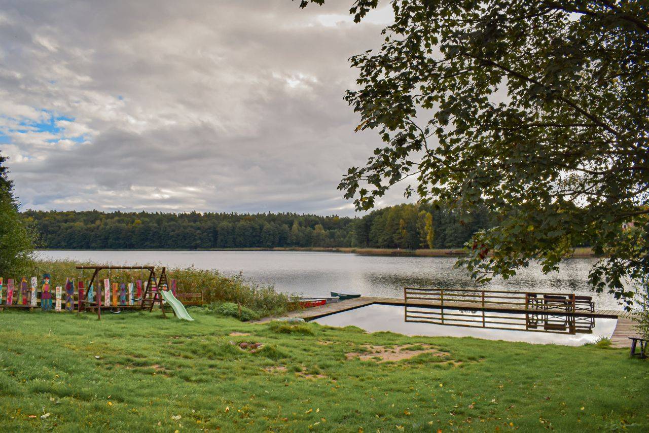
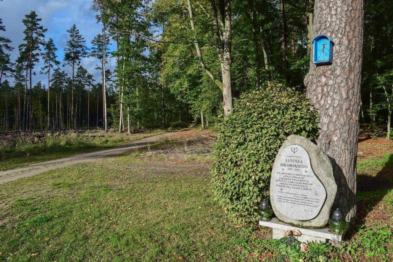
After passing Gietrzwałd, we climb a steep incline along the Warmian Scenic Avenue toward Woryt. Here, a gravel forest road begins, which we follow until we reach Provincial Road No. 531. We turn right, cross the bridge over the Pasłęka River along this road (the Ostoja Bobrów Nature Reserve on the Pasłęka River, see p. 130), and continue toward Worlin; however, before reaching that village, we turn left onto the first paved road, following the sign for “Wynki 2.” On the left, we pass Lake Łoby, which has a small beach with a pier. This is a good place to rest. Along the road stand 19th- and 20th-century wayside shrines and an obelisk dedicated to those who fell in 1945. Leaving Wynki, we turn left at the fork in the road. We head through the forest to the summer resort village of Kątno, situated on the eastern shore of Lake Szeląg Wielki. Then, following the paved road and crossing National Road No. 16, we reach Stare Jabłonki. After the railroad crossing, we turn right toward the train station. A little further on, by the road, there is a World War II bunker.
The “Flying Pines” of Stare Jabłonki
Stare Jabłonki began to develop in the 20th century as a tourist destination featuring guesthouses, vacation resorts, and restaurants. In the 1930s, the pines from the surrounding forests were recognized for their value by the German aviation industry. That is why they came to be called “aviation pines.” For many local residents, working on their logging provided the main source of income.
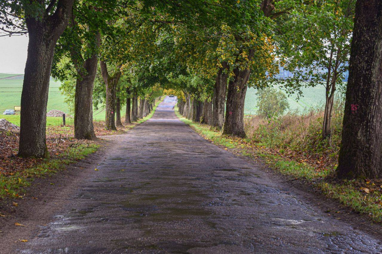
The route has a very good surface and avoids roads with heavy traffic. However, it features some steep descents and ascents, so we recommend tackling it on a touring, hybrid, or mountain bike. The trail is marked in red.
It’s worth planning a rest stop in Gronity, where there is a tourist shelter, and on the unguarded beach with a pier in Wynki. In Gietrzwałd, you can take advantage of the offerings at the Pilgrim House, the School and Recreation Center of the Friends of the Shrine of Our Lady of Gietrzwałd Foundation, as well as the Karczma Warmińska inn. In Olsztyn, there are two train stations (the Olsztyn Zachodni station is closer to the start of the route) and several train stops (the Dajtki stop is the closest). You can also easily reach the starting point by taking city buses 107 and 113. There are also train stations in the towns of Naterki and Unieszewo, located along the route, as well as in Stare Jabłonki, where the suggested trip ends.
Sząbruk
In the center of the village stands a late-Gothic church dating from around 1500, which was expanded in the early 20th century. Its interior is adorned with polychrome decorations from 1510. In front of the church stands a monument commemorating the residents who fell during World War I; next to it are plaques providing information about the village.
Łajsy
The village still features buildings from a noble estate that existed here as early as the 18th century and was owned by the Polish families of Jankowski, Zabienski, and Orłowski. The estate included a farmstead and a brickyard. A Neo-Renaissance palace built between 1881 and 1882 is visible from the road.
Gietrzwałd
The village is dominated by a church dating from the late 15th century. The oldest artifact in its interior is a Gothic wooden Pietà from 1425. On a side wall of the old part of the church hangs a 17th-century painting of the Holy Family. The church was partially rebuilt in 1877, at which time its floor plan took on the shape of a Roman cross. Among the church’s furnishings, the most famous is a painting depicting the Virgin Mary with the Child Jesus. Its solemn coronation took place in 1967, attended by Cardinal Stefan Wyszyński and Cardinal Karol Wojtyła. In 1970, the church was elevated to the status of a minor basilica. Gietrzwałd is a well-known site of apparitions of the Virgin Mary. It is worth noting that these are the only apparitions in Poland whose authenticity has been confirmed by the Catholic Church. The apparitions began on June 27, 1877, when 13-year-old Justyna Szafrańska, who was preparing to receive her First Holy Communion, saw the Virgin Mary for the first time on a maple tree growing next to the church. Justyna’s friend, 12-year-old Barbara Samulowska, also experienced the apparitions. The girls saw the Mother of God many more times.
On September 8, the Beautiful Lady blessed a nearby spring and instructed the girls to pray the Rosary every day. Their last encounter with her took place on September 16, 1877. Soon afterward, the first sick people began to experience healings at the site of the apparitions. Today, in front of the church, at the site of the apparitions, there is a small shrine with a statue of the Mother of God. The tradition of praying the Rosary daily is still observed today. Across from the church stands the house of Andrzej Samulowski, marked by a commemorative plaque.
Woryty
The village has preserved its architectural style characteristic of Warmia. The original, historic red-brick buildings have roofs sloping at a 45-degree angle, covered with red ceramic tiles. The buildings are most often arranged with their ridges facing the road.
Ostoja Bobrów Nature Reserve on the Pasłęka River
The protected areas include the Pasłęka River and Lake Isąg, along with the adjacent forests and riparian zones. The reserve was established to protect beavers. It is the largest nature reserve in the Warmian-Masurian Voivodeship.
Kudypy Forest Arboretum
Arboretum Kudypy 4, 11-036 Gietrzwałd, tel. 89 527 90 90, www.kudypy.olsztyn.lasy.gov.pl is a botanical garden showcasing a diverse collection of trees. Its grounds are divided into sections: Polish flora (with about 300 species of native trees and shrubs), a collection area (with over 700 tree species), and a natural forest—the most interesting section from a natural history perspective, featuring a centuries-old forest with monumental trees. An interesting educational attraction is the geological lapidarium, a collection of stones and erratic boulders. The on-site Education Center features a nature corner that showcases the beauty of the Kudypskie Forests, their vegetation, and the animals that inhabit them. The rest of the center houses historical exhibits related to the work of foresters and a geological exhibition.
The arboretum is closed from November through April.