Charakterystyka trasy
Komentarze
NA TYCH TRASACH PRZYDA CI SIĘ MAPOPRZEWODNIK LUB MAPA Z NASZEJ APLIKACJI
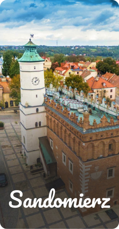
There are few places on the map of Poland with a soul, where people with a passion find the power of inspiration to creat and find meaning in life. In Sandomierz, plans and dreams come true, and time becomes relative. During your visit, you can part take in a number of "cozy leisures", the most popular of which are themed walks around the city. Planned tours will allow you to discover what is interesting, hidden, and not obvious to the naked eye. Sandomierz, thanks to its unique ambience, is an ideal proposal for a trip at any time of the year.
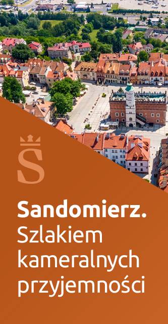
We invite you to discover Sandomierz. The Trail of Cozy Leisure.
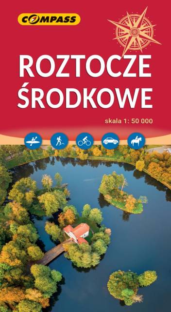
Roztocze is a range of hills in east-central Poland and western Ukraine which rises from the Lublin Upland and extends southeastward through Solska Wilderness and across the border into Ukrainian Podolia. It is approximately 180 km long and 14 km wide. Its highest peak within Poland is Wielki Dział at 390 meters. Polish Roztocze lies in the Lublin and Podkarpackie voivodships. In 2011 UNESCO established the Roztochya Biosphere Reserve. The Polish portion of the range makes up the Roztocze National Park.
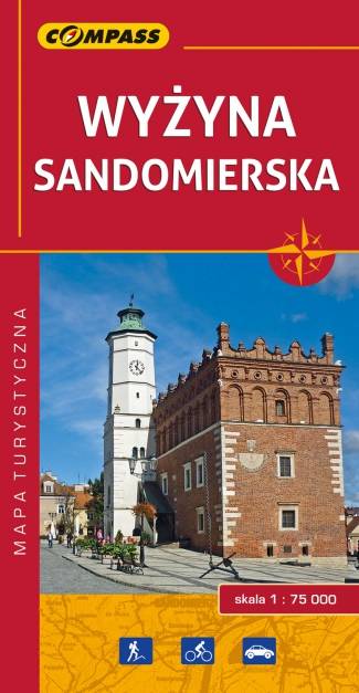
Mapa Wyżyny Sandomierskiej przedstawia ziemię sandomierską - historyczną krainę Polski położoną między Pilicą a Wisłą oraz między Sanem a Dunajcem. Zasięg mapy wyznaczają: Józefów nad Wisłą na północy, Gnojno na zachodzie, Nowa Dęba na południu i Zaleszany na wschodzie. Obszar mapy obejmuje: Ostrowiec Świętokrzyski, Opatów, Sandomierz, Staszów, Tarnobrzeg.
Głównym ośrodkiem tego regionu był i nadal jest Sandomierz - miasto położone nad rzeką Wisłą, na siedmiu wzgórzach (stąd nazywane jest czasem "małym Rzymem"), na granicy Wyżyny Sandomierskiej. Sandomierz jest ważnym ośrodkiem turystycznym, bogatym we wspaniałe zabytki z różnych okresów historycznych.
Rok wydania: 2016