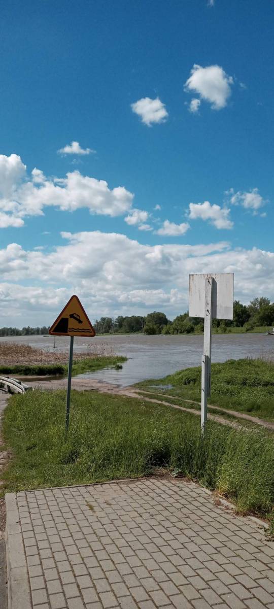
Trasa częściowo prowadzi po wale przeciwpowodziowym, częściowo zaś asfaltem, a w okolicach Czerwieńska ścieżką rowerową. Dość łatwa i raczej płaska.
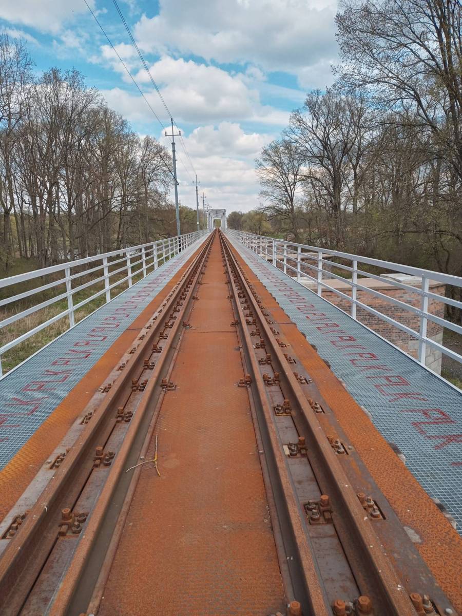
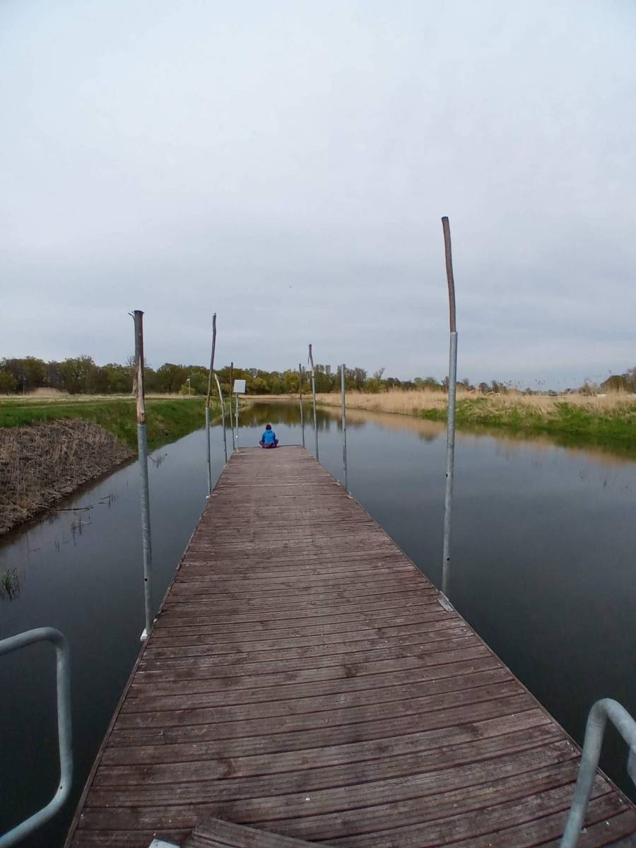
Po drodze kilka bunkrów, kolejowe mosty, przeprawa promowa w Pomorsku i przede wszystkim Zielonogórski Las Odrzański.
Opis wycieczki na: https://wloczykijlubuski.wordpress.com/
Komentarze
NA TYCH TRASACH PRZYDA CI
SIĘ MAPOPRZEWODNIK LUB MAPA Z NASZEJ APLIKACJI
MAPA TURYSTYCZNA W APLIKACJI TRASEO
Pojezierze Sławskie
Turystyczna mapa Pojezierza Sławskiego z aktualnymi szlakami pieszymi, rowerowymi i kajakowymi. Obszar mapy zawiera się pomiędzy Zieloną Górą a Lesznem obejmując obszar m.in. Przemęckiego Parku Krajobrazowego.
MAPA TURYSTYCZNA W APLIKACJI TRASEO
Ziemia Lubuska
Mapa krajoznawcza województwa lubuskiego z wyszczególnionymi atrakcjami turystycznymi. Na mapie umieszczono grafiki atrakcji turystycznych.