

Roman Majewiczromciu
Charakterystyka trasy
2018-07-20
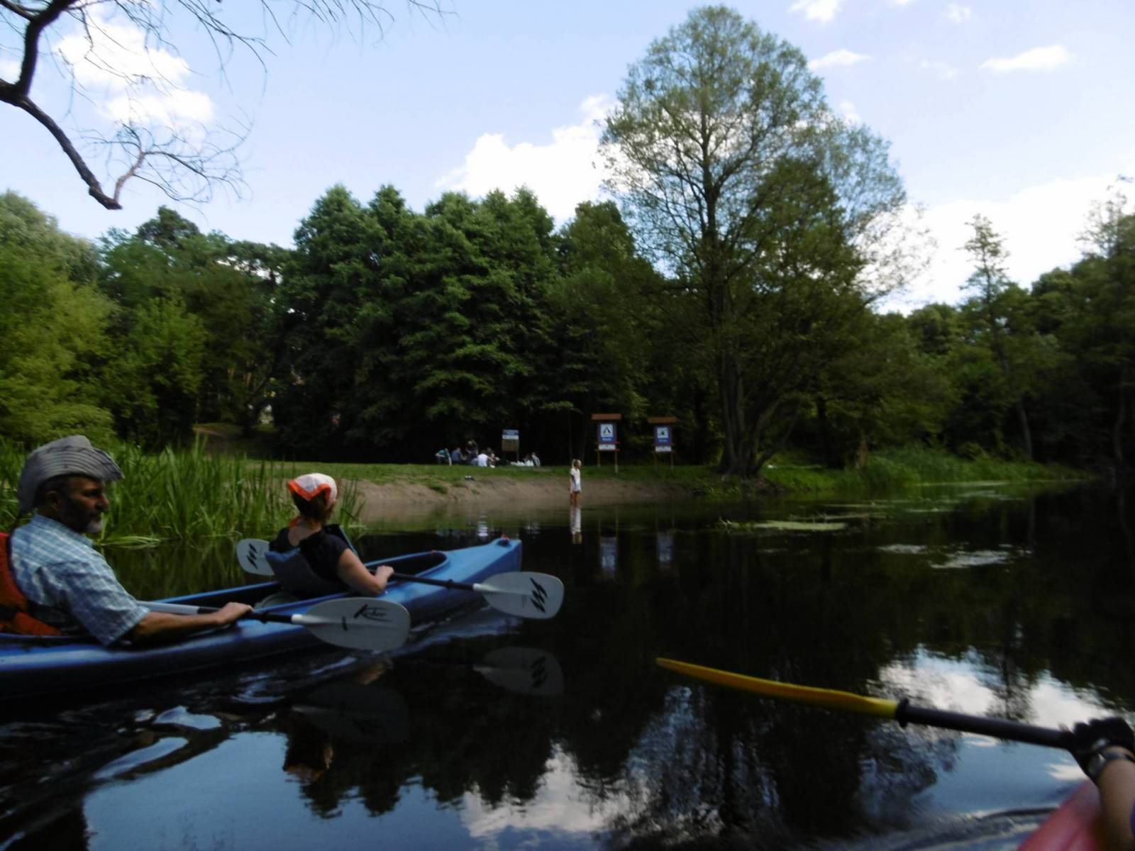
Międzyrzecz

Długość trasy:
20 kmSuma przewyższeń:
365 mSuma spadków:
368 mŚredni czas potrzebny na pokonanie trasy:
5 h 13 minOcena trasy:
4.1/6Komentarze
NA TYCH TRASACH PRZYDA CI SIĘ MAPOPRZEWODNIK LUB MAPA Z NASZEJ APLIKACJI

MAPA TURYSTYCZNA W APLIKACJI TRASEO
Międzyrzecki Rejon Umocniony. Pojezierze Łagowskie
Aktualizowana w terenie mapa Pojezierza Łagowskiego i Międzyrzeckiego Rejonu Umocnionego. Na mapie umieszczono aktualne szlaki piesze i rowerowe oraz rozrysowany schemat odcinka centralnego umocnień Międzyrzeckich.
