


Charakterystyka trasy

Komentarze
NA TYCH TRASACH PRZYDA CI SIĘ MAPOPRZEWODNIK LUB MAPA Z NASZEJ APLIKACJI
Mapa obejmuje obszar Gór Bardzkich z miastami: Bardo, Kłodzko, Ząbkowice Śląskie oraz Srebrna Góra. Dzięki dokładnej skali 1:25 000 wszystkie szlaki piesze i rowerowe mają podane długości oraz czas przejścia szlaków pieszych. Na mapie znajdują się również informacje praktyczne i turystyczne przydatne turystom: zabytki, noclegi, punkty gastronomiczna, granice obszarów chronionych i rezerwatów. Ciekawe obiekty wyróżniono kolorem żółtym. Mapa przygotowana tylko dla urządzeń cyfrowych – brak dostępnej wersji papierowej.
Mapa Czarnej Góry i okolic. Zakres mapy ograniczony jest miejscowościami: Stronie Śląskie, Bystrzyca Kłodzka, Międzylesie i Stare Miasto w Czechach. Znajduje się tu popularny ośrodek narciarski. Na mapie zaznaczono szlaki piesze i rowerowe (z długościami), konne, a także ścieżki przyronicze. Jest oznaczona baza noclegowa i gastronomiczna.
Mapa została wydana jdunie w formie cyfrowej – brak dostępnej wersji papierowej.
Mapa turystyczna Gór Stołowych w skali 1:30 000, zaktualizowana w terenie. Na mapie oznaczono czasy przejść. Znajdziemy tu szlaki turystyczne, rowerowe i piesze oraz najważniejsze informacje o charakterze turystycznym, a także informacje praktyczne. Rok wydania 2021
Mapa turystyczna Gór Stołowych przedstawia niezwykle malowniczy zakątek SUdetów. Góry Stołowe położone są w Sudetach Środkowych, na styku z Sudetami Wschodnimi. Mapa przedstawia obszar zamknięty na zachodzie przez czeski Hronov, na południu Duszniki-Zdrój, na wschodzie Szalejów Górny oraz na północy Police. Na mapie również czeskie Góry Stołowe: Adršpašsko-teplické skály i Broumovské stěny. Rok wydania 2023
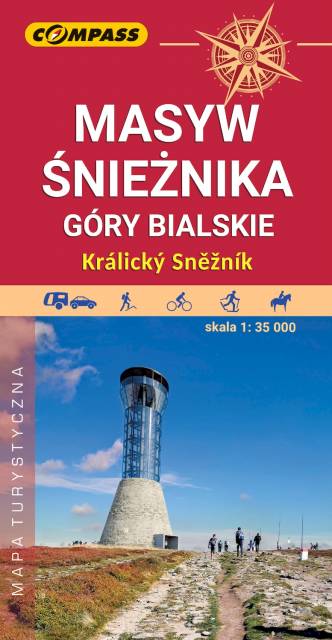
Mapa Masywu Śnieżnika przedstawia jedno z wyższych w Sudetach pasm górskich, które zamyka od południa Kotlinę Kłodzką. Zaliczamy je do Sudetów Wschodnich. Zasięg mapy wyznaczają: Bystrzyca Kłodzka na północnym-zachodzie, Międzylesie na południowym-zachodzie oraz Jindrichov na południowym-wschodzie. Obszar mapy obejmuje: Masyw Śnieżnika z najwyższym szczytem Śnieżnikiem (1426 m n.p.m.), Góry Bialskie, Kralicky Sneznik, częściowo także Rychlebske hory i Góry Złote oraz miasto Stronie Śląskie.
Duże zróżnicowanie krajobrazowe, doskonałe zagospodarowanie turystyczne podszczytowego rejonu Śnieżnika z jednej strony i „dzikość” Gór Bialskich z drugiej – to najlepsze atuty tego obszaru. Pobyt w tym regionie z pewnością miło wspominać będą nie tylko turyści piesi, ale także miłośnicy narciarstwa, jazdy rowerowej i konnej, wspinacze skałkowi oraz wędkarze. Rok wydania 2023
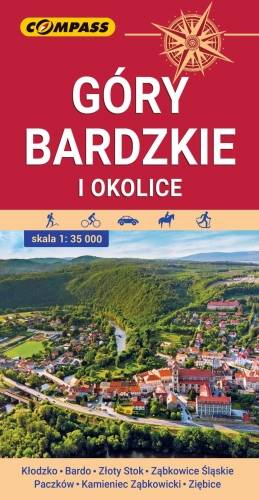
Mapa przedstawia najdalej na wschód wysunięte pasmo górskie w Sudetach Środkowych, a także dodatkowo część Gór Sowich i Gór Złotych. Zasięg mapy wyznaczają: Ząbkowice Śląskie na północy, Ołdrzychowice Kłodzkie i Złoty Stok na południu, Wolibórz na zachodzie i Paczków na wschodzie. Na mapie znalazły się także plany miast: Kłodzko centrum, Bardo, Złoty Stok, Ząbkowice Śląskie, Paczków, Kamieniec Ząbkowicki, Ziębice. Na mapie zastosowano cieniowanie w celu uzyskania wrażenia plastyczności rzeźby terenu. Mapę offline można zakupić w aplikacji Traseo na urządzenia mobilne. Rok wydania 2021