NA TYCH TRASACH PRZYDA CI
SIĘ MAPOPRZEWODNIK LUB MAPA Z NASZEJ APLIKACJI
MAPA TURYSTYCZNA W APLIKACJI TRASEO
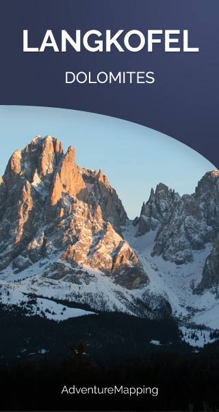
Langkofel
Langkofel (3,181m), inaczej Sasso Lungo, co znaczy Długa Góra – masyw górski w Dolomitach pomiędzy dolinami Val Gardena i Val di Fassa, w pobliżu miejscowości Wolkenstein i Campitello di Fassa.