category-icon

Niebieska - Matki Bożej Rokitniańskiej 2.0

14 km
57 m
20 m
Polska, lubuskie, Skwierzyna - Rokitno
no photo

Charakterystyka trasy

2024-09-20
Polska, lubuskie, Skwierzyna - Rokitno
category-icon
Długość trasy:
14 km
Suma przewyższeń:
57 m
Suma spadków:
20 m
Ocena trasy:
1.7/6
Przemarsz na trasie z Skwierzyny do Rokitna będziemy realizować następującymi drogami.
ul. Plebańska – ul. Niepodległości – ul. Przemysłowa - ul. Dębowa – ul. Nowa Skwierzyńska – skręcamy w prawo i idziemy pod górę w kierunku Chełmskiej Góry – w Chełmsku kierujemy się
w kierunku Twierdzielewa – po przejściu górą wiaduktu nad drogą krajową nr 24, skręcamy w lewo
i idziemy drogą gruntową równoległą do wspomnianej drogi krajowej – po dojściu do zakrętu skręcamy w prawo i idziemy dalej drogą gruntową poprzez pola i las do Rokitna.

Komentarze

NA TYCH TRASACH PRZYDA CI SIĘ MAPOPRZEWODNIK LUB MAPA Z NASZEJ APLIKACJI
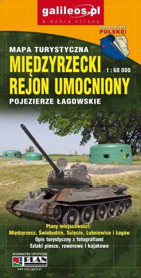
Międzyrzecz Fortification Region. Łagów Lakeland
MAPA TURYSTYCZNA W APLIKACJI TRASEO
Międzyrzecz Fortification Region. Łagów Lakeland

Międzyrzecz Fortification Region was a fortified military defence line of Nazi Germany between the Oder and Warta rivers. Built in 1934–44, it was the most technologically advanced fortification system of Nazi Germany, and remains one of the largest and the most interesting systems of this type in the world today. It consists of around 100 concrete defence structures partially interconnected by a network of underground tunnels. Some of the forts and tunnels are available for visiting. The map presents the central part of the defence line. Cycling and walking trails are also marked.

Lubusz Land
MAPA TURYSTYCZNA W APLIKACJI TRASEO
Lubusz Land

The map covers the Lubusz Voivodeship in western Poland. Monuments, cycling and walking trails and other information useful for tourists are marked on the map. Most interesting places are depicted with coloured graphic symbols.

Miejscowości na trasie