


Charakterystyka trasy

Komentarze
NA TYCH TRASACH PRZYDA CI SIĘ MAPOPRZEWODNIK LUB MAPA Z NASZEJ APLIKACJI
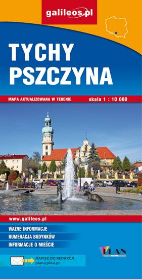
Mapa Pszczyny, Tych i okolic ograniczony jest przez Oświęcim na wschodzie i Żory na zachodzie, południowa część mapy to Jezioro Goczałkowickie. Na mapie zaznaczono informacje przydatne turyście i podano przebiegi szlaków pieszych i rowerowych. Wyróżniono miejscowości godne zwiedzania i miejsca szczególnie interesujące aktywnych.
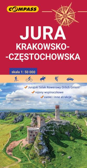
Jura Krakowsko-Częstochowska to wyjątkowy i niepowtarzalny region w naszym kraju. Może poszczycić się ogromną liczbą różnorodnych skał i ostańców, oplecionych siecią dróg wspinaczkowych. Jej podziemny świat tworzą tysiące jaskiń oraz grot. Ukształtowanie terenu z wąwozami, płaskowyżami i łagodnymi wzgórzami, bogactwo zabytków oraz zagospodarowanie korzystnie wpływają na rozwój turystyki. Niezmiernie istotna jest gęsta sieć szlaków turystycznych, które umożliwiają dogodne dotarcie do wszystkich najciekawszych zakątków. Nie brakuje tu licznych stadnin i ośrodków jeździeckich, umożliwiających uprawianie turystyki konnej.
Mapa Jury Krakowsko-Częstochowskiej łączy Kraków z Częstochową a jej zasięg wyznaczają: Mstów na północy, Częstochowa i Trzebinia na zachodzie, Siewierz i Alwernia na południu oraz Kraków na wschodzie. Rok wydania 2024
Mapa turystyczna Beskidu Śląskiego, Żywieckiego i Małego - zostały zaznaczone na niej najpotrzebniejsze dla turystów informacje: przebiegi szlaków i atrakcje turystyczne. Z mapy można korzystać będąc offline, po zakupie wybiera się ją jako jeden z podkładów mapowych, widać pozycję użytkownika na mapie. To świetna alternatywa dla map drukowanych. Rok wydania: 2018
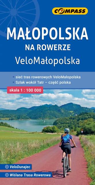
Tym sposobem rozróżniono: