


Charakterystyka trasy
2011-04-20
Polska, lubuskie, Nowa Sól

Długość trasy:
67 kmSuma przewyższeń:
190 mSuma spadków:
190 mŚredni czas potrzebny na pokonanie trasy:
2 h 59 minOcena trasy:
1.2/6Komentarze
NA TYCH TRASACH PRZYDA CI SIĘ MAPOPRZEWODNIK LUB MAPA Z NASZEJ APLIKACJI


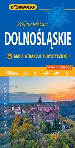
MAPA TURYSTYCZNA W APLIKACJI TRASEO
Województwo Dolnośląskie - mapa atrakcji turystycznych
Wybrać około 100 atrakcji z tego regionu to niezwykle trudne zadanie. Miejsc szczególnych, wartych odwiedzenia jest tutaj znacznie więcej. Subiektywnego wyboru dokonał – opierając się na doświadczeniu jako pilota wycieczek, przewodnika turystycznego i górskiego – Waldemar Brygier (naszesudety.pl). Wśród polecanych atrakcji: zamki, pałace, muzea, skanseny, kopalnie, twierdze, osobliwości przyrody, uzdrowiska i wiele innych. Zapraszamy do lektury! Mapę offline można zakupić w aplikacji Traseo na urządzenia mobilne. Rok wydania 2019