


Charakterystyka trasy

Komentarze
NA TYCH TRASACH PRZYDA CI SIĘ MAPOPRZEWODNIK LUB MAPA Z NASZEJ APLIKACJI
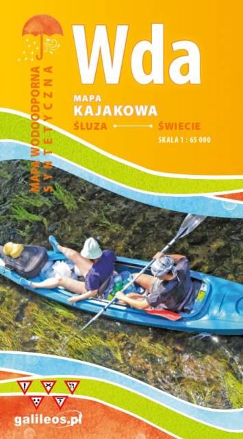
Mapa przedstawia szlak kajakowy rzeką Wdą od miejscowości Klanin do Świecia. Na mapie zaznaczono kilometraż rzeki oraz obiekty istotne dla kajakarza takie jak miejsca niebezpieczne, przeszkody na trasie spływu, pola biwakowe. Mapa jest zorientowana zgodnie z kierunkiem płynięcia.
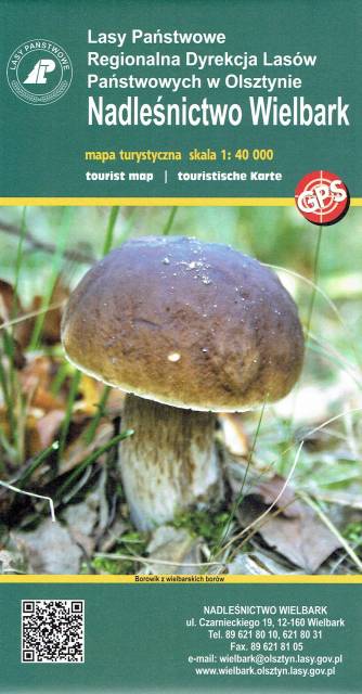
Wielbark is a small village located south of Szczytno. The very cover of the map shows the richness of the local forests. In addition to the beautiful undergrowth, the area offers many other interesting places worth visiting. Before the Second World War, the area was on the Polish-German border - you can still see remnants of the former border, or the reconstructed former border post. The Omulew River, on the other hand, provides an unforgettable experience for canoeists, not forgetting the well-prepared cycling and Nordic Walking trails. And the beautiful and extensive forests offer a sense of tranquillity along the route.
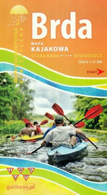
Mapa Brda przedstawia szlak kajakowy rzeką Brdą, od Tucholi do Bydgoszczy. Na mapie zaznaczono kilometraż rzeki oraz obiekty istotne dla kajakarza takie jak miejsca niebezpieczne, przeszkody na trasie spływu, pola biwakowe.
Mapa jest zorientowana zgodnie z kierunkiem płynięcia.
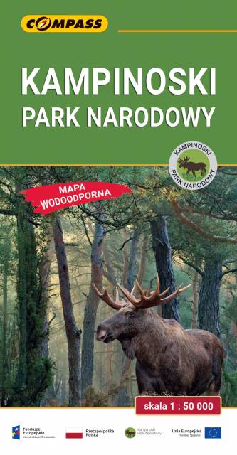
The Kampinos National Park is situated in east-central Poland, in the Masovian Voivodeship, on the north-western outskirts of Warsaw. It covers the ancient Kampinos Forest. In January 2000 the area was added to UNESCO’s list of biosphere reserves. On the map walking, cycling, skiing and horse trails are marked, e.g. Kampinos Cycling Trail whose total length is around 200 km.